world.wikisort.org - Mexico
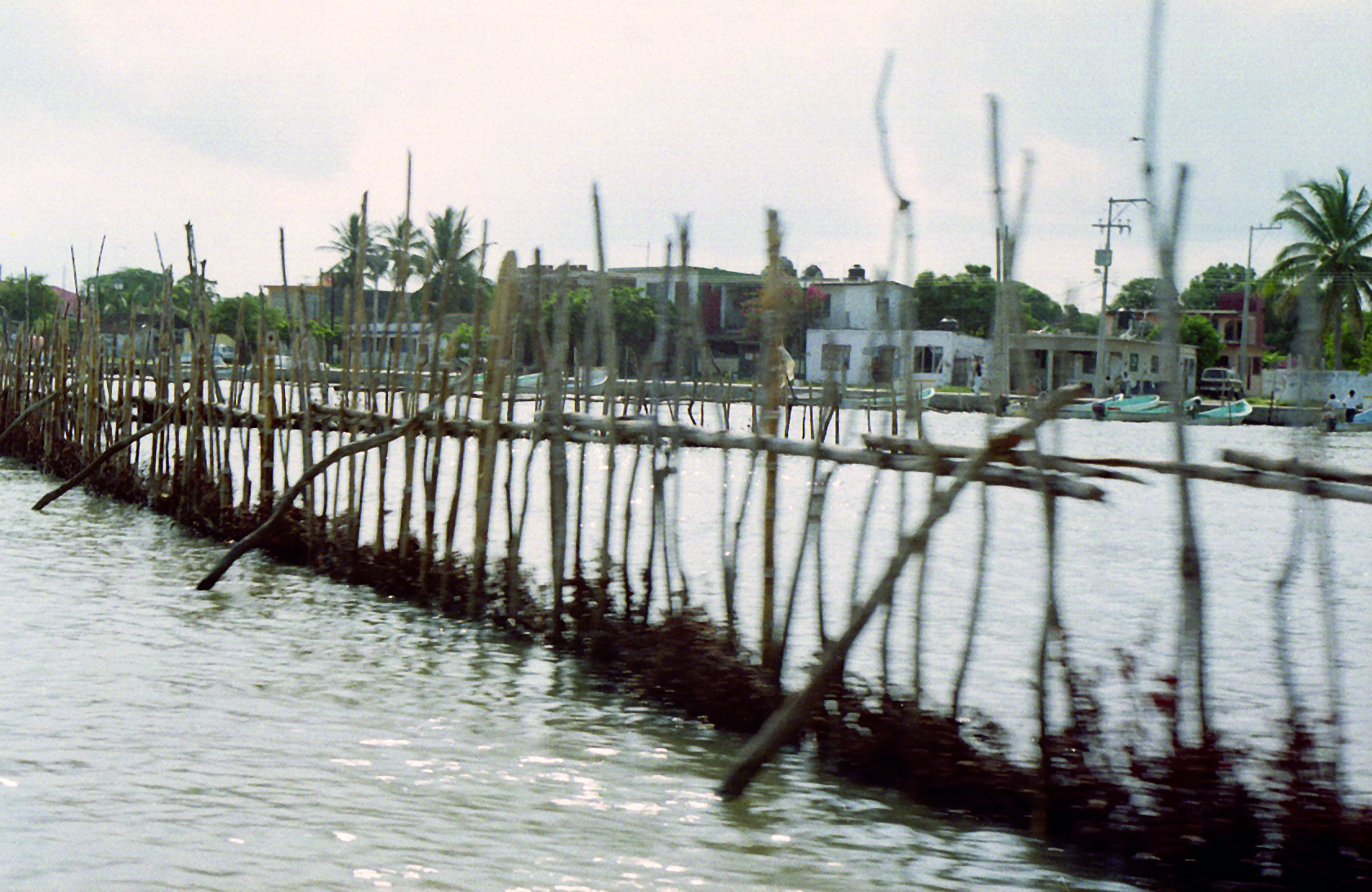
Tamiahua is a municipality located in the northern part of the state of Veracruz in Mexico. It covers an area of 985.4 km2. It is located at the southern end of the Tamiahua Lagoon. The name may come from the Náhuatl language Tla-mia-hua-c: "In the flowers of maize of the land"; or Huasteco, Tam-yan-ja: "Place of great waters".
Tamiahua | |
|---|---|
Municipality | |
Tamiahua Location of Tamiahua within Mexico | |
| Coordinates: 21°17′N 97°27′W | |
| Country | |
| State | Veracruz |
| Government | |
| • Mayor | Linda Guadalupe Rodríguez Torres (Lupita Rodríguez) |
| Area | |
| • Total | 985.4 km2 (380.5 sq mi) |
| Elevation | 10 m (30 ft) |
| Time zone | UTC-6 (CST) |
| • Summer (DST) | UTC-5 (CDT) |
| Postal code | 92560 |
| Area code(s) | 768 |
| Website | http://www.tamiahua.gob.mx/ |
Geographic Limits
The municipality of Tamiahua is delimited to the north by Ozuluama and Tampico Alto, to the east by Gulf of Mexico, to the south by Temapache and Tuxpam de Rodríguez Cano, and to the west by Tamalín, Chinampa de Gorostiza, Naranjos Amatlán, Tancoco and Cerro Azul.[1] Its development has allowed the creation of two wharves and two piers, and the municipality has established industries between two medians emphasizing the production of oysters.
Agriculture & Fishing
The town produces principally maize, beans, green chile and orange fruit. Along the coastline fresh seafood, including shrimp, crabs, and oysters, is harvested and attracts tourism to the area.
Celebrations
In July, Tamiahua holds celebrations in honor of Santiago Apostol, patron of the town, and in December there is a celebration in honor of the Virgin of Guadalupe.
Weather
The weather in Tamiahua is very warm and wet all year with rains in summer and autumn.
References
- "Enciclopedia de los Municipios de México: Tamiahua" (in Spanish). [Gobierno Estatal]. Retrieved 2009-06-15.
External links
- (in Spanish) Municipal Official webpage
- (in Spanish) Municipal Official Information]
Xalapa (capital) | |||||||||||||||||||||||
| |||||||||||||||||||||||
На других языках
- [en] Tamiahua
[es] Municipio de Tamiahua
El municipio de Tamiahua se encuentra en el estado de Veracruz, es uno de los 212 municipios de la entidad y tiene su ubicación en la zona norte del Estado, forma parte de la región Huasteca Alta y está catalogado como un municipio semiurbano. Sus coordenadas son 21°17’ latitud norte, longitud oeste de 97°27’ y cuenta con una altura de 4 msnm. Su cabecera municipal es la Villa de Tamiahua, y se conforma de población urbana. La extensión territorial del municipio es 981 Kilomentros cuadrados, del que forma parte de 109 núcleos poblacionales entre las que se encuentran congregaciones y rancherías. Desde el siglo XIX La villa de Tamiahua pertenecía al canton de Tuxpan. [4]Другой контент может иметь иную лицензию. Перед использованием материалов сайта WikiSort.org внимательно изучите правила лицензирования конкретных элементов наполнения сайта.
WikiSort.org - проект по пересортировке и дополнению контента Википедии