world.wikisort.org - Mexico
Silacayoapam District is located in the northwest of the Mixteca Region of the State of Oaxaca, Mexico.[1]
Silacayoapam District | |
|---|---|
District | |
 Oaxaca regions and districts: Mixteca to Northwest | |
| Coordinates: 17°30′0″N 98°8′0″W | |
| Country | |
| State | Oaxaca |
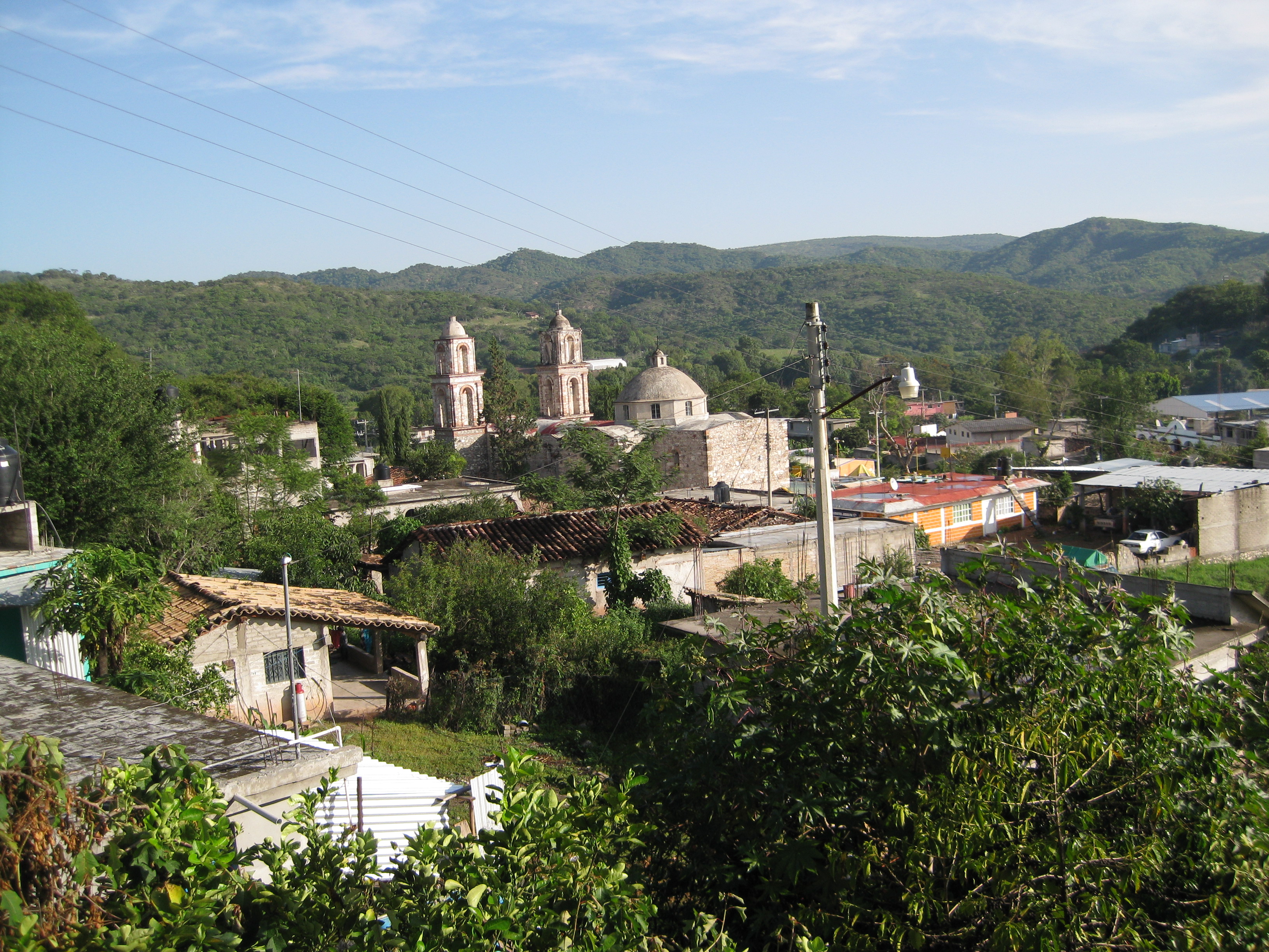
The climate is temperate, with average temperature of 20.6°C. The warmest area is the municipality of San Nicolás Hidalgo (21.1°C) and the coolest is San Mateo Nejapam (19.6°C). Annual rainfall is about 920 mm, with highest rainfall in September. The region has coniferous forests that include ceiba, huanacastle, pine, strawberry, moral, and oak. Wildlife include rattlesnake, quail, frog, lynx, mountain rabbit, coyote, gray fox, owl, red squirrel, eagle, hawk, necklace dove and owl.[1]
Municipalities

The district includes the following municipalities:[2]
- Calihualá
- Guadalupe de Ramírez
- Ixpantepec Nieves
- San Agustín Atenango
- San Andrés Tepetlapa
- San Francisco Tlapancingo
- San Juan Bautista Tlachichilco
- San Juan Cieneguilla
- San Juan Ihualtepec
- San Lorenzo Victoria
- San Mateo Nejapam
- San Miguel Ahuehuetitlán
- San Nicolás Hidalgo
- Santa Cruz de Bravo
- Santiago del Río
- Santiago Tamazola
- Santiago Yucuyachi
- Silacayoapam
- Zapotitlán Lagunas
References
- "ESTADO DE OAXACA: SILACAYOAPAM". Enciclopedia de los Municipios de México. Instituto Nacional para el Federalismo y el Desarrollo Municipal. Retrieved June 15, 2009.
- "Enciclopedia de los Municipios de México: Estado de Oaxaca". Retrieved 2010-07-08.
This article about a location in the Mexican state of Oaxaca is a stub. You can help Wikipedia by expanding it. |
Другой контент может иметь иную лицензию. Перед использованием материалов сайта WikiSort.org внимательно изучите правила лицензирования конкретных элементов наполнения сайта.
WikiSort.org - проект по пересортировке и дополнению контента Википедии