world.wikisort.org - Mexico
Santiago Comaltepec is a town and municipality in Oaxaca in south-western Mexico. It is part of the Ixtlán District in the Sierra Norte region.[1]
Santiago Comaltepec | |
|---|---|
Municipality and town | |
Santiago Comaltepec Location in Mexico | |
| Coordinates: 17°34′N 96°33′W | |
| Country | |
| State | Oaxaca |
| Area | |
| • Total | 65.07 km2 (25.12 sq mi) |
| Time zone | UTC-6 (Central Standard Time) |
| • Summer (DST) | UTC-5 (Central Daylight Time) |
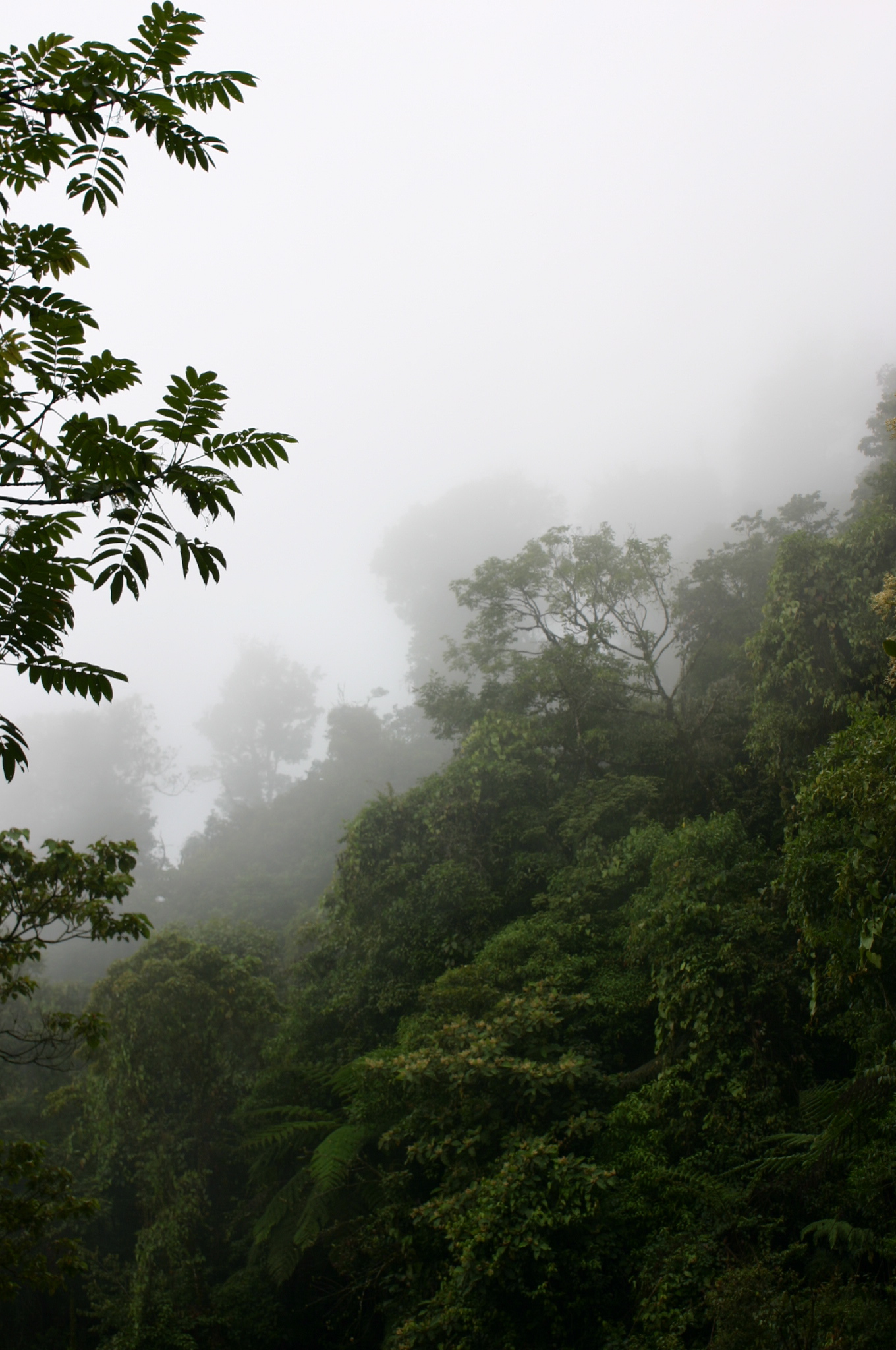
The municipality covers an area of 65.07 km² and is about 2,000 meters above sea level. The region is covered with cloud forests of oak and pine wood. Fruit trees include apple, peach, orange and banana. Wild animals include badger, mountain lion, boar and fox. Trout and crappie are found in the streams.[1]
As of 2005, the municipality had 336 households with a total population of 1,386 of whom 1,203 spoke an indigenous language, Chinantec. The roads are unpaved. The main economic activities were agriculture, hunting and fishing.[1]
References
- "Santiago Comaltepec". Enciclopedia de los Municipios de México. Instituto Nacional para el Federalismo y el Desarrollo Municipal. Retrieved 2010-06-13.
Authority control | |
|---|---|
| General |
|
| National libraries | |
This article about a location in the Mexican state of Oaxaca is a stub. You can help Wikipedia by expanding it. |
Другой контент может иметь иную лицензию. Перед использованием материалов сайта WikiSort.org внимательно изучите правила лицензирования конкретных элементов наполнения сайта.
WikiSort.org - проект по пересортировке и дополнению контента Википедии