world.wikisort.org - Mexico
Ocampo is one of the 38 municipalities of Coahuila, in north-eastern Mexico, and the largest by area. The municipal seat lies at Ocampo. The municipality covers an area of 26,433 km² and is located on the international border between Mexico and the USA, here formed by the Río Bravo del Norte (Rio Grande), adjacent to the U.S. state of Texas.
Ocampo | |
|---|---|
Municipality | |
 Seal | |
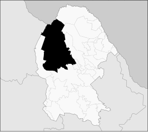 Municipality of Ocampo in Coahuila | |
Ocampo Location in Mexico | |
| Coordinates: 27°18′50″N 102°23′50″W | |
| Country | |
| State | Coahuila |
| Municipal seat | Ocampo |
| Area | |
| • Total | 26,433 km2 (10,206 sq mi) |
| Population (2010) | |
| • Total | 10,991 |
In 2010, the municipality had a total population of 10,991.[1]
Towns and villages
The largest localities (cities, towns, and villages) are:
| Name | 2010 Census Population |
|---|---|
| Ocampo | 3,679 |
| Laguna del Rey (Químicas del Rey) | 2,651 |
| Chula Vista | 1,671 |
| San Miguel | 259 |
| La Rosita | 257 |
| Boquillas del Carmen | 110 |
| Total Municipality | 10,991 |
Adjacent municipalities and counties
- Acuña Municipality - northeast
- Múzquiz Municipality - northeast
- San Buenaventura Municipality - east
- Nadadores Municipality - southeast
- Lamadrid Municipality - southeast
- Cuatrociénegas Municipality - south
- Sierra Mojada Municipality - west
- Camargo Municipality, Chihuahua - west
- Manuel Benavides Municipality, Chihuahua - northwest
- Brewster County, Texas - north
References
- 2010 census tables: INEGI Archived 2013-05-02 at the Wayback Machine accessdate=April 29, 2011
Places adjacent to Ocampo Municipality, Coahuila | ||||||||||||||||
|---|---|---|---|---|---|---|---|---|---|---|---|---|---|---|---|---|
| ||||||||||||||||
Saltillo (capital) | ||
| Topics |
|  |
| Municipalities and (municipal seats) |
| |
| Protected areas |
| |
This article about a location in the Mexican state of Coahuila is a stub. You can help Wikipedia by expanding it. |
На других языках
- [en] Ocampo Municipality, Coahuila
[ru] Окампо (муниципалитет Коауилы)
Окампо (исп. Ocampo) — муниципалитет в Мексике, штат Коауила, с административным центром в одноимённом городе. Численность населения, по данным переписи 2020 года, составила 9642 человека.Текст в блоке "Читать" взят с сайта "Википедия" и доступен по лицензии Creative Commons Attribution-ShareAlike; в отдельных случаях могут действовать дополнительные условия.
Другой контент может иметь иную лицензию. Перед использованием материалов сайта WikiSort.org внимательно изучите правила лицензирования конкретных элементов наполнения сайта.
Другой контент может иметь иную лицензию. Перед использованием материалов сайта WikiSort.org внимательно изучите правила лицензирования конкретных элементов наполнения сайта.
2019-2025
WikiSort.org - проект по пересортировке и дополнению контента Википедии
WikiSort.org - проект по пересортировке и дополнению контента Википедии