world.wikisort.org - Kyrgyzstan
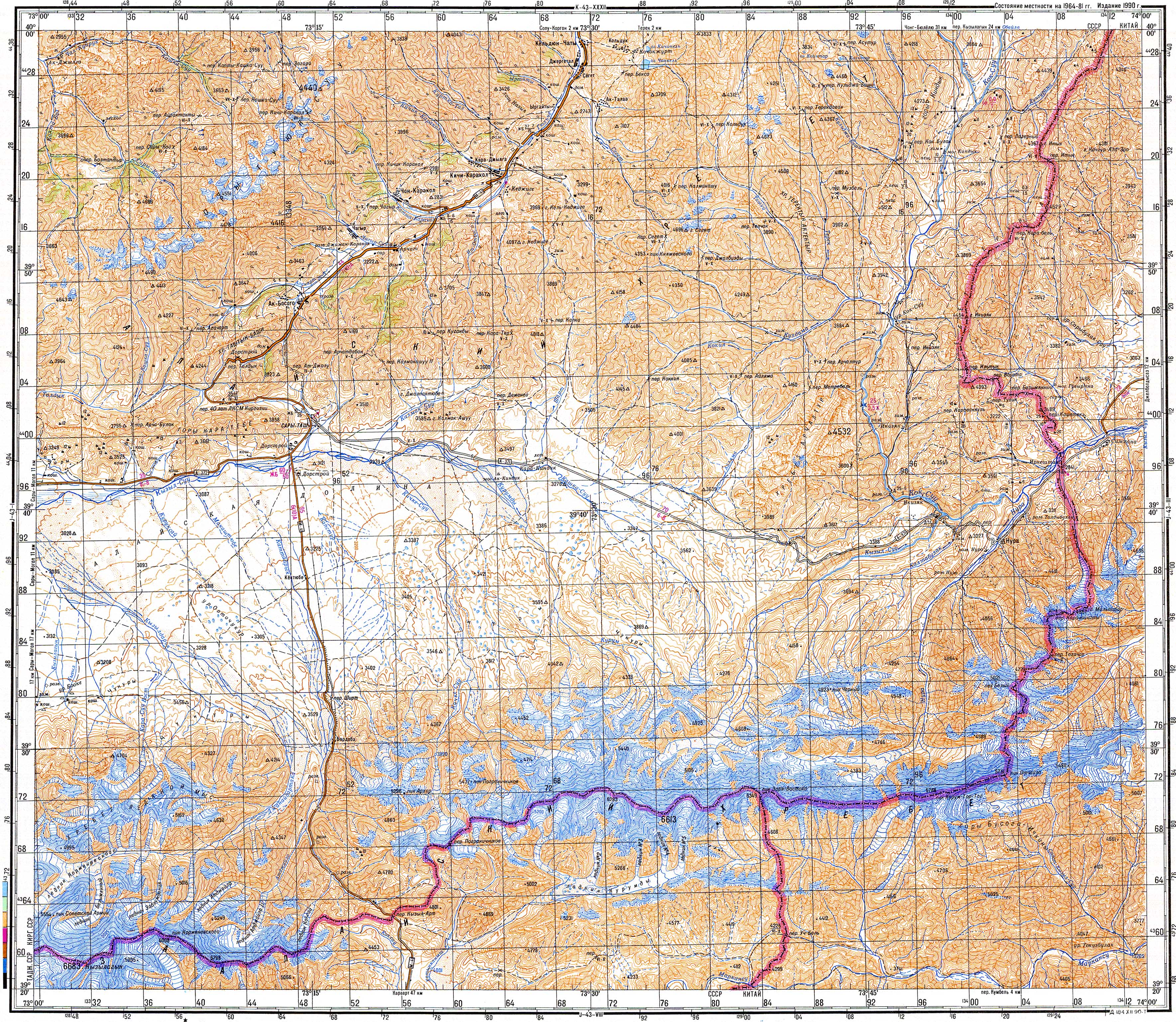
Kyzyl-Alay (Kyrgyz: Кызыл-Алай) also known as Chagyr (Kyrgyz: Чагыр)[1] is a mountain village in Osh Region of Kyrgyzstan, near highway M41. It is part of the Alay District.[2] Its population was 1,310 in 2021.[3]
Kyzyl-Alay
Кызыл-Алай Chagyr | |
|---|---|
 Kyzyl-Alay | |
| Coordinates: 39°51′36″N 73°16′48″E | |
| Country | Kyrgyzstan |
| Region | Osh Region |
| Elevation | 2,654 m (8,707 ft) |
| Population (2021) | |
| • Total | 1,310 |
| Time zone | UTC+6 |
Nearby towns and villages include Ak-Bosogo (8 km or 5 mi) and Chong-Karakol (13 km or 8 mi).
References
- Soviet military map J-43-02 (1:200,000)
- "Classification system of territorial units of the Kyrgyz Republic" (in Kyrgyz). National Statistics Committee of the Kyrgyz Republic. May 2021. pp. 46–48.
- "Population of regions, districts, towns, urban-type settlements, rural communities and villages of Kyrgyz Republic" (XLS) (in Russian). National Statistics Committee of the Kyrgyz Republic. 2021. Archived from the original on 10 November 2021.
External links
This Osh Region location article is a stub. You can help Wikipedia by expanding it. |
Текст в блоке "Читать" взят с сайта "Википедия" и доступен по лицензии Creative Commons Attribution-ShareAlike; в отдельных случаях могут действовать дополнительные условия.
Другой контент может иметь иную лицензию. Перед использованием материалов сайта WikiSort.org внимательно изучите правила лицензирования конкретных элементов наполнения сайта.
Другой контент может иметь иную лицензию. Перед использованием материалов сайта WikiSort.org внимательно изучите правила лицензирования конкретных элементов наполнения сайта.
2019-2026
WikiSort.org - проект по пересортировке и дополнению контента Википедии
WikiSort.org - проект по пересортировке и дополнению контента Википедии