world.wikisort.org - Japan
Iinan (飯南町, Iinan-chō) is a town located in Iishi District, Shimane Prefecture, Japan.
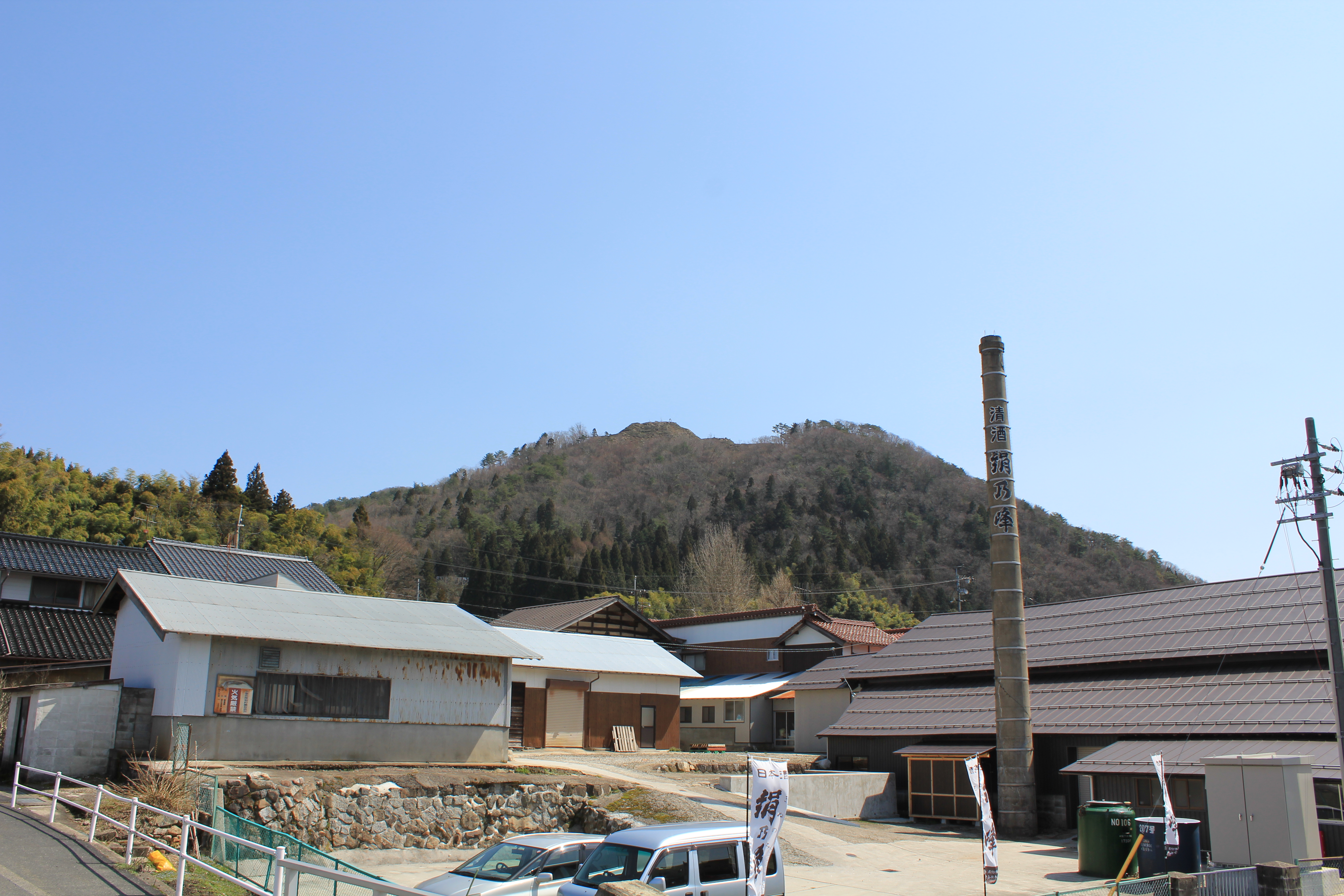
Iinan
飯南町 | |
|---|---|
Town | |
 Iinan town hall | |
|
Flag | |
Location of Iinan in Shimane Prefecture | |
 Iinan Location in Japan | |
| Coordinates: 35°0′N 132°43′E | |
| Country | Japan |
| Region | Chūgoku San'in |
| Prefecture | Shimane Prefecture |
| District | Iishi |
| Area | |
| • Total | 242.84 km2 (93.76 sq mi) |
| Population (March 1, 2017) | |
| • Total | 4,908 |
| • Density | 20/km2 (52/sq mi) |
| Time zone | UTC+09:00 (JST) |
| City hall address | 890 Shimoakana, Iinan-machi 690-3513 |
| Climate | Cfa |
| Website | www |
| Symbols | |
| Flower | Peony |
| Tree | Beech |
It was formed on January 1, 2005 from the merger of the towns of Tonbara and Akagi, both from Iishi District.
As of March 1, 2017 the town has a population of 4,908 and a density of 20 persons per km². The area is 242.84 km².
Geography
Located on the border of Shimane Prefecture and Hiroshima Prefecture, the Gōno River flows to its west. The town is part of the Hiba-Dōgo-Taishaku Quasi-National Park.[1]
Mountains: Mt. Oyorogi, Mt. Kotobiki, Mt. Mengame
Rivers: Kando River, Tonbara River, Akana River, Ono River (Tributary of Kando River)
Lakes: Lake Kijima (Kijima Dam lake)
Subdivisions
- Akana
- Kijima
- Oda
- Tani
- Tonbara, formerly part of Tonbara, Shimane
Surrounding municipalities
Climate
Iinan has a humid subtropical climate (Köppen climate classification Cfa) with very warm summers and cool winters. Precipitation is abundant throughout the year. The average annual temperature in Iinan is 11.7 °C (53.1 °F). The average annual rainfall is 2,044.9 mm (80.51 in) with July as the wettest month. The temperatures are highest on average in August, at around 23.8 °C (74.8 °F), and lowest in January, at around 0.3 °C (32.5 °F).[2] The highest temperature ever recorded in Iinan was 35.1 °C (95.2 °F) on 16 July 2018; the coldest temperature ever recorded was −14.0 °C (6.8 °F) on 28 February 1981.[3]
| Climate data for Akana, Iinan (1991−2020 normals, extremes 1978−present) | |||||||||||||
|---|---|---|---|---|---|---|---|---|---|---|---|---|---|
| Month | Jan | Feb | Mar | Apr | May | Jun | Jul | Aug | Sep | Oct | Nov | Dec | Year |
| Record high °C (°F) | 14.3 (57.7) |
18.6 (65.5) |
21.5 (70.7) |
28.9 (84.0) |
30.6 (87.1) |
32.2 (90.0) |
35.1 (95.2) |
35.0 (95.0) |
33.2 (91.8) |
28.3 (82.9) |
22.8 (73.0) |
17.3 (63.1) |
35.1 (95.2) |
| Average high °C (°F) | 3.8 (38.8) |
5.1 (41.2) |
10.0 (50.0) |
16.6 (61.9) |
21.7 (71.1) |
24.6 (76.3) |
27.8 (82.0) |
29.2 (84.6) |
24.8 (76.6) |
19.1 (66.4) |
13.0 (55.4) |
6.6 (43.9) |
16.9 (62.4) |
| Daily mean °C (°F) | 0.3 (32.5) |
0.9 (33.6) |
4.4 (39.9) |
10.2 (50.4) |
15.4 (59.7) |
19.3 (66.7) |
23.0 (73.4) |
23.8 (74.8) |
19.4 (66.9) |
13.3 (55.9) |
7.8 (46.0) |
2.6 (36.7) |
11.7 (53.0) |
| Average low °C (°F) | −3.2 (26.2) |
−3.3 (26.1) |
−0.8 (30.6) |
3.9 (39.0) |
9.4 (48.9) |
14.7 (58.5) |
19.4 (66.9) |
19.8 (67.6) |
15.1 (59.2) |
8.3 (46.9) |
3.0 (37.4) |
−1.1 (30.0) |
7.1 (44.8) |
| Record low °C (°F) | −11.8 (10.8) |
−14.0 (6.8) |
−11.0 (12.2) |
−5.7 (21.7) |
−1.6 (29.1) |
5.3 (41.5) |
6.7 (44.1) |
10.9 (51.6) |
2.3 (36.1) |
−1.5 (29.3) |
−4.2 (24.4) |
−11.0 (12.2) |
−14.0 (6.8) |
| Average precipitation mm (inches) | 172.5 (6.79) |
144.4 (5.69) |
152.6 (6.01) |
136.5 (5.37) |
155.8 (6.13) |
214.5 (8.44) |
297.1 (11.70) |
172.1 (6.78) |
205.3 (8.08) |
111.9 (4.41) |
106.8 (4.20) |
175.4 (6.91) |
2,044.9 (80.51) |
| Average snowfall cm (inches) | 179 (70) |
139 (55) |
47 (19) |
1 (0.4) |
0 (0) |
0 (0) |
0 (0) |
0 (0) |
0 (0) |
0 (0) |
3 (1.2) |
87 (34) |
457 (180) |
| Average precipitation days (≥ 1.0 mm) | 18.9 | 15.9 | 15.0 | 11.5 | 10.3 | 12.7 | 13.5 | 10.9 | 11.3 | 9.6 | 11.9 | 17.7 | 159.2 |
| Average snowy days (≥ 3 cm) | 16.8 | 13.9 | 5.5 | 0.1 | 0 | 0 | 0 | 0 | 0 | 0 | 0.3 | 7.3 | 43.9 |
| Mean monthly sunshine hours | 57.7 | 74.9 | 133.7 | 179.5 | 203.4 | 145.4 | 147.8 | 178.9 | 134.9 | 148.9 | 109.3 | 67.9 | 1,576 |
| Source: Japan Meteorological Agency[3][2] | |||||||||||||
Demographics
Per Japanese census data,[4][5] the population of Iinan has decreased by more than half over the past 50 years.
| Year | Pop. | ±% |
|---|---|---|
| 1970 | 9,163 | — |
| 1975 | 8,180 | −10.7% |
| 1985 | 7,771 | −5.0% |
| 1985 | 7,650 | −1.6% |
| 1990 | 7,331 | −4.2% |
| 1995 | 6,893 | −6.0% |
| 2000 | 6,541 | −5.1% |
| 2005 | 5,979 | −8.6% |
| 2010 | 5,534 | −7.4% |
| 2015 | 5,031 | −9.1% |
| 2020 | 4,577 | −9.0% |
| (Population of Tonbara and Akagi added together before 2005) | ||
Transportation
National Highways
- National Highway 54
- National Highway 184
Roadside Stations
- Roadside Station Akagi Plateau
- Roadside Station Tonbara
There is no railroad access to Iinan.
Notable places
- Akana Castle
- It is an old castle located on top of a hill in the Akana area of the town.
- Mount Mengame
- Situated on the border of Hiroshima Prefecture and Shimane Prefecture, Mount Mengame has an elevation of 830.3m. It is known for being the only place in the Chūgoku Region in which Luehdorfia are found.[6]
- Mount Kotobiki
- Mount Kotobiki has an elevation of 1014m. Near the summit of the mountain is a small shrine and a forest of beech trees. The name "Kotobiki" comes from the traditional Japanese musical instrument, the koto.[7]
- Akana Marshland
- The Akana Marshland is located in the Fukuda Area of the town, and is centered in Lake Nagao. It is known for having the largest forest of alders in the prefecture.[8]
- Kotobiki Camp Area
- The Kotobiki Camp Area is located at the foot of Mount Kotobiki. It is open from late April to late October.[9]
References
- 考える社会科地図 Kangaeru Shakaika Chizu. 四谷大塚出版 Yotsuya-Ōtsuka Shuppan. 2005. p. 25.
- 気象庁 / 平年値(年・月ごとの値). JMA. Retrieved April 24, 2022.
- 観測史上1~10位の値(年間を通じての値). JMA. Retrieved April 24, 2022.
- ja:飯南町
- https://www.citypopulation.de/en/japan/shimane/ Iinan population statistics
- (in Japanese) おかえりなさい!:島根県飯南町観光WEB Archived 2012-08-02 at archive.today
- (in Japanese) おかえりなさい!:島根県飯南町観光WEB Archived 2007-12-09 at the Wayback Machine
- (in Japanese) おかえりなさい!:島根県飯南町観光WEB Archived 2007-12-09 at the Wayback Machine
- (in Japanese) おかえりなさい!:島根県飯南町観光WEB Archived 2007-10-12 at the Wayback Machine
External links
 Media related to Iinan, Shimane at Wikimedia Commons
- Iinan official website (in Japanese)
Authority control | |
|---|---|
| General |
|
| National libraries | |
This Shimane Prefecture location article is a stub. You can help Wikipedia by expanding it. |
На других языках
- [en] Iinan, Shimane
[es] Iinan (Shimane)
Iinan (飯南町, Iinan-chō?) es un pueblo localizado en la prefectura de Shimane, Japón. En junio de 2019 tenía una población estimada de 4.696 habitantes y una densidad de población de 19,3 personas por km². Su área total es de 242,88 km².[ru] Иинан
Иинан (яп. 飯南町 Иинан-тё:) — посёлок в Японии, находящийся в уезде Ииси префектуры Симане. Площадь посёлка составляет 242,84 км²[1], население — 5162 человека (1 августа 2014)[2], плотность населения — 21,26 чел./км².Другой контент может иметь иную лицензию. Перед использованием материалов сайта WikiSort.org внимательно изучите правила лицензирования конкретных элементов наполнения сайта.
WikiSort.org - проект по пересортировке и дополнению контента Википедии