world.wikisort.org - Italy
Petritoli is a comune (municipality) in the Province of Fermo in the Italian region Marche, located about 90 kilometres (56 mi) south of Ancona and about 50 kilometres (31 mi) north of Ascoli Piceno.
Petritoli | |
|---|---|
Comune | |
| Comune di Petritoli | |
 | |
 Coat of arms | |
Location of Petritoli  | |
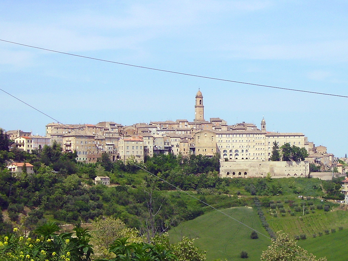
 Petritoli Location of Petritoli in Italy  Petritoli Petritoli (Marche) | |
| Coordinates: 43°4′N 13°39′E | |
| Country | Italy |
| Region | Marche |
| Province | Fermo (FM) |
| Frazioni | Moregnano, Valmir |
| Government | |
| • Mayor | Luca Pezzani |
| Area | |
| • Total | 23.8 km2 (9.2 sq mi) |
| Elevation | 358 m (1,175 ft) |
| Population | |
| • Total | 2,494 |
| • Density | 100/km2 (270/sq mi) |
| Demonym(s) | Petritolesi |
| Time zone | UTC+1 (CET) |
| • Summer (DST) | UTC+2 (CEST) |
| Postal code | 63027 |
| Dialing code | 0734 |
| Patron saint | St. John the Baptist |
| Saint day | 24 June |
Petritoli borders the following municipalities: Carassai, Monte Giberto, Monte Vidon Combatte, Montefiore dell'Aso, Monterubbiano, Ponzano di Fermo.
Twin towns
 Vidor, Italy
References
- "Superficie di Comuni Province e Regioni italiane al 9 ottobre 2011". Italian National Institute of Statistics. Retrieved 16 March 2019.
- All demographics and other statistics: Italian statistical institute Istat.
- "Popolazione Residente al 1° Gennaio 2018". Italian National Institute of Statistics. Retrieved 16 March 2019.
External links
| Authority control |
|
|---|
На других языках
- [en] Petritoli
[es] Petritoli
Petritoli es una localidad y comune italiana de la provincia de Fermo, región de las Marcas, con 2498 habitantes.[ru] Петритоли
Петритоли (итал. Petritoli) — коммуна в Италии, располагается в регионе Марке, в провинции Фермо.Текст в блоке "Читать" взят с сайта "Википедия" и доступен по лицензии Creative Commons Attribution-ShareAlike; в отдельных случаях могут действовать дополнительные условия.
Другой контент может иметь иную лицензию. Перед использованием материалов сайта WikiSort.org внимательно изучите правила лицензирования конкретных элементов наполнения сайта.
Другой контент может иметь иную лицензию. Перед использованием материалов сайта WikiSort.org внимательно изучите правила лицензирования конкретных элементов наполнения сайта.
2019-2026
WikiSort.org - проект по пересортировке и дополнению контента Википедии
WikiSort.org - проект по пересортировке и дополнению контента Википедии