world.wikisort.org - Italy
Cantagallo is a comune (municipality) in the Province of Prato in the Italian region Tuscany, located about 30 kilometres (19 mi) northwest of Florence and about 15 kilometres (9 mi) north of Prato.

This article needs additional citations for verification. (November 2012) |
Cantagallo | |
|---|---|
Comune | |
| Comune di Cantagallo | |
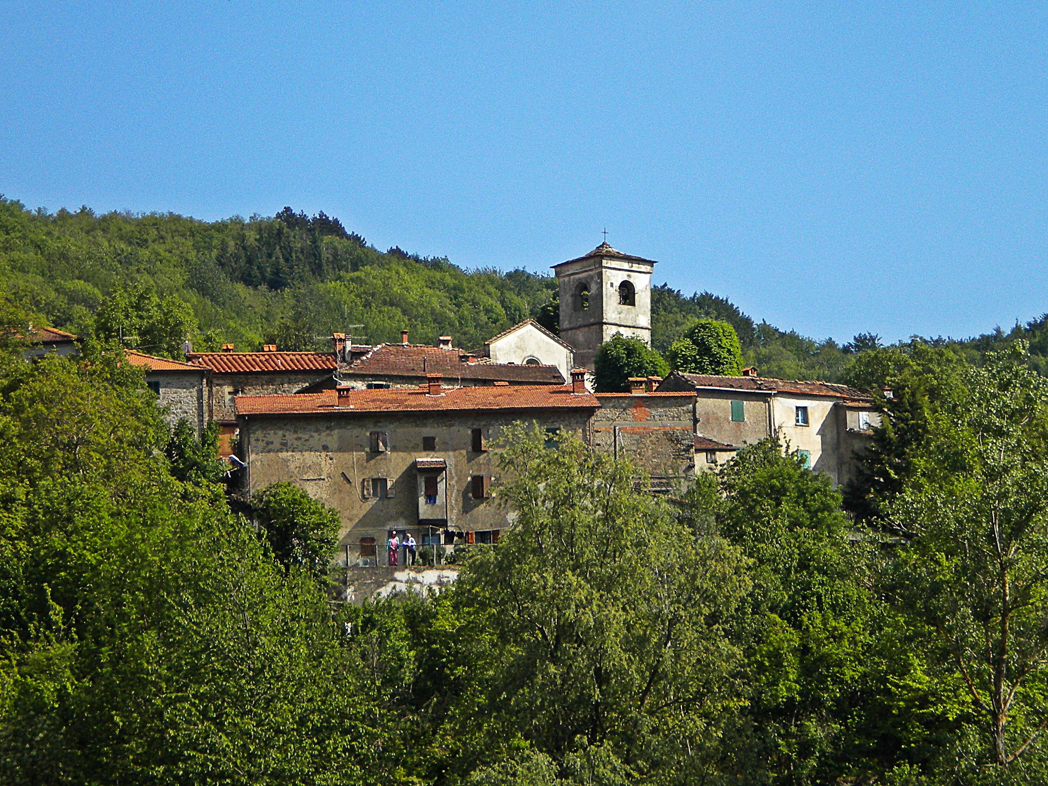
 Cerbaia Fortress | |
Location of Cantagallo  | |
 Cantagallo Location of Cantagallo in Italy  Cantagallo Cantagallo (Tuscany) | |
| Coordinates: 44°1′N 11°5′E | |
| Country | Italy |
| Region | Tuscany |
| Province | Prato (PO) |
| Frazioni | Fossato, Gavigno, L'Acqua, Luicciana, Migliana, Gricigliana, La Rocca di Cerbaia, Carmignanello, Usella, Il Fabbro |
| Government | |
| • Mayor | Guglielmo Bongiorno |
| Area | |
| • Total | 94.9 km2 (36.6 sq mi) |
| Elevation | 423 m (1,388 ft) |
| Population (30 April 2017)[2] | |
| • Total | 3,136 |
| • Density | 33/km2 (86/sq mi) |
| Demonym | Cantagallesi |
| Time zone | UTC+1 (CET) |
| • Summer (DST) | UTC+2 (CEST) |
| Postal code | 59025 |
| Dialing code | 0574 |
| Website | Official website |
Geography
Cantagallo borders the following municipalities: Barberino di Mugello, Camugnano, Montale, Montemurlo, Pistoia, Sambuca Pistoiese, Vaiano, and Vernio.
Frazioni
- Luicciana
- Cambiaticcio
- Carmignanello
- Castello Averardi
- Montagnana (Cantagallo)
- Cerbaia
- Codilupo
- Colle Bisenzio
- Fossato (Cantagallo)
- Gavigno
- Gricigliana
- Il Fabbro
- L'Acqua
- La Dogana Il Pucci
- La Villa (Cantagallo)
- Luicciana
- Migliana
- Pratale
- Trairio
- Usella
- Luogomano-Acquerino
Nature
- Reserve Luogomano-Acquerino
- Passo del Tabernacolo
- Pian della Rasa
Culture
Events in the municipality include:
- Old villages and ancient flavors in Luicciana (November)
- Mountain in feast in Cascina Spedalletto-reserve Luogomano-Acquerino (July)
- Feast of the chestnut in Migliana (October–December)
- Feast of the garlic bread in Gavigno (August)
- Feast of the boar in Gavigno (July)
- Feast of the potato in La Villa (September)
- Feast of the zonzella in Gavigno (June)
- Sant'Anna feast in Cantagallo (July)
- Tour of the cribs in Migliana (December–January)
Main sights
Churches
- San Biagio in Cantagallo
- San Lorenzo in Usella
- San Michele in Luicciana
- San Donato in L'Acqua
- San Lorenzo in Fossato
- San Michele in Codilupo
- San Rocco in Fossato
- Oratory of Sant'Agostino in Gavigno
- Santa Caterina d'Alessandria in Gricigliana
- Santa Caterina d'Alessandria in Carmignanello
- Santa Maria in Castello Averardi
- Santa Maria Assunta in Migliana
- Santa Maria Assunta oratory in Migliana - old church
Villas
- Villa Novellucci in Gricigliana
- Villa Guicciardini in Il Fabbro
- Villa Bini in Pratale
Other sights
- Sessanto bridge in Carmignanello
- Medieval bridge in Cerbaia
- Cerbaia fortress in Cerbaia
- Pispola mill in Cerbaia
- Adventure park in Gavigno - between Gavigno and Passo del Tabernacolo
References
- "Superficie di Comuni Province e Regioni italiane al 9 ottobre 2011". Italian National Institute of Statistics. Retrieved 16 March 2019.
- All demographics and other statistics: Italian statistical institute Istat.
External links
![]() Media related to Cantagallo at Wikimedia Commons
Media related to Cantagallo at Wikimedia Commons
Authority control | |
|---|---|
| General |
|
| National libraries | |
На других языках
[de] Cantagallo (Toskana)
Cantagallo ist eine italienische Gemeinde mit 3167 Einwohnern (Stand 31. Dezember 2019) in der Provinz Prato, Region Toskana.- [en] Cantagallo, Tuscany
[es] Cantagallo (Prato)
Cantagallo es una localidad italiana de la provincia de Prato, región de Toscana, con 2.941 habitantes.[3][ru] Кантагалло
Кантагалло (итал. Cantagallo) — коммуна в Италии, располагается в регионе Тоскана, в провинции Прато.Текст в блоке "Читать" взят с сайта "Википедия" и доступен по лицензии Creative Commons Attribution-ShareAlike; в отдельных случаях могут действовать дополнительные условия.
Другой контент может иметь иную лицензию. Перед использованием материалов сайта WikiSort.org внимательно изучите правила лицензирования конкретных элементов наполнения сайта.
Другой контент может иметь иную лицензию. Перед использованием материалов сайта WikiSort.org внимательно изучите правила лицензирования конкретных элементов наполнения сайта.
2019-2025
WikiSort.org - проект по пересортировке и дополнению контента Википедии
WikiSort.org - проект по пересортировке и дополнению контента Википедии