world.wikisort.org - Italy
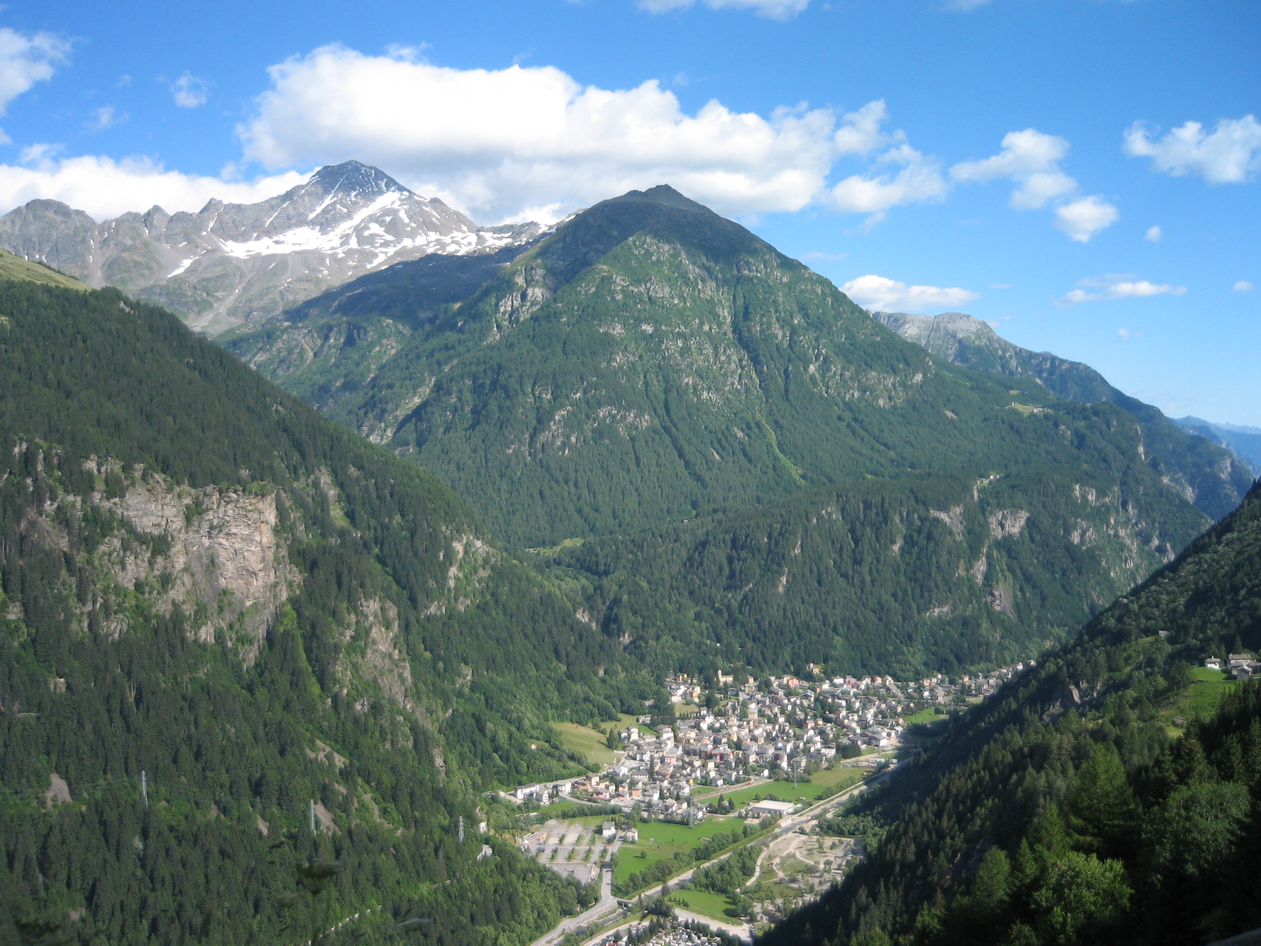
Campodolcino (Candulscin in Chiavennasque dialect) is a comune (municipality) in the Province of Sondrio in the Italian region Lombardy, located about 100 kilometres (62 mi) north of Milan and about 50 kilometres (31 mi) northwest of Sondrio, on the border with Switzerland. As of 31 December 2004, it had a population of 1,077 and an area of 48.3 square kilometres (18.6 sq mi).[3]
Campodolcino | |
|---|---|
Comune | |
| Comune di Campodolcino | |
 | |
Location of Campodolcino  | |
 Campodolcino Location of Campodolcino in Italy  Campodolcino Campodolcino (Lombardy) | |
| Coordinates: 46°24′N 9°21′E | |
| Country | Italy |
| Region | Lombardy |
| Province | Province of Sondrio (SO) |
| Frazioni | Tini, Strarleggia, Fraciscio, Motta, Corti, Acero, Pietra, Prestone, Portarezza, Gualdera |
| Government | |
| • Mayor | Enrica Guanella (elected 2017-06-11) |
| Area | |
| • Total | 48.3 km2 (18.6 sq mi) |
| Elevation | 1,071 m (3,514 ft) |
| Population (Apr. 2017)[2] | |
| • Total | 947 |
| • Density | 20/km2 (51/sq mi) |
| Demonym(s) | Campodolcinesi |
| Time zone | UTC+1 (CET) |
| • Summer (DST) | UTC+2 (CEST) |
| Postal code | 23021 |
| Dialing code | 0343 |
| Website | Official website |
The municipality of Campodolcino contains the frazioni (subdivisions, mainly villages and hamlets) Fraciscio, Motta (the site of the Shrine of Our Lady of Europe), Strarleggia and Tini.
Campodolcino borders the following municipalities: Madesimo, Mesocco (Switzerland), Piuro, San Giacomo Filippo.
Demographic evolution

References
- "Superficie di Comuni Province e Regioni italiane al 9 ottobre 2011". Italian National Institute of Statistics. Retrieved 16 March 2019.
- "Popolazione Residente al 1° Gennaio 2018". Italian National Institute of Statistics. Retrieved 16 March 2019.
- All demographics and other statistics: Italian statistical institute Istat.
External links
| Authority control |
|
|---|
This article on a location in the Province of Sondrio is a stub. You can help Wikipedia by expanding it. |
На других языках
- [en] Campodolcino
[es] Campodolcino
Campodolcino es una localidad y comune italiana de la provincia de Sondrio, región de Lombardía, con 955 habitantes.[ru] Камподольчино
Камподольчи́но (итал. Campodolcino) — коммуна в Италии, в провинции Сондрио области Ломбардия.Другой контент может иметь иную лицензию. Перед использованием материалов сайта WikiSort.org внимательно изучите правила лицензирования конкретных элементов наполнения сайта.
WikiSort.org - проект по пересортировке и дополнению контента Википедии