world.wikisort.org - Israel
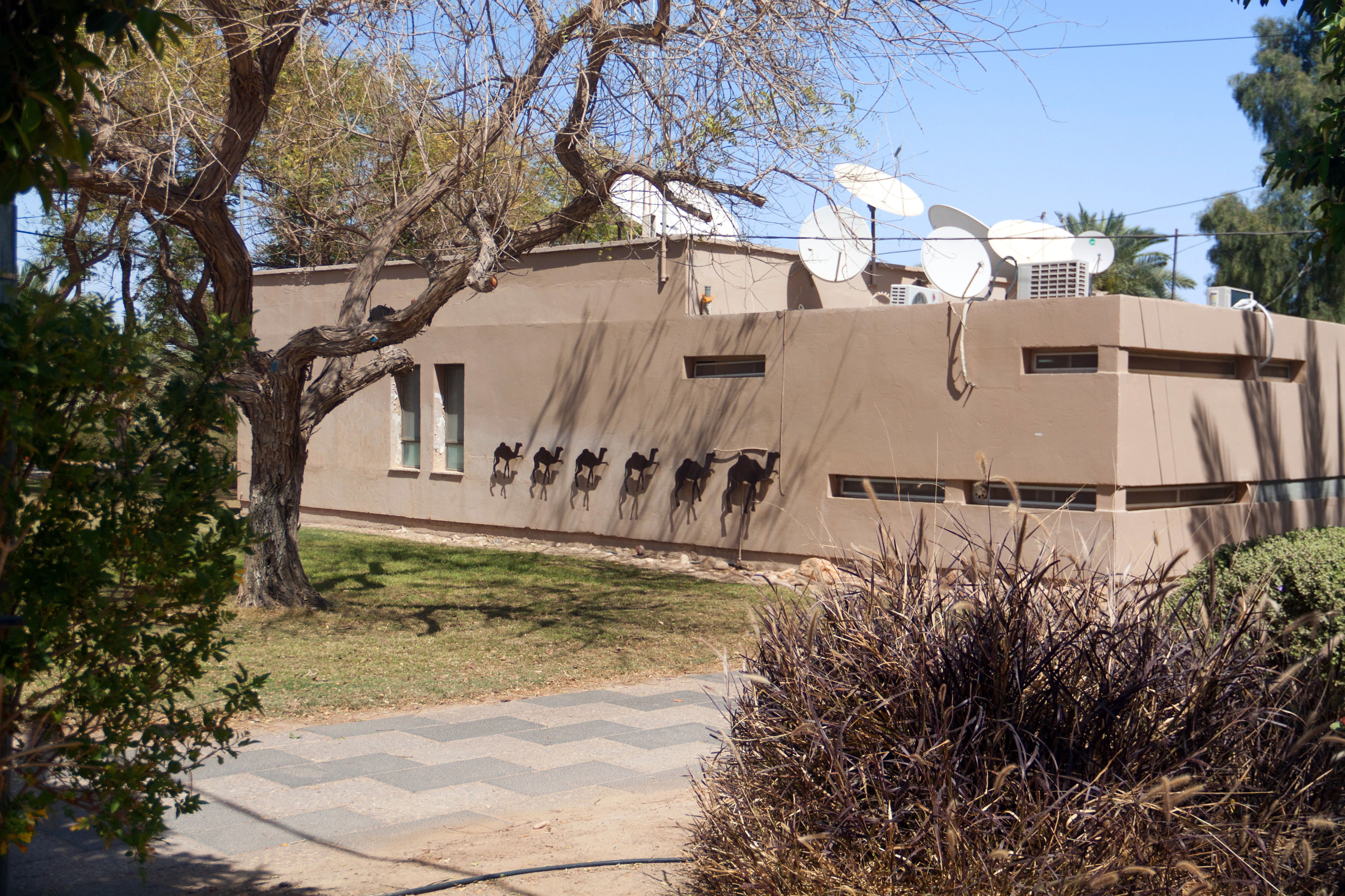
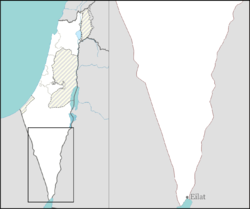
Hatzeva (Hebrew: חֲצֵבָה) is a moshav in southern Israel. Located in the Arava, 12 km north of Ein Yahav, it falls under the jurisdiction of Central Arava Regional Council. In 2019 it had a population of 620.[1]
Hatzeva
חֲצֵבָה حتسيڤا | |
|---|---|
 | |
 Hatzeva  Hatzeva | |
| Coordinates: 30°46′4″N 35°16′49″E | |
| Country | |
| District | Southern |
| Council | Central Arava |
| Affiliation | Moshavim movement |
| Founded | 1968 |
| Population (2019)[1] | 620 |
History
Antiquity
Hatzeva was a fort and caravanserai established beside Ein Hatzeva, a rare water source in the region. It is identified with the biblical site Tamar (1 Kings 9:17-18). According to the Bible, it was a Judean fort, but Edomite idols were also discovered there, now on display at the Israel Museum. In the Nabatean period, Hatzeva was a caravanserai along the northern path of the incense route. Later it became a Roman fort, part of the Roman southern security zone (The ‘Limes’). The Roman Scorpion Ascent that connects Hazteva and Mamshit is believed to date from that time. The site was excavated in the 1980s and yielded finds in six stratified layers.[citation needed]
State of Israel
Hatzeva was founded in 1965 as a Nahal settlement near the Arava Road and became a moshav in 1968. It was named after the nearby Hatzeva Fortress. In 1971 its location changed slightly. Near the moshav's access road lies the Hatzeva field school (Gidron), located where the moshav was until 1971.[2] Hashomer Hachadash is a grassroots movement in Hatzeva established to help Israeli farmers and ranchers safeguard their land.[3]
References
- "Population in the Localities 2019" (XLS). Israel Central Bureau of Statistics. Retrieved 16 August 2020.
- Mapa's concise gazetteer of Israel (in Hebrew). Yuval El'azari (ed.). Tel-Aviv: Mapa Publishing. 2005. p. 192. ISBN 965-7184-34-7.
{{cite book}}: CS1 maint: others (link) - Desert school uses legacy of Israel's farming pioneers to instill values
На других языках
[de] Chazewa
Chazewa (חֲצֵבָה auch חצבה) ist ein Moschaw im Regionalverband HaArawa HaTichona (auch „Zentrale Arawa“) im Südbezirk von Israel. 2018 gab es dort 605 Einwohner.[2] Der im Jahre 1965 gegründete Ort wurde nach der benachbarten früheren Festung Chazewa (מצודת חצבה auch מְצוּדַת חֲצֵבָה) benannt, die laut Jochanan Aronheim (יוחנן אהרונהיים) auch als die Festung Tamar aus dem Buch Hesekiel 47:19 und 48:28 bekannt ist. Die biblische Befestigungsanlage geht auf das 10. Jahrhundert v. Chr. zurück.- [en] Hatzeva
Другой контент может иметь иную лицензию. Перед использованием материалов сайта WikiSort.org внимательно изучите правила лицензирования конкретных элементов наполнения сайта.
WikiSort.org - проект по пересортировке и дополнению контента Википедии