world.wikisort.org - Iran
Gonbad-e Kavus[lower-alpha 1] (Persian: گنبد کاووس, romanized: Gonbade Kâvus) is the Iranian city known historically as Gorgan/Hyrcania. The modern name, meaning "the tower of Kavus", is a reference to the most imposing ancient monument in the city. The historic name cannot now be restored, because it was assigned to the neighboring historical city of Astarabad in the 1930s by the Iranian government. At one point, it was even known as the city of Dashte Gorgan,[2] meaning "the Plains of Gorgan".
Gonbad-e Kavus
گنبد کاووس | |
|---|---|
City | |
 The historical tower of Gonbad-e Qabus | |
 Gonbad-e Kavus | |
| Coordinates: 37°15′00″N 55°10′02″E | |
| Country | Iran |
| Province | Golestān Province |
| County | Gonbad-e Kavus |
| Bakhsh | Central |
| Population (2016 Census) | |
| • Total | 151,910 [1] |
| Time zone | UTC+3:30 (IRST) |
| • Summer (DST) | UTC+4:30 (IRDT) |
| Website | http://gonbadcity.ir |
| Gonbad-e Kavus at GEOnet Names Server | |
It is the capital of Gonbad-e Kavus County, in the province of Golestān in the northeast of Iran. At the 2006 census, its population was 127,167, in 30,710 families.[3]
In the historical times, the city's populations were made up of various Iranic peoples such as the ancient and eponymous Hyrcanians, Parthians and eventually the Khurasani Persians. Today, however, there are no reliable figures for the ethnic make of the city. However, it is agreed that the city has a plurality of its inhabitants being a mix of ethnic Persians, Turkmen, Turkmen remaining population are made Azerbaijanians,[4] Sistani Persians, Baluch and other Iranic peoples.[5]
The city is famous for its historic brick tower of the same name.

Historical attractions
The "Divar-i Gorgan" (Persian for "The Great Wall of Gorgan") is a gigantic defensive wall built in the Sasanian period of Iranian history. The visible remains are about 155 km (96 mi) long and 6–10 m (20–33 ft) wide. It is one of the most outstanding and gigantic architectural monuments in northeast Iran and the most impressive in the Golestan Province. This wall, which is the largest defensive wall in the world after the Great Wall of China, starts from the Caspian sea coast, circles north of the city of Gonbad-e Kāvus, continues towards the northeast, and vanishes into the Pishkamar Mountains.
At certain points, the Divar is 6 m (20 ft) wide and in other parts the width is 10 m (33 ft), depending on the nature of the land and the soil type. Watch towers and forts had been built at different distances. The longest distance between forts is 50 km (31 mi) and the shortest is 10 km (6.2 mi). The 40 identified forts vary in dimension and shape but the majority are square fortresses. Due to many difficulties in development and agricultural projects, archaeologists have been assigned to mark the boundary of the historical find by laying cement blocks.
The Divar defensive wall has also been known variously as Alexander Dam, Anushirvân Dam, Firuz Dam and Golestan's Defense Wall in various historical texts.
Dr. Kiani, who led the archaeological team in 1971, believes that the wall was built during the Parthian dynasty, simultaneously with the construction of the Great Wall of China, and that it was restored during the Sassanid era (3rd to 7th centuries AD).[citation needed]
Neolithic period
During the Neolithic period, this area had many populated settlements. For example, Yarim Tepe (Iran). The Jeitun culture started before 6000 BC.
Natural attractions
- Aji gol Lake
- Ala gol lake
- Alma Gol Lake
- Chehelchay Forest
- Golestan Forest
- Gonbad Horse Racing Center
Colleges and universities
- Gonbad Kavous University
- Islamic Azad University of Gonbad
- Payamnoor University of Gonbad[6]
Notable people
- Sardar Azmoun
- Farhad Ghaemi
- Parham Maghsoodloo
- Magtymguly Pyragy
- Shahpour Turkian
- Mohsen Yeganeh
See also
- Decagon
- Iranian Turkmen
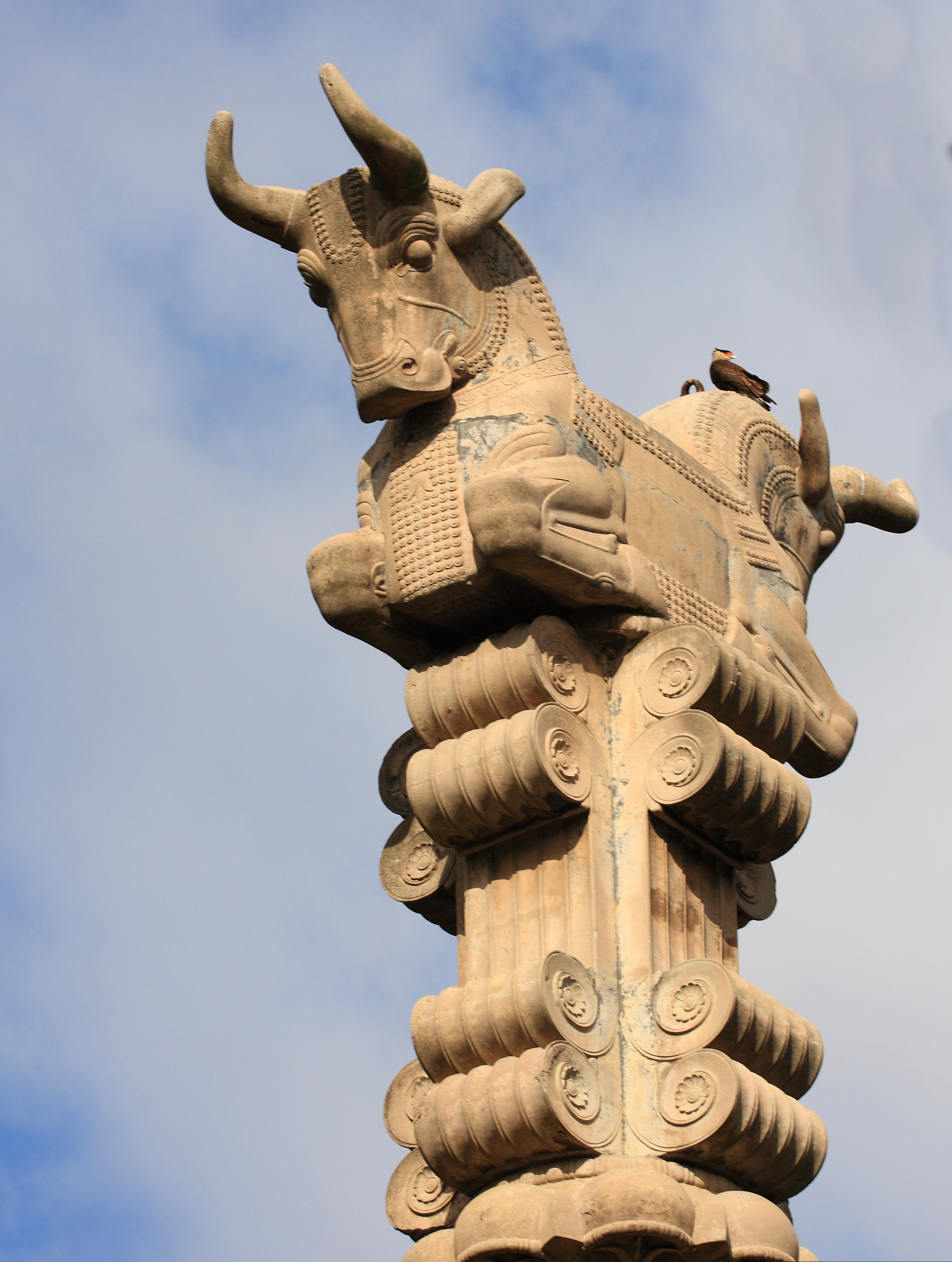
- Iranian Art Museum Garden, which includes a replica of the Gonbad-e Kavus tower.
Notes
- also referred to as Gonbad-e Kāvus, Gonbad-i Kāvoos, Gonbadekavoos, Gonbad-e Kāvūs, Gonbad Qābūs, Gonbad Qavoos, Gunbad-i-Kāwās, Gunbad-i-Kāwūs, Gonbæde Kavus, Günbədkavus, and Gunbad-i-Kāvūs
References
- "Statistical Center of Iran > Home". www.amar.org.ir.
- Gonbad-e Kavus can be found at GEOnet Names Server, at this link, by opening the Advanced Search box, entering "-3064799" in the "Unique Feature Id" form, and clicking on "Search Database".
- "Census of the Islamic Republic of Iran, 1385 (2006)" (Excel). Statistical Center of Iran. Archived from the original on 2011-11-11.
- Golestannma
- "شهرداری گنبد کاووس". gonbadcity.ir.
- "IIS7". Archived from the original on 2017-06-15. Retrieved 2019-12-31.
External links
![]() Media related to Gonbad-e Kavus at Wikimedia Commons
Media related to Gonbad-e Kavus at Wikimedia Commons
Iranian architecture | ||||||||
|---|---|---|---|---|---|---|---|---|
| Styles |
|  | ||||||
| Types |
| |||||||
| Elements |
| |||||||
| Traditional cities | ||||||||
| Theory and analysis |
| |||||||
| Lists |
| |||||||
| Capital |  | ||||||||||||||||||||||||||
|---|---|---|---|---|---|---|---|---|---|---|---|---|---|---|---|---|---|---|---|---|---|---|---|---|---|---|---|
| Counties and cities |
| ||||||||||||||||||||||||||
| Sights |
| ||||||||||||||||||||||||||
| populated places |
| ||||||||||||||||||||||||||
Authority control | |
|---|---|
| General |
|
| National libraries | |
| Other |
|
На других языках
- [en] Gonbad-e Kavus
[ru] Гомбеде-Кавус
Гомбеде-Кавус[1] (Гомбеде-Кабус[2], Гунбеде-Кабус[3], Гонбад-э-Габус; Гомбадэ-Кавус, перс. گنبد کابوس - гомбáд-е кабýс - купол приведения) — город в северо-восточном Иране, в провинции Голестан. Расположен в бассейне реки Горган, на высоте 52 метров над уровнем моря[4]. На 2006 год население составляло 127 167 человек[5]. Основное занятие горожан — субтропическое сельское хозяйство, ковроткачество и скотоводство.Другой контент может иметь иную лицензию. Перед использованием материалов сайта WikiSort.org внимательно изучите правила лицензирования конкретных элементов наполнения сайта.
WikiSort.org - проект по пересортировке и дополнению контента Википедии