world.wikisort.org - India
Thirthahalli is a panchayat town located in the Shimoga district of the state of Karnataka, India. It lies on the bank of the river Tunga and is also the headquarters of the Thirthahalli Taluk of Shimoga district.
This article possibly contains original research. (June 2018) |
Thirthahalli | |
|---|---|
Taluk | |
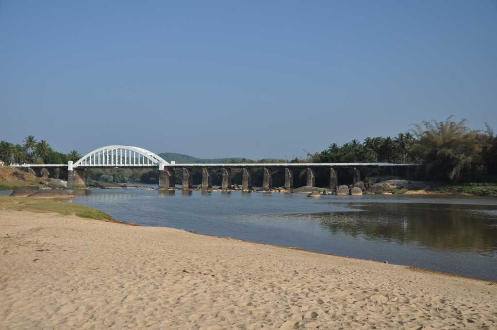
 Tunga Bridge with Lightings during Theppotsava | |
 Thirthahalli Location in Karnataka, India | |
| Coordinates: 13.690°N 75.245°E | |
| Country | |
| State | Karnataka |
| District | Shimoga district |
| Region | Malenadu |
| Government | |
| • MLA | Araga Jnanendra |
| Area | |
| • Total | 5.91 km2 (2.28 sq mi) |
| Elevation 566 | 591 m (1,939 ft) |
| Population (2011[1]) | |
| • Total | 14,357 |
| • Density | 2,400/km2 (6,300/sq mi) |
| Languages | |
| • Official | Kannada |
| Languages | |
| Time zone | UTC+5:30 (IST) |
| PIN | 577 432 |
| Telephone code | 08181 |
| Vehicle registration | KA-14 |
| Website | www |
Geography
Thirthahalli is located at 13.7°N 75.23°E.[2] It has an average elevation of 591 metres (1938 feet). The Tirthahalli Town Panchayat has population of 14,528 of which 7,093 are males while 7,435 are females as per report released by Census India 2011.
Languages
The majority of people speak Kannada. There are also a sizeable number of Tulu speakers in this region.
Notable people
- Kuvempu - Kannada author and poet, Jnanapeetha and Padma Vibhushan awardee
- Shantaveri Gopala Gowda - Socialist Leader and Politician.
- U. R. Ananthamurthy- Contemporary writer, Novelist and critic, Jnanapeetha and Padma Bhushan awardee.
- Kadidal Manjappa- Politician and former Chief Minister of Karnataka
- Justice. M Rama Jois - Advocate and Chief Justice, Former Governor of Jharkhand and Bihar
- M. K. Indira, Kannada Novelist.
- Poornachandra Tejaswi- writer, environmentalist and son of kuvempu.
- Anupama Niranjana- Novelist
- Girish Kasaravalli- Multiple award-winning Kannada Film Director, Padmashri awardee.
- Kimmane Rathnakar- Politician and former minister of Legislative assembly
- Araga Jnanendra- Home Minister of Karnataka and former chairman of Mysore Paper Mills.
- Kaviraj (lyricist)- Poet, lyricist, director in Kannada film industry
- Diganth-Kannada film actor
Education institutions
- Tunga Mahavidyalaya
- Sahyadri Polytechnic
- Sevabharathi Higher Primary School
References
External links
Wikimedia Commons has media related to Thirthahalli.
Authority control | |
|---|---|
| General |
|
| National libraries | |
Текст в блоке "Читать" взят с сайта "Википедия" и доступен по лицензии Creative Commons Attribution-ShareAlike; в отдельных случаях могут действовать дополнительные условия.
Другой контент может иметь иную лицензию. Перед использованием материалов сайта WikiSort.org внимательно изучите правила лицензирования конкретных элементов наполнения сайта.
Другой контент может иметь иную лицензию. Перед использованием материалов сайта WikiSort.org внимательно изучите правила лицензирования конкретных элементов наполнения сайта.
2019-2026
WikiSort.org - проект по пересортировке и дополнению контента Википедии
WikiSort.org - проект по пересортировке и дополнению контента Википедии