world.wikisort.org - India
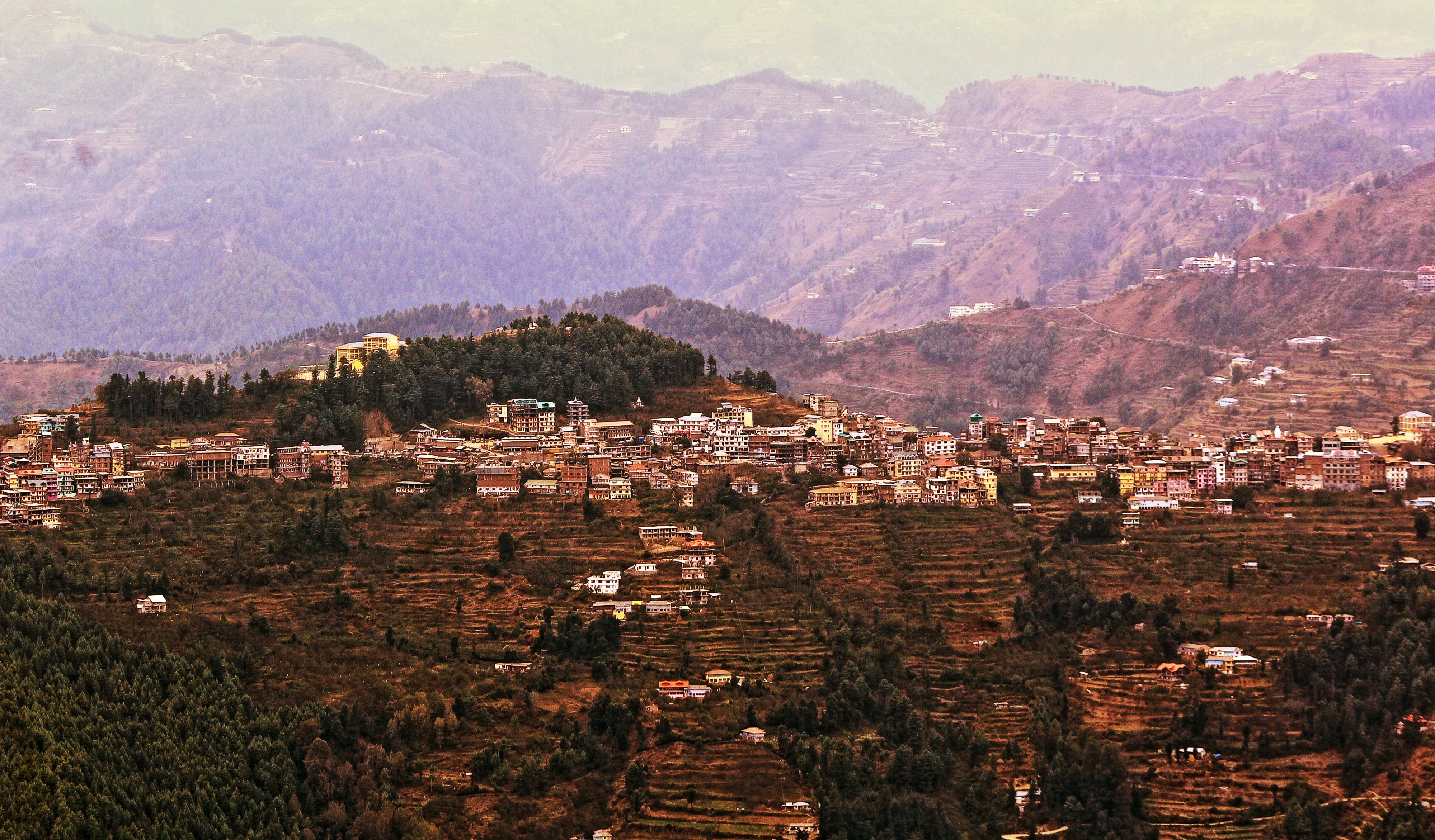
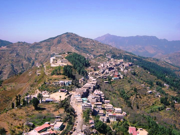
Theog is a town and a municipal committee as well as a tehsil in Shimla district in the Indian state of Himachal Pradesh. It's just 26 km from state capital Shimla. First settlements were in 1902.[1]
Theog | |
|---|---|
Town | |
 | |
 Theog Location in Himachal Pradesh, India  Theog Theog (India) | |
| Coordinates: 31.12°N 77.35°E | |
| Country | India |
| State | Himachal Pradesh |
| District | Shimla |
| Government | |
| • MLA | Rakesh Singha |
| Elevation | 2,310 m (7,580 ft) |
| Population (2011) | |
| • Total | 4,353 |
| Languages | |
| • Official | Hindi |
| Time zone | UTC+5:30 (IST) |
| PIN | 171201 |
| Telephone code | 91 1783 xxxxxx |
| Vehicle registration | HP-09 |
Demographics/History
As of 2001[update] India census,[2] Theog had a population of 3,754. Males constitute 57% of the population and females 43%. Theog has an average literacy rate of 64%, : male literacy is 73%, and female literacy is 56%. In Theog, 12% of the population is under 6 years of age. According to the census of 1931, the total population of Theog state was 6912; there were 6800 Hindus, 91 muslims and 21 Sikhs in Theog State in 1931.[3]
The Chandel rulers of Theog share a common line of descent with the founders of Ghund clan and Dharampur Madhan, clan who were all together sons of a Chandel Rajput of Jaipur. The state was made subordinate to Keonthal Estate by a sanad of September 1815.
Theog was Ziladari of CHANDEL Clan
Geography
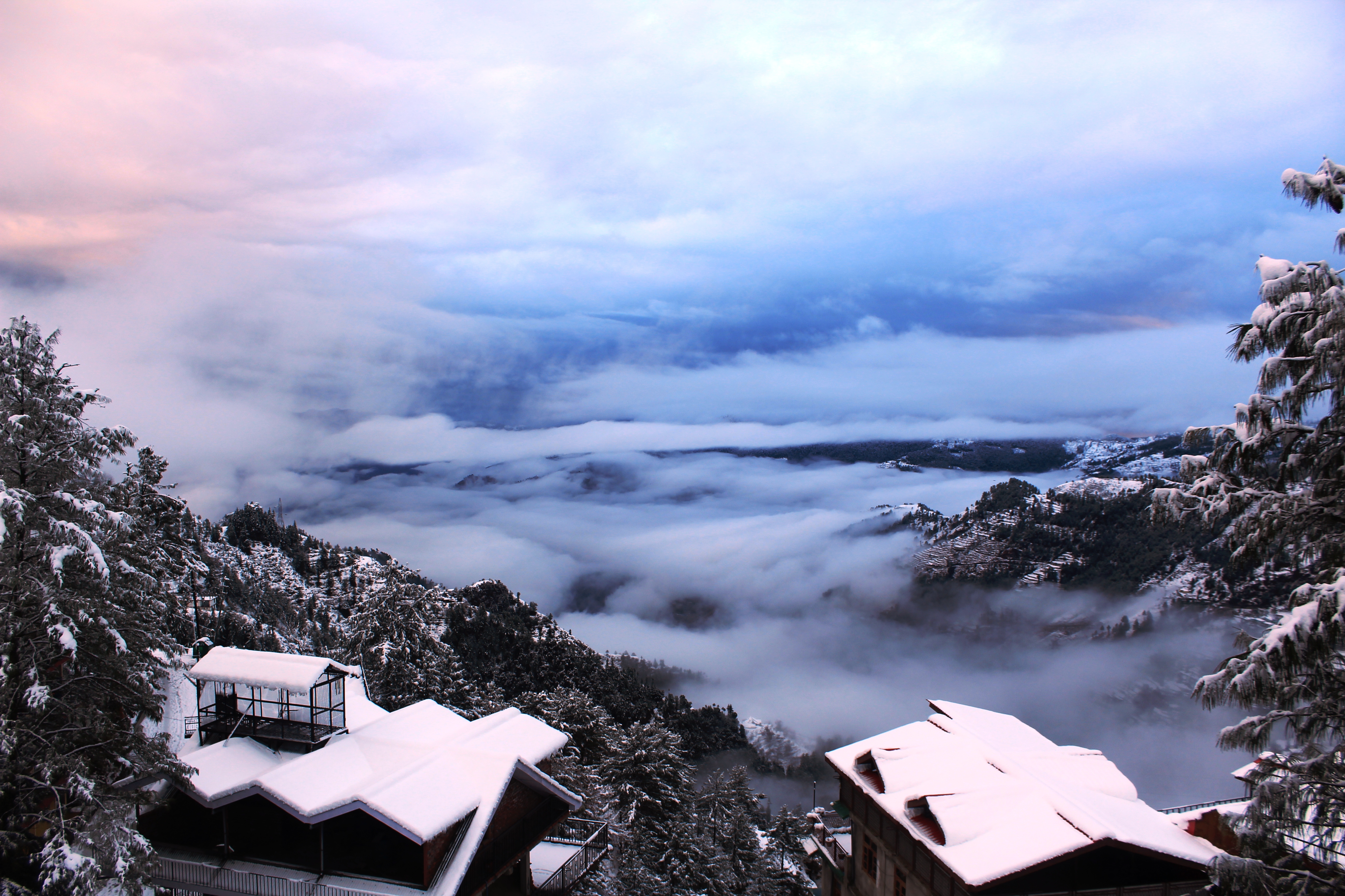
Theog is located at 31.12°N 77.35°E.[4] It has an average elevation of 1965 metres (6446 feet). It is situated on National Highway NH22 (on the Hindustan-Tibet Road), is 32 km away from Shimla, and is a town of five 'Ghats' (or ridges): Rahi Ghat, Deori Ghat, Prem Ghat, Janoghat, and Bagaghat.
There are numerous villages which come under the jurisdiction of Theog.
Villages
- Jaiee
Transport
Theog is well connected to Himachal and rest of India through National Highway 5 and National Highway 705.[5] theog is 45 km from Shimla airport and 32 km from Shimla railway station
See also
- Theog-Kumarsain (Vidhan Sabha constituency)
References
- Punjab State Gazetteers: pt. A. Simla Hill States. Punjab: Superintendent, Government Printing, 1935. 1935. p. 27.
- "Census of India 2001: Data from the 2001 Census, including cities, villages and towns (Provisional)". Census Commission of India. Archived from the original on 16 June 2004. Retrieved 1 November 2008.
- Punjab State Gazetteers: pt. A. Simla Hill States. Superintendent, Government Printing, 1935 - Punjab (India). 1935. p. 24.
- Falling Rain Genomics, Inc - Theog
- "National Highways in Himachal Pradesh" (PDF). Himachal Pradesh Public Works Department. Retrieved 23 May 2018.
External links
Authority control | |
|---|---|
| General |
|
| National libraries | |
Другой контент может иметь иную лицензию. Перед использованием материалов сайта WikiSort.org внимательно изучите правила лицензирования конкретных элементов наполнения сайта.
WikiSort.org - проект по пересортировке и дополнению контента Википедии