world.wikisort.org - India
Pothukallu (Pothukal) is located between Palunda and Munderi (9.0 km from Palunda in the Nilambur Taluk of Malappuram District).[1] Pothukallu is well known for its greenery, hospitality of the natives, and availability of all basic amenities, including schools, hospitals, shopping centers etc. There is a police station,forest station, mosque, church, and temple at nearby locations. Pothukallu is located at the boundary of three districts namely, Wayanad and Malappuram of Kerala state and The Nilgiris of Tamil Nadu.
Pothukallu
Pothukallu | |
|---|---|
Town | |
 Thampurattikkallu Temple | |
| Coordinates: 11.40566°N 76.25224°E | |
| Country | |
| State | Kerala |
| District | Malappuram |

Administration
State : Kerala
District : Malappuram
Taluk : Nilambur
Local Body : Pothukallu Grama Panchayath
Parliament constituency : Wayanad
Member of Parliament : Rahul Gandhi
Legislative Assembly: Nilambur
Member of Legislative Assembly : P V Anwar
Sub RTO : Nilambur (KL 71)
Nearest Cities: Edakkara, Chungathara, Nilambur
Area Telephone Code: 04931
Postal Code: 679334
Culture
Pothukallu village is one of the most beautiful places in Malappuram district. People from all communities live with cooperation and unity. The area was part of Nilambur Kovilakam before independence.
Naxalite threat
In November, 2016, three naxalites were killed near Karulai in an encounter with Kerala police. Naxalite leader Kappu Devaraj from Andhra Pradesh is included in the list of killed in the incident.[2] Villages like Mundakkadavu, Kalkullam and Uchakkulam near Karulai are threatened by Naxalite attacks. Naxalites visit the locality regularly and ask for food and shelter from the tribals. The police are also combing the area regularly but have not arrested any naxalites. On 27 September 2016, there was firing between the Maoists and the Kerala police in this area and no one was injured in this incident.[3]
Transportation
Pothukallu village connects to other parts of India through Nilambur town. The proposed Hill highway SH 59 (Nandarapadavu in Kasargod to Parassala in Thiruvananthapuram via Meppadi) is passing through Pothukallu. State Highway SH 28(Kozhikode- Nilambur - Gudallur Road) starts from Ramanattukara passes through Nilambur and connects to Ooty, Mysore and Bangalore. National highway NH 66 passes through Ramanattukara connects to Kannur, Goa and Mumbai. Nilambur- Valancheri road SH 73 connects Nilambur to Perinthalmanna in shortest distance. Nilambur- Perumbilavu SH 39 connects to Thrissur, Kottayam, Ernakulam and Thiruvananthapuram via Perinthalmanna. The nearest airport is at Kozhikode. The nearest major railway station is Nilambur Road.
Nearest Medical College : Manjeri Govt. Medical College
Nearest District Hospital : Nilambur Govt. District Hospital
Nearest Checkpost: Vazhikkadavu
Nearest KSRTC Bus station : Nilambur
Pothukallu is accessible by road from Nilambur Town. The distance is 20 km.
- Nilambur to Chungathara: 9 km
- Chungathara to Pothukallu: 11 km
- Pothukallu to Munderi: 8 km
Villages and Suburbs
- Uppada, Anakkallu, Paduanagar
- Muthukulam and Nettikkulam, Pothukallu
- Kunippala, Velumbiyampadam, Ampittanpotti, Neerpuzha mukkam,Sattharumpadi
- Thamburattikallu, Munderi
- Bhoodan colony, Panakayam
- Kodalipoyil, Chembankolly
- Kavalappara, Santhigram, Vellimuttam
Important Landmarks
- Catholicate HSS, Pothukallu
- Pothukallu Gramapanchayath
- Pothukallu Village office
- Pothukallu KSFE
- Pothukallu Bus stand
- Pothukallu KSEB Section
- Pothukallu PHC
- Dharmasastha Temple, Thamburattikkallu
- Farm Club, Bhoodhanam Colony, Pothukallu
- Assembly of God Church, Pothukallu
- S.N.Guru Seva Mandir, Nettikullam
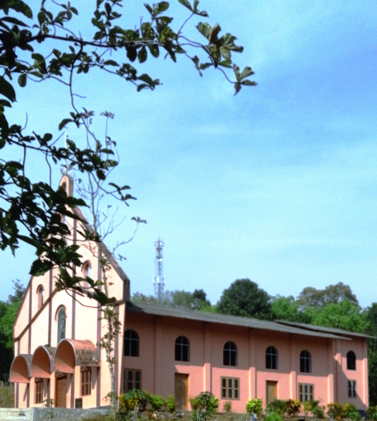
- St.Mary's Catholic Church, Pathirippadam
- Chathamunda Masjidh, Chathamunda
- NSS School, Uppada
- St. Paul's Malankara Catholic Church, Uppada
- New Holy Bible College, Palunda
- A L P School, Boodan colony
- Post Office, Bhoodan colony
- Siva Temple, Santhigram
- St.Marys orthodox church, Muthukulam
- MKMM LPS Velumbiyampadam
- Nirmala HSS Erumamunda
- Pothukal Forest Station,Kunipala
References
- "പോത്തുകല്ല് ഗ്രാമപഞ്ചായത്ത് (Pothukallu Grama Panchayat)". lsgkerala.in. Archived from the original on 30 November 2013.
- "NILAMBUR, maoist നിലമ്പൂര് ഏറ്റുമുട്ടല്: കൊല്ലപ്പെട്ടവരില് മാവോവാദി നേതാവും-Mathrubhumi Kerala News, Latest Kerala News, Kerala Breaking News, Kerala Politics". www.mathrubhumi.com. Archived from the original on 24 November 2016.
- "Nilampoor മുണ്ടക്കടവില് ആദ്യവെടി ഞങ്ങളുടേത് തന്നെയെന്ന് മാവോവാദികള്". www.mathrubhumi.com. Archived from the original on 1 October 2016.
Другой контент может иметь иную лицензию. Перед использованием материалов сайта WikiSort.org внимательно изучите правила лицензирования конкретных элементов наполнения сайта.
WikiSort.org - проект по пересортировке и дополнению контента Википедии