world.wikisort.org - India
Naldurg is a town and a municipal council in Osmanabad district in the Indian state of Maharashtra.
This article has multiple issues. Please help improve it or discuss these issues on the talk page. (Learn how and when to remove these template messages)
|
Naldurg | |
|---|---|
town | |
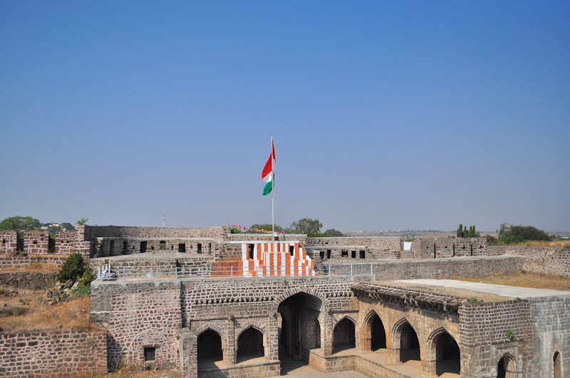 Hulmukh Darwaza, Naldurg fort | |
 Naldurg Location in Maharashtra, India | |
| Coordinates: 17.82°N 76.3°E | |
| Country | |
| State | Maharashtra |
| District | Osmanabad |
| Elevation | 566 m (1,857 ft) |
| Population (2011) | |
| • Total | 18,341[1] |
| Languages | |
| • Official | Marathi |
| Time zone | UTC+5:30 (IST) |
| Sex ratio | 52%/48% ♂/♀ |
Geography
Naldurg is located at 17.82°N 76.3°E, 438 km from Mumbai.50 km from Solapur city[2] It has an area of 7550 km² and average elevation of 566 metres (1856 feet). The temperature ranges from 10.1 °C to 43.1 °C, and the average yearly rainfall is 760mm.
Demographics
As of 2011[update] India census,[3] Naldurg had a population of 18,341. Males constitute 52% of the population and females 48%. Naldurg has an average literacy rate of 84.10%, higher than the state average of 82.34%. Male literacy is 90%, and female literacy is 78%. In Naldurg, 15% of the population is under 6 years of age.[1] Schedule Caste (SC) constitutes 11.61% while Schedule Tribe (ST) were 0.95% of total population in Naldurg.[1]
See also
- Naldurg Fort
References
- "Naldurg City Population". census 2011. Retrieved 19 July 2015.
- Falling Rain Genomics, Inc – Naldurg
- "Census of India 2001: Data from the 2001 Census, including cities, villages and towns (Provisional)". Census Commission of India. Archived from the original on 16 June 2004. Retrieved 1 November 2008.
На других языках
[de] Naldurg
Naldurg (Marathi: .mw-parser-output .Deva{font-size:120%}@media all and (min-width:800px){.mw-parser-output .Deva{font-size:calc(120% - ((100vw - 800px)/80))}}@media all and (min-width:1000px){.mw-parser-output .Deva{font-size:100%}}नळदुर्ग) ist eine Stadt (municipal council) mit etwa 25.000 Einwohnern im Distrikt Osmanabad im indischen Bundesstaat Maharashtra.- [en] Naldurg
Другой контент может иметь иную лицензию. Перед использованием материалов сайта WikiSort.org внимательно изучите правила лицензирования конкретных элементов наполнения сайта.
WikiSort.org - проект по пересортировке и дополнению контента Википедии