world.wikisort.org - India
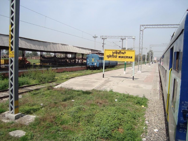
Mukerian is a city and municipal council of Hoshiarpur district in Punjab, India. Mukerian is located on National Highway 44 and state highway 15 about 450 kilometres (280 mi) north of New Delhi.It is a Sub-district headquarters situated on Jalandhar-jammu railway line and is connected by road with Jalandhar, Hoshiarpur, Talwara, Gurdaspur and Pathankot. National Highway-44 also passes through here.
This article needs additional citations for verification. (October 2020) |
Mukerian
The City of Gardens | |
|---|---|
City | |
 Mukerian Location in Punjab, India | |
| Coordinates: 31.95°N 75.62°E | |
| Country | |
| State | Punjab |
| District | Hoshiarpur |
| Government | |
| • Type | Democratic |
| Area | |
| • Total | 75 km2 (29 sq mi) |
| Elevation | 257 m (843 ft) |
| Population (2011)[1] | |
| • Total | 129,841 |
| • Density | 1,700/km2 (4,500/sq mi) |
| Time zone | UTC+5:30 (IST) |
| PIN | 144211 |
| Telephone code | +01883 |
| Vehicle registration | PB54 |
| Website | mcmukerian.com |

Geography
Mukerian is located at 31.95°N 75.62°E.[2] It has an average elevation of 245 metres (804 ft).
Demographics
The Mukerian Municipal Council has population of 129,841 In Mukerian Municipal Council, Female Sex Ratio is of 921 against state average of 895. Moreover Child Sex Ratio in Mukerian is around 802 compared to Punjab state average of 846. Literacy rate of Mukerian city is 88.07 % higher than state average of 75.84 %. In Mukerian, Male literacy is around 90.31 % while female literacy rate is 85.68 %.
History
The Mukerian city is a marks the easternmost border of Alexander the Great's conquests in 326 BCE at banks of bias river. It was one of the area which created problems in Alexander's invasion of India. His troops mutinied here in 326 BCE, refusing to go any further; {from refusing by army troops of Alexander’s force the name of the city mukria (refuse) to Mukerian} they had been away from home for eight years. Alexander shut himself in his tent for three days, but when his men did not change their desires he gave in, raising twelve colossal altars to mark the limit and glory of his expedition.
And other history about the name of city is the Local tradition goes that Chaudhry Dara Khan of Awan Caste in 1216 A. D founded Mukerian. Another tradition relates that the city was named after one Mukeria Kalal and with the passage of time it was corrupted to Mukerian.Its also mention that Jarral Rajputs Defeat Awans in 17th Century & Built 14 Villages.Raja Veer Singhs Samadhi Also Known As Baba Shaheed in Jandwal,Mukerian.
The city was enlarged and improved about 1768 by Sardar Jai Singh Kanhaya, who held possession of it. His daughter-in-law was Mai Sada Kaur whose daughter, Mehtab Kaur was married to maharaja Ranjit Singh. This union gave Ranjit Singh the co-operation of the Kanhaya enabled him to consolidate his power. Maharaja Ranjit Singh is said to have acquired the neighbouring fort of Atalgarh in 1819, now in ruins. A gurdwara has been erected on the ruins of the fort. In between the gurdwara and railway line, there is a baradari, which is in dilapidated condition. Maharani Mehtab Kaur gave birth to Ranjit Singh's son, Sher Singh here, who afterwards became Maharaja.
Education
Education Institutions in Mukerian Area:
- Anglo-Sanskrit Senior Secondary School, Mukerian
- Sri Guru Gobind Singh Public School, Beghpur Kamlooh
- Dashmesh Public School, Chak ala Baksh
- Victoria International School, Mukerian
- Army Public School, Unchi Bassi
- Springdales Public School
- Woodbury World School,.Piru chak
- C.D Gurukul International school
- Cambridge Overseas School, Mukerian
ICSE affiliated schools
- The Sovereign School, Mansar
- St. Augustine School, Pandori
- St. Joseph's Convent School, Mukerian
Degree colleges
- Dashmesh Girls' College, Chak ala baksh
- S.P.N. College, Mukerian
Engineering college
S.B.C.M.S. Institute Of Technology
Polytechnic college
Brahm Kamal Polytechnic College
Points of interest
Mukerian Hydel Project is one of the biggest irrigation projects in India. The Pong Dam across the River Beas is about 35 kilometres (22 mi) from Mukerian.
Mukerian is located on National Highway 44 and state highway 15 about 450 kilometres (280 mi) north of New Delhi.
A Lord Shiva temple is in the village of Kathgarh, Mirthal, about 20 kilometres (12 mi) from Mukerian city. There is a natural shivling in the temple.
There is another temple Dera Baba Kanaiya Gir Ji Maharaj located 7 kilometres (4.3 mi) from Mukerian in the village of Harsa Kalota, known by the saint Baba Kanaiya Gir Ji (Baba Bohran Wale).
A Gurudwara Sahib is located in the village Manjpur, about 10 kilometers away from Mukerian city. Budhabarh is the 2nd largest town in the Mukerian area
Medical facilities
- Civil Hospital
- Swami Premanand Charitable Hospital
- Dr.Kamaljit Neuro-Psychiatry Hospital, De-addiction and MRI Centre.
- Jhanjee hospital
- Pranav Multispeciality Hospital
- Dogra Hospital Multispeciality and Trauma Care Center
- Sanjeevani Hospital
- Narendera's Hospital
- Lifecare Hospital
- Dawinder Hospital & Heart Care
- SAINI EYE HOSPITAL
- Gautam Eye Hospital
- Apex Hospital
- Chaudhary gynae hospital
- SS MEDICITY TALWARA ROAD
References
- "Census of India Search details". censusindia.gov.in. Retrieved 10 May 2015.
- Falling Rain Genomics, Inc – Mukerian
Другой контент может иметь иную лицензию. Перед использованием материалов сайта WikiSort.org внимательно изучите правила лицензирования конкретных элементов наполнения сайта.
WikiSort.org - проект по пересортировке и дополнению контента Википедии