world.wikisort.org - India
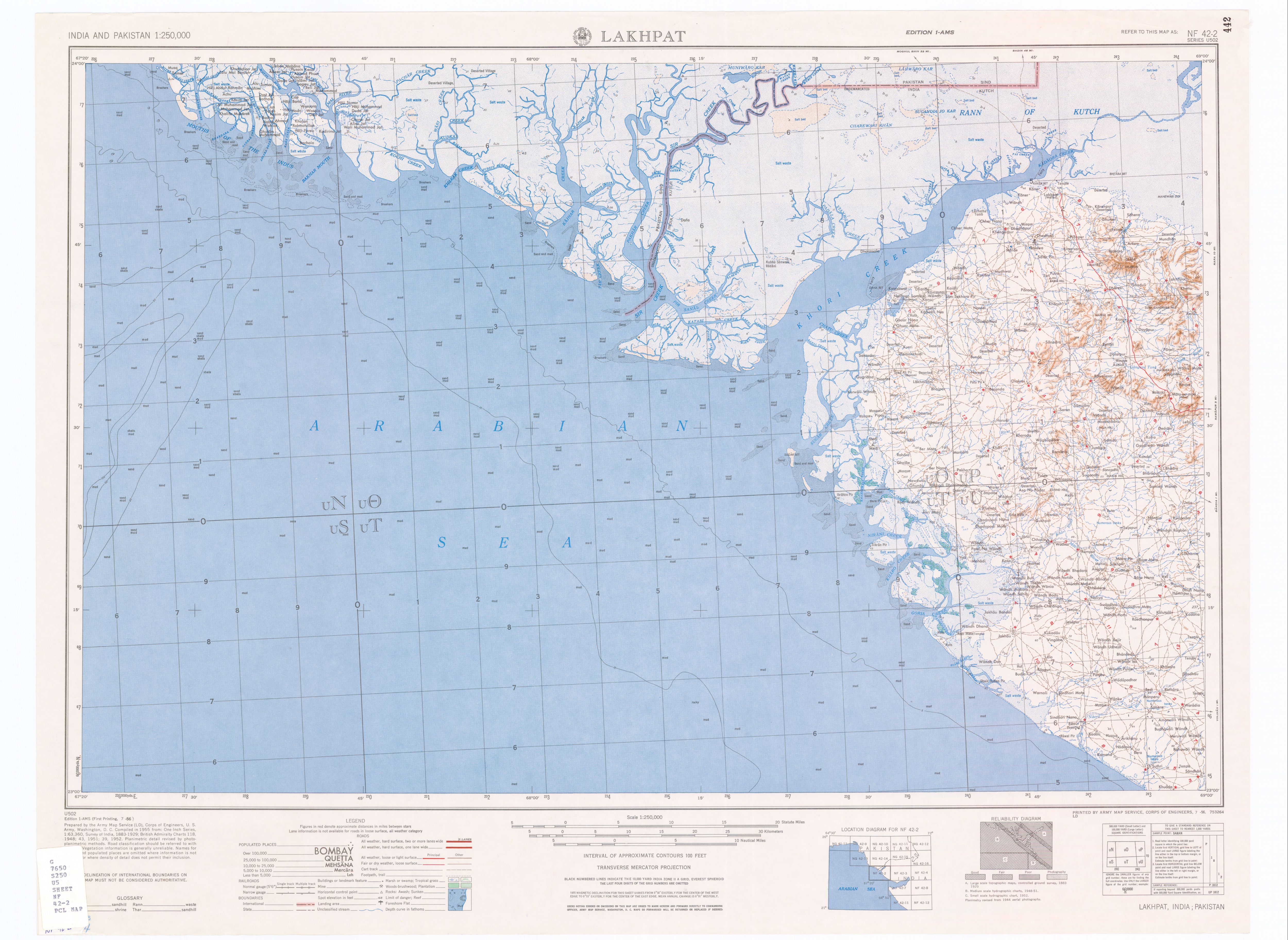
Ber Moti is a village in Gujarat, western India. Administratively, it is under Abdasa Taluka, Kutch District, of Gujarat.[3] The Golay River, an intermittent stream, runs just east of the village. There is an old fort, Maniyara Fort, on the hill (68 m) across the river to the east of the village, on the highest point, 2 km east-northeast of the village center.[1] There is a smaller old fort on the rise just next (500 m) to the village. Ber Moti is 39 km by road northwest of Naliya, the taluka headquarters.
Ber Moti
Bermoti, Ber Moto, Moti Ber Motibar, Motiber | |
|---|---|
village | |
 Ber Moti Location in Gujarat, India  Ber Moti Ber Moti (India) | |
| Coordinates: 23°27′59″N 68°35′57″E | |
| Country | |
| State | Gujarat |
| District | Kutch (Kachchh) |
| Taluka | Abdasa |
| Government | |
| • Body | Gram Panchayat |
| Elevation | 50 m (160 ft) |
| Population (2001) | |
| • Total | 515 |
| Languages | |
| • Official | Gujarati, Hindi |
| Time zone | UTC+5:30 (IST) |
| PIN | 370511 |
| Vehicle registration | GJ |
| Lok Sabha constituency | Kachchh |
| Vidhan Sabha constituency | Abdasa[2] |
| Website | gujaratindia |
Demographics
In the 2001 census, the village of Ber Moti had 515 inhabitants, with 271 males (52.6%) and 244 females (47.4%), for a gender ratio of 900 females per thousand males.[4]
Notes
- Lakhpat, India, Sheet NF 42-2 (topographic map, scale 1:250,000), Series U-502, United States Army Map Service, July 1956
- "Assembly Constituencies-Post delimitation, State: Gujarat, District: Ahmadabad" (PDF). National Information Centre, Government of India. Archived from the original (PDF) on 24 December 2012.
- "Villages of Abdasa Taluka". Kutch District. Archived from the original on 7 July 2012.
- "Census 2001 Population Finder: Gujarat: Kachchh: Abdasa: Ber Moti". Office of The Registrar General & Census Commissioner, Ministry of Home Affairs, Government of India. Archived from the original on 3 June 2013. Retrieved 3 June 2013.
This article about a location in Kutch district, Gujarat, India is a stub. You can help Wikipedia by expanding it. |
Другой контент может иметь иную лицензию. Перед использованием материалов сайта WikiSort.org внимательно изучите правила лицензирования конкретных элементов наполнения сайта.
WikiSort.org - проект по пересортировке и дополнению контента Википедии