world.wikisort.org - India
Anicadu is a village around 4 km from Mallapally town. It belongs to the Pathanamthitta District.
This article needs additional citations for verification. (January 2018) |
Anicadu
Aanikkadu/Aanicadu | |
|---|---|
Village | |
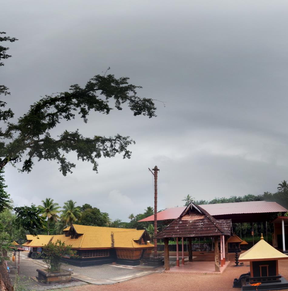
 Anicadu Location in Kerala, India  Anicadu Anicadu (India) | |
| Coordinates: 9.4741300°N 76.6770780°E | |
| Country | |
| State | Kerala |
| District | Pathanamthitta |
| Area | |
| • Total | 19.04 km2 (7.35 sq mi) |
| Population | |
| • Total | 14,140 |
| • Density | 743/km2 (1,920/sq mi) |
| Languages | |
| • Official | Malayalam, English |
| Time zone | UTC+5:30 (IST) |
| PIN | 689589 |
| Telephone code | 0469 |
| Vehicle registration | KL-28 |
| Nearest city | Thiruvalla |
| Sex ratio | 1000:1038 ♂/♀ |
| Literacy | 95.31% |
| Lok Sabha constituency | Thiruvalla |
| Website | lsgkerala |
Overview
Mallapally is the nearest town. Nedumkunnam is around 5 kilometres (3.1 mi) from this village. Karukachal is 7 kilometres (4.3 mi), Kottayam 26 kilometres (16 mi) and Thiruvalla 19 kilometres (12 mi) from this village. Nooromave is the capital area and major business hub of this village.
The river Manimalayar passes through this village. There is a "kadavu" called Kavanal Kadavu in Pullukuthy.
Anicadu receives most of its income from rubber tree plantations and money remitted from Arabian countries by NRI Anicadans.
Churches

- Arohana Marthoma Church, Anicadu, Pullukuthy[1]
- St. Peter's & St Paul's Orthodox Church, Pathicadu.[2][3]
References
- "Arohana MTYS - Official Website of Arohana Marthoma Yuvajana Sakhyam, Anicadu". 14 September 2017. Archived from the original on 14 September 2017. Retrieved 30 January 2018.
- "St. Peter's & St. Paul's Orthodox church Pathicad". 19 August 2013. Archived from the original on 19 August 2013. Retrieved 30 January 2018.
- "St.Peter's & St.Paul's Orthodox Church Pathicadu". 25 September 2017. Archived from the original on 25 September 2017. Retrieved 30 January 2018.
| Wikimedia Commons has media related to Anicadu. |
Текст в блоке "Читать" взят с сайта "Википедия" и доступен по лицензии Creative Commons Attribution-ShareAlike; в отдельных случаях могут действовать дополнительные условия.
Другой контент может иметь иную лицензию. Перед использованием материалов сайта WikiSort.org внимательно изучите правила лицензирования конкретных элементов наполнения сайта.
Другой контент может иметь иную лицензию. Перед использованием материалов сайта WikiSort.org внимательно изучите правила лицензирования конкретных элементов наполнения сайта.
2019-2026
WikiSort.org - проект по пересортировке и дополнению контента Википедии
WikiSort.org - проект по пересортировке и дополнению контента Википедии