world.wikisort.org - Germany
Bad Saarow (Lower Sorbian: Zarow) is a municipality in the Oder-Spree district, in Brandenburg, Germany.
Bad Saarow | |
|---|---|
Municipality | |
 Bad Saarow railway station | |
Location of Bad Saarow within Oder-Spree district  | |
 Bad Saarow  Bad Saarow | |
| Coordinates: 52°16′59″N 14°04′00″E | |
| Country | Germany |
| State | Brandenburg |
| District | Oder-Spree |
| Municipal assoc. | Scharmützelsee |
| Subdivisions | 4 Ortsteile |
| Government | |
| • Mayor (2019–24) | Alex Hylla (Left) |
| Area | |
| • Total | 51.98 km2 (20.07 sq mi) |
| Elevation | 45 m (148 ft) |
| Population (2021-12-31)[1] | |
| • Total | 6,184 |
| • Density | 120/km2 (310/sq mi) |
| Time zone | UTC+01:00 (CET) |
| • Summer (DST) | UTC+02:00 (CEST) |
| Postal codes | 15526 |
| Dialling codes | 033631 |
| Vehicle registration | LOS |
| Website | www.bad-saarow.de |
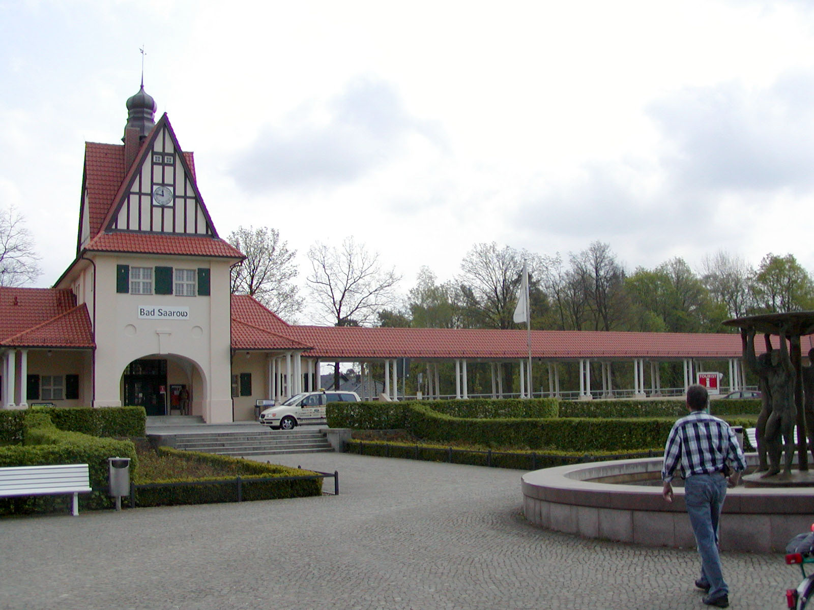
The place is known for its hot springs and for its mineral-rich mud. Their healing properties have attracted visitors for many years, and in 1923 led to the town's name acquiring the prefix Bad ("bath", "spa").
Nearby are the Dubrower Berge, a range of wooded hills popular with hikers and cyclists.
Demography

|
|
Sons and daughters of the town
- Jörg Schönbohm (1937−2019, born in Neu Golm), former Lieutenant general of the Bundeswehr, 1999−2009 Minister of the Interior of the State of Brandenburg
- Cornelia Ernst (born 1956), politician (The Left)
- Marienetta Jirkowsky (1962−1980), death at the Berlin Wall
- Axel Schulz (born 1968), boxer
- Vivien Kussatz (born 1972), sailor
- Franziska Mietzner (born 1988), handball player
References
- "Bevölkerungsentwicklung und Flächen der kreisfreien Städte, Landkreise und Gemeinden im Land Brandenburg 2021" (PDF). Amt für Statistik Berlin-Brandenburg (in German). June 2022.
- Detailed data sources are to be found in the Wikimedia Commons.Population Projection Brandenburg at Wikimedia Commons
Wikimedia Commons has media related to Bad Saarow.
Towns and municipalities in Oder-Spree | ||
|---|---|---|
|  | |
Authority control | |
|---|---|
| General |
|
| National libraries | |
| Other |
|
This Brandenburg location article is a stub. You can help Wikipedia by expanding it. |
На других языках
[de] Bad Saarow
Bad Saarow (niedersorbisch Zarow,[2] 1950–2002 Bad Saarow-Pieskow, 1923–1950 Bad Saarow, bis 1923 Saarow) ist eine amtsangehörige Gemeinde im Landkreis Oder-Spree im Land Brandenburg. Sie ist Verwaltungssitz des Amtes Scharmützelsee, dem weitere vier Gemeinden angehören.- [en] Bad Saarow
[es] Bad Saarow
Bad Saarow es una pequeña localidad del municipio de Scharmützelsee, Distrito de Oder-Spree, en el estado federado de Brandeburgo, en las cercanías de Berlín. Hasta 1990 pertenecía a la extinta República Democrática Alemana y población a finales de 2014 era de 5.090 habitantes. Hasta el año 2002 el nombre de la población era Bad Saarow-Pieskow.[ru] Бад-Заров
Бад-Заров (нем. Bad Saarow, луж. Zarow) — община в Германии, в земле Бранденбург.Текст в блоке "Читать" взят с сайта "Википедия" и доступен по лицензии Creative Commons Attribution-ShareAlike; в отдельных случаях могут действовать дополнительные условия.
Другой контент может иметь иную лицензию. Перед использованием материалов сайта WikiSort.org внимательно изучите правила лицензирования конкретных элементов наполнения сайта.
Другой контент может иметь иную лицензию. Перед использованием материалов сайта WikiSort.org внимательно изучите правила лицензирования конкретных элементов наполнения сайта.
2019-2026
WikiSort.org - проект по пересортировке и дополнению контента Википедии
WikiSort.org - проект по пересортировке и дополнению контента Википедии