world.wikisort.org - Francia
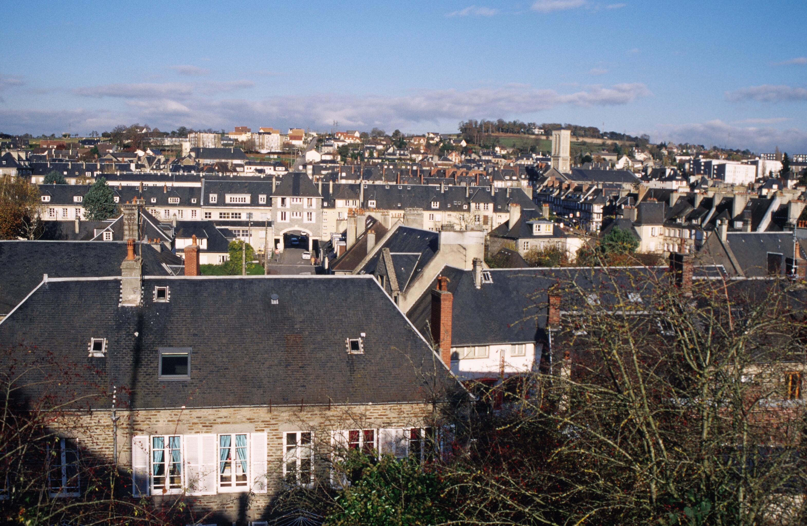
Condé-sur-Noireau è un ex comune francese di 5.735 abitanti situato nel dipartimento del Calvados nella regione della Normandia. Dal 1º gennaio 2017 è stato accorpato ai comuni di La Chapelle-Engerbold, Lénault, Proussy, Saint-Germain-du-Crioult e Saint-Pierre-la-Vieille per formare il comune di Condé-en-Normandie, del quale costituisce comune delegato.
| Condé-sur-Noireau frazione | |||
|---|---|---|---|
| |||
 | |||
| Localizzazione | |||
| Stato | |||
| Regione | |||
| Dipartimento | |||
| Arrondissement | Vire | ||
| Cantone | Condé-sur-Noireau | ||
| Comune | Condé-en-Normandie | ||
| Territorio | |||
| Coordinate | 48°51′N 0°33′W | ||
| Superficie | 12,52 km² | ||
| Abitanti | 5 735[1] (2009) | ||
| Densità | 458,07 ab./km² | ||
| Altre informazioni | |||
| Cod. postale | 14110 e 14770 | ||
| Fuso orario | UTC+1 | ||
| Codice INSEE | 14174 | ||
| Cartografia | |||
 Condé-sur-Noireau | |||
| Sito istituzionale | |||

 |
Appartenente alla regione cosiddetta Svizzera normanna è attraversato dalle acque della Druance, nella quale confluisce il fiume Noireau.
Società
Evoluzione demografica
Abitanti censiti

Note
Altri progetti
 Wikimedia Commons contiene immagini o altri file su Condé-sur-Noireau
Collegamenti esterni
- Sito ufficiale, su conde-sur-noireau.com.
| Controllo di autorità | VIAF (EN) 146853875 · LCCN (EN) no00073195 · BNF (FR) cb15247588b (data) · WorldCat Identities (EN) lccn-no00073195 |
|---|
На других языках
[de] Condé-sur-Noireau
Condé-sur-Noireau ist eine Ortschaft und eine ehemalige französische Gemeinde mit 4.488 Einwohnern (Stand: 1. Januar 2019) im Département Calvados in der Region Normandie. Sie gehörte zum Arrondissement Vire.[en] Condé-sur-Noireau
Condé-sur-Noireau (French pronunciation: [kɔ̃de syʁ nwaʁo] (listen)) is a former commune in the Calvados department in the Normandy region in northwestern France. On 1 January 2016, it was merged into the new commune of Condé-en-Normandie.[2] It is situated on the Noireau [fr] River. In the fifteenth century, the town was occupied by the English, and belonged to Sir John Fastolf of Caister Castle in Norfolk (1380-1459). It was from here that the Spanish mercenary François de Surienne launched an attack on Fougères in Brittany, which triggered the invasion of English Normandy by Charles VII of France, and the end of the Hundred Years' War.[fr] Condé-sur-Noireau
Condé-sur-Noireau est une ancienne commune française, située dans le département du Calvados en région Normandie, devenue le 1er janvier 2016 une commune déléguée au sein de la commune nouvelle de Condé-en-Normandie.- [it] Condé-sur-Noireau
[ru] Конде-сюр-Нуаро
Конде́-сюр-Нуаро́ (фр. Condé-sur-Noireau) — ассоциированная коммуна на северо-западе Франции, регион Нормандия, департамент Кальвадос, округ Вир. Расположена в 39 км к югу от Кана, в месте впадения небольшой речки Дрюанс в реку Нуаро.Текст в блоке "Читать" взят с сайта "Википедия" и доступен по лицензии Creative Commons Attribution-ShareAlike; в отдельных случаях могут действовать дополнительные условия.
Другой контент может иметь иную лицензию. Перед использованием материалов сайта WikiSort.org внимательно изучите правила лицензирования конкретных элементов наполнения сайта.
Другой контент может иметь иную лицензию. Перед использованием материалов сайта WikiSort.org внимательно изучите правила лицензирования конкретных элементов наполнения сайта.
2019-2025
WikiSort.org - проект по пересортировке и дополнению контента Википедии
WikiSort.org - проект по пересортировке и дополнению контента Википедии