world.wikisort.org - France
Saint-Sulpice-la-Forêt (French pronunciation: [sɛ̃ sylpis la fɔʁɛ]; Breton: Sant-Suleg-ar-C'hoad) is a commune in the Ille-et-Vilaine department in Brittany in northwestern France.
Saint-Sulpice-la-Forêt
Sant-Suleg-ar-C'hoad | |
|---|---|
Commune | |
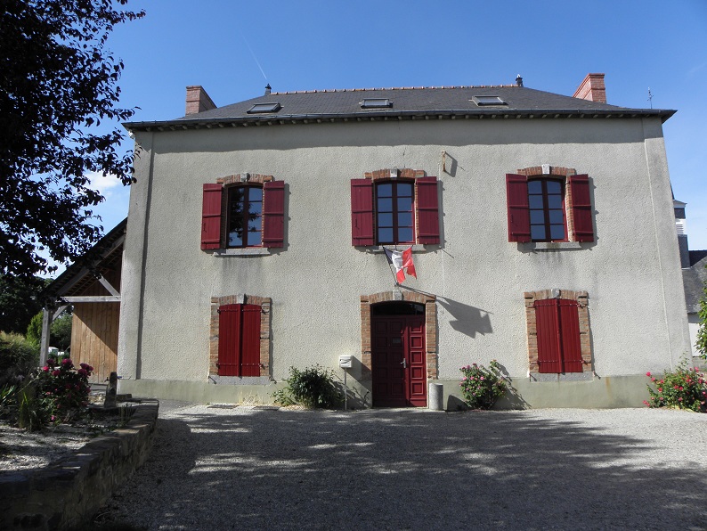 The town hall of Saint-Sulpice-la-Forêt | |
 Coat of arms | |
Location of Saint-Sulpice-la-Forêt  | |
 Saint-Sulpice-la-Forêt  Saint-Sulpice-la-Forêt | |
| Coordinates: 48°13′08″N 1°34′41″W | |
| Country | France |
| Region | Brittany |
| Department | Ille-et-Vilaine |
| Arrondissement | Rennes |
| Canton | Liffré |
| Intercommunality | Rennes Métropole |
| Government | |
| • Mayor (2020–2026) | Yann Huaumé |
| Area 1 | 6.72 km2 (2.59 sq mi) |
| Population | 1,382 |
| • Density | 210/km2 (530/sq mi) |
| Time zone | UTC+01:00 (CET) |
| • Summer (DST) | UTC+02:00 (CEST) |
| INSEE/Postal code | 35315 /35250 |
| Elevation | 46–92 m (151–302 ft) |
| 1 French Land Register data, which excludes lakes, ponds, glaciers > 1 km2 (0.386 sq mi or 247 acres) and river estuaries. | |
Population
Inhabitants of Saint-Sulpice-la-Forêt are called Sulpiciens in French.
| Year | Pop. | ±% |
|---|---|---|
| 1962 | 299 | — |
| 1968 | 325 | +8.7% |
| 1975 | 509 | +56.6% |
| 1982 | 731 | +43.6% |
| 1990 | 1,064 | +45.6% |
| 1999 | 1,307 | +22.8% |
| 2009 | 1,413 | +8.1% |
See also
References
- "Populations légales 2019". The National Institute of Statistics and Economic Studies. 29 December 2021.
External links
Wikimedia Commons has media related to Saint-Sulpice-la-Forêt.
- Base Mérimée: Search for heritage in the commune, Ministère français de la Culture. (in French)
- Mayors of Ille-et-Vilaine Association (in French)
This Ille-et-Vilaine geographical article is a stub. You can help Wikipedia by expanding it. |
На других языках
- [en] Saint-Sulpice-la-Forêt
[es] Saint-Sulpice-la-Forêt
Saint-Sulpice-la-Forêt (en bretón Sant-Suleg-ar-C'hoad) es una población y comuna francesa, situada en la región de Bretaña, departamento de Ille y Vilaine, en el distrito de Rennes y cantón de Liffré.Текст в блоке "Читать" взят с сайта "Википедия" и доступен по лицензии Creative Commons Attribution-ShareAlike; в отдельных случаях могут действовать дополнительные условия.
Другой контент может иметь иную лицензию. Перед использованием материалов сайта WikiSort.org внимательно изучите правила лицензирования конкретных элементов наполнения сайта.
Другой контент может иметь иную лицензию. Перед использованием материалов сайта WikiSort.org внимательно изучите правила лицензирования конкретных элементов наполнения сайта.
2019-2026
WikiSort.org - проект по пересортировке и дополнению контента Википедии
WikiSort.org - проект по пересортировке и дополнению контента Википедии