world.wikisort.org - France
Montreuil-sur-Maine (French pronunciation: [mɔ̃tʁœj syʁ mɛn] (![]() listen), literally Montreuil on Maine) is a commune in the Maine-et-Loire department in western France.
listen), literally Montreuil on Maine) is a commune in the Maine-et-Loire department in western France.
Montreuil-sur-Maine | |
|---|---|
Commune | |
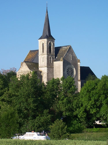 The church in Montreuil-sur-Maine | |
Location of Montreuil-sur-Maine  | |
 Montreuil-sur-Maine  Montreuil-sur-Maine | |
| Coordinates: 47°39′04″N 0°41′44″W | |
| Country | France |
| Region | Pays de la Loire |
| Department | Maine-et-Loire |
| Arrondissement | Segré |
| Canton | Tiercé |
| Intercommunality | Vallées du Haut-Anjou |
| Government | |
| • Mayor (2020–2026) | Marie-Françoise Bellier-Pottier[1] |
| Area 1 | 11.13 km2 (4.30 sq mi) |
| Population | 775 |
| • Density | 70/km2 (180/sq mi) |
| Demonym(s) | Montreuillais, Montreuillaise |
| Time zone | UTC+01:00 (CET) |
| • Summer (DST) | UTC+02:00 (CEST) |
| INSEE/Postal code | 49217 /49220 |
| Elevation | 17–61 m (56–200 ft) (avg. 53 m or 174 ft) |
| 1 French Land Register data, which excludes lakes, ponds, glaciers > 1 km2 (0.386 sq mi or 247 acres) and river estuaries. | |
Geography
The Oudon forms the commune's south-western border. The Mayenne flows south through the middle of the commune.
See also
References
- "Répertoire national des élus: les maires". data.gouv.fr, Plateforme ouverte des données publiques françaises (in French). 2 December 2020.
- "Populations légales 2019". The National Institute of Statistics and Economic Studies. 29 December 2021.
| Wikimedia Commons has media related to Montreuil-sur-Maine. |
This Maine-et-Loire geographical article is a stub. You can help Wikipedia by expanding it. |
На других языках
[de] Montreuil-sur-Maine
Vorlage:Infobox Gemeinde in Frankreich/Wartung/abweichendes Wappen in Wikidata- [en] Montreuil-sur-Maine
Текст в блоке "Читать" взят с сайта "Википедия" и доступен по лицензии Creative Commons Attribution-ShareAlike; в отдельных случаях могут действовать дополнительные условия.
Другой контент может иметь иную лицензию. Перед использованием материалов сайта WikiSort.org внимательно изучите правила лицензирования конкретных элементов наполнения сайта.
Другой контент может иметь иную лицензию. Перед использованием материалов сайта WikiSort.org внимательно изучите правила лицензирования конкретных элементов наполнения сайта.
2019-2025
WikiSort.org - проект по пересортировке и дополнению контента Википедии
WikiSort.org - проект по пересортировке и дополнению контента Википедии