world.wikisort.org - France
Droué (French pronunciation: [dʁue]) is a commune in the Loir-et-Cher department of central France.[2]
Droué | |
|---|---|
Commune | |
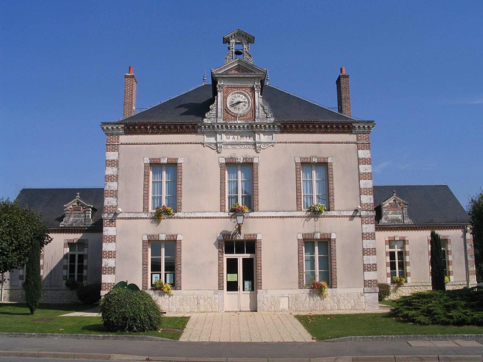 Town hall | |
 Coat of arms | |
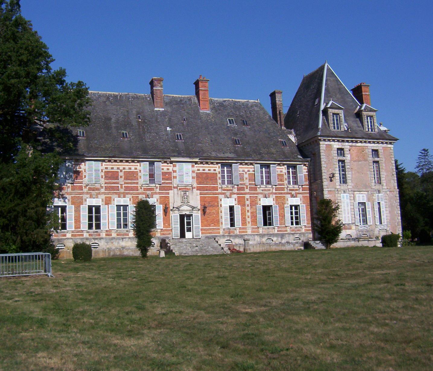
Location of Droué  | |
 Droué  Droué | |
| Coordinates: 48°02′29″N 1°04′38″E | |
| Country | France |
| Region | Centre-Val de Loire |
| Department | Loir-et-Cher |
| Arrondissement | Vendôme |
| Canton | Le Perche |
| Intercommunality | Perche et Haut Vendômois |
| Government | |
| • Mayor (2020–2026) | Catherine Monnier |
| Area 1 | 24.04 km2 (9.28 sq mi) |
| Population | 1,009 |
| • Density | 42/km2 (110/sq mi) |
| Time zone | UTC+01:00 (CET) |
| • Summer (DST) | UTC+02:00 (CEST) |
| INSEE/Postal code | 41075 /41260 |
| Elevation | 143–214 m (469–702 ft) (avg. 158 m or 518 ft) |
| 1 French Land Register data, which excludes lakes, ponds, glaciers > 1 km2 (0.386 sq mi or 247 acres) and river estuaries. | |
It is 65 km northwest of Blois and is bordered on the south by the Egvonne, a tributary of the Loir.
Population
|
|
International relations
It is twinned with Rothwell in the United Kingdom and Gondelsheim in Germany.
See also
References
- "Populations légales 2019". The National Institute of Statistics and Economic Studies. 29 December 2021.
- INSEE commune file
External links
| Wikimedia Commons has media related to Droué. |
Communes of the Loir-et-Cher department | |
|---|---|
|
Authority control | |
|---|---|
| General |
|
| National libraries | |
This Loir-et-Cher geographical article is a stub. You can help Wikipedia by expanding it. |
Текст в блоке "Читать" взят с сайта "Википедия" и доступен по лицензии Creative Commons Attribution-ShareAlike; в отдельных случаях могут действовать дополнительные условия.
Другой контент может иметь иную лицензию. Перед использованием материалов сайта WikiSort.org внимательно изучите правила лицензирования конкретных элементов наполнения сайта.
Другой контент может иметь иную лицензию. Перед использованием материалов сайта WikiSort.org внимательно изучите правила лицензирования конкретных элементов наполнения сайта.
2019-2026
WikiSort.org - проект по пересортировке и дополнению контента Википедии
WikiSort.org - проект по пересортировке и дополнению контента Википедии