world.wikisort.org - France
Châlette-sur-Loing (French pronunciation: [ʃalɛt syʁ lwɛ̃]) is a commune in the Loiret department in north-central France.
Châlette-sur-Loing | |
|---|---|
Commune | |
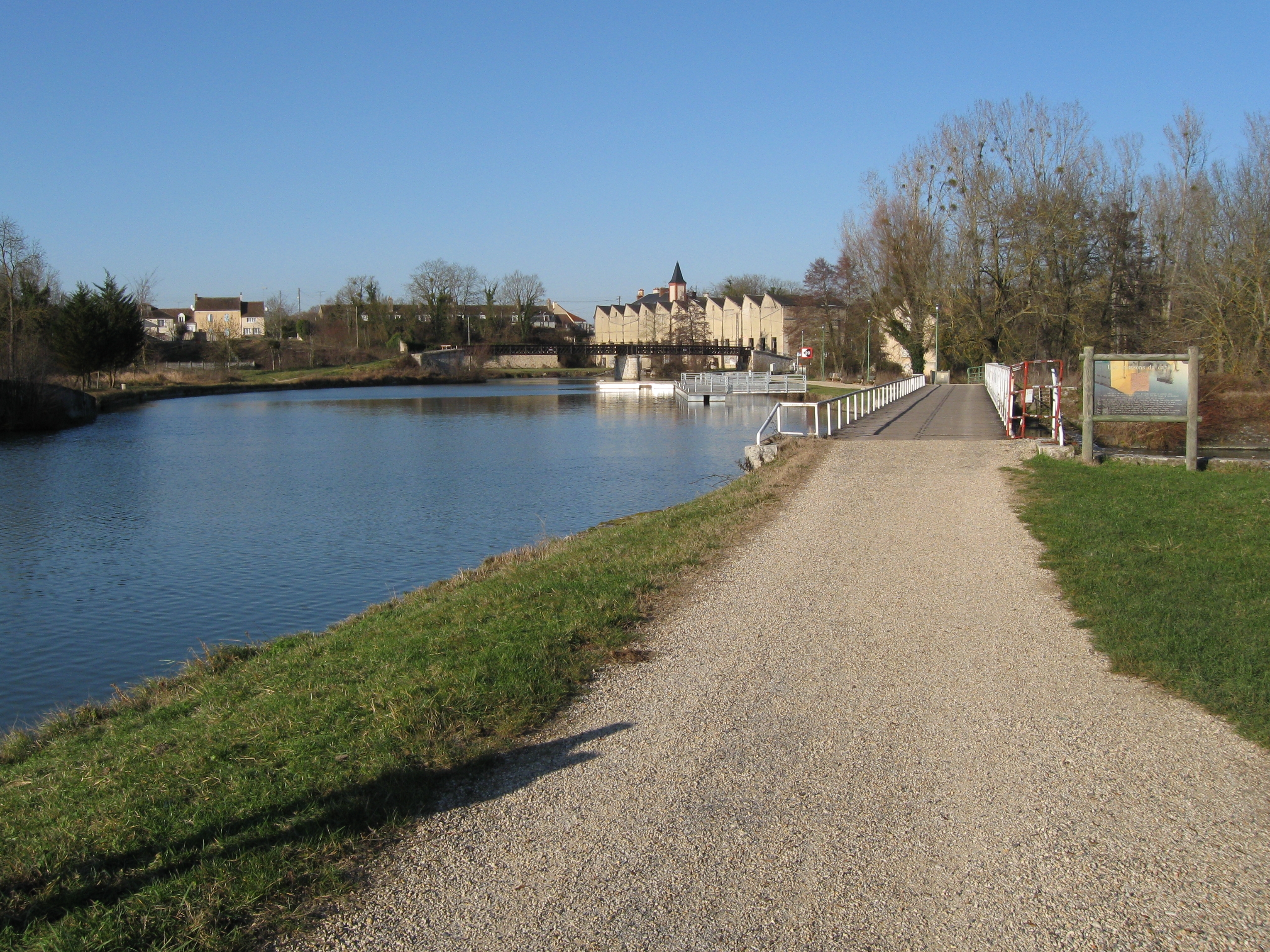 The Loing Canal at Châlette-sur-Loing | |
 Coat of arms | |
Location of Châlette-sur-Loing  | |
 Châlette-sur-Loing  Châlette-sur-Loing | |
| Coordinates: 48°00′45″N 2°44′11″E | |
| Country | France |
| Region | Centre-Val de Loire |
| Department | Loiret |
| Arrondissement | Montargis |
| Canton | Châlette-sur-Loing |
| Intercommunality | Agglomération Montargoise et Rives du Loing |
| Government | |
| • Mayor (2020–2026) | Franck Demaumont |
| Area 1 | 13.13 km2 (5.07 sq mi) |
| Population | 12,688 |
| • Density | 970/km2 (2,500/sq mi) |
| Demonym | Châlettois |
| Time zone | UTC+01:00 (CET) |
| • Summer (DST) | UTC+02:00 (CEST) |
| INSEE/Postal code | 45068 /45120 |
| Elevation | 77–114 m (253–374 ft) |
| 1 French Land Register data, which excludes lakes, ponds, glaciers > 1 km2 (0.386 sq mi or 247 acres) and river estuaries. | |
Geography
The commune is crossed by two rivers, the Loing and the Solin, and three canals, the Canal du Loing, the Canal de Briare and the Canal d'Orléans.
Population
| Year | Pop. | ±% p.a. |
|---|---|---|
| 1968 | 12,745 | — |
| 1975 | 13,820 | +1.16% |
| 1982 | 14,961 | +1.14% |
| 1990 | 14,591 | −0.31% |
| 1999 | 13,969 | −0.48% |
| 2007 | 13,196 | −0.71% |
| 2012 | 13,053 | −0.22% |
| 2017 | 12,576 | −0.74% |
| Source: INSEE[2] | ||
See also
References
- "Populations légales 2019". The National Institute of Statistics and Economic Studies. 29 December 2021.
- Population en historique depuis 1968, INSEE
Wikimedia Commons has media related to Châlette-sur-Loing.
Authority control | |
|---|---|
| General | |
| National libraries | |
| Other | |
This Loiret geographical article is a stub. You can help Wikipedia by expanding it. |
На других языках
[de] Châlette-sur-Loing
Châlette-sur-Loing ist eine französische Gemeinde mit 12.688 Einwohnern (Stand: 1. Januar 2019) im Département Loiret in der Region Centre-Val de Loire. Sie liegt im Arrondissement Montargis.- [en] Châlette-sur-Loing
Текст в блоке "Читать" взят с сайта "Википедия" и доступен по лицензии Creative Commons Attribution-ShareAlike; в отдельных случаях могут действовать дополнительные условия.
Другой контент может иметь иную лицензию. Перед использованием материалов сайта WikiSort.org внимательно изучите правила лицензирования конкретных элементов наполнения сайта.
Другой контент может иметь иную лицензию. Перед использованием материалов сайта WikiSort.org внимательно изучите правила лицензирования конкретных элементов наполнения сайта.
2019-2026
WikiSort.org - проект по пересортировке и дополнению контента Википедии
WikiSort.org - проект по пересортировке и дополнению контента Википедии