world.wikisort.org - France
Angoville (French pronunciation: [ɑ̃ɡɔvil] (![]() listen)) is a former commune in the Calvados department in the Normandy region of north-western France. On 1 January 2019, it was merged into the new commune of Cesny-les-Sources.[2]
listen)) is a former commune in the Calvados department in the Normandy region of north-western France. On 1 January 2019, it was merged into the new commune of Cesny-les-Sources.[2]
Angoville | |
|---|---|
Part of Cesny-les-Sources | |
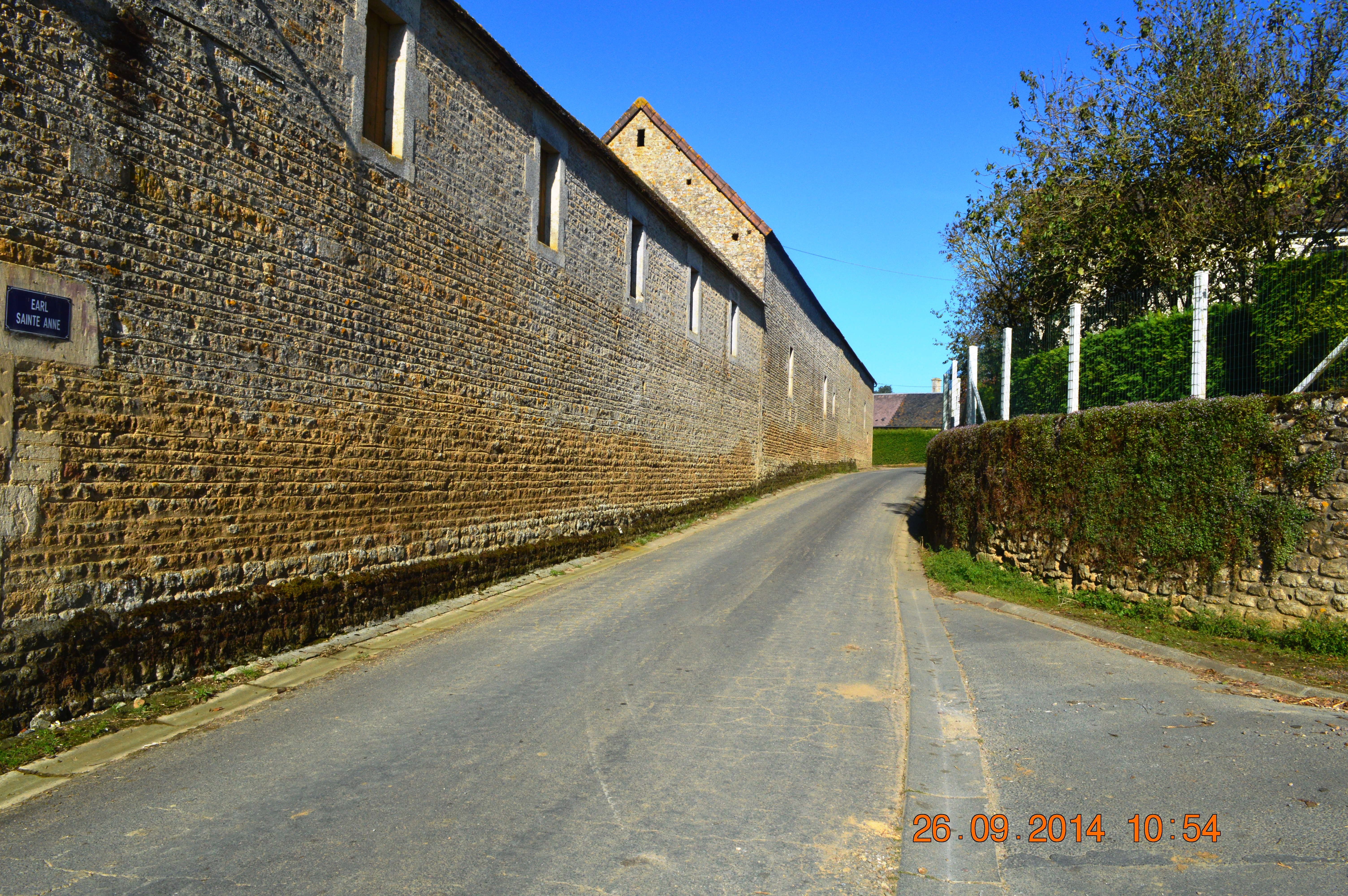
 The road into Angoville | |
Location of Angoville  | |
 Angoville  Angoville | |
| Coordinates: 48°56′45″N 0°22′39″W | |
| Country | France |
| Region | Normandy |
| Department | Calvados |
| Arrondissement | Caen |
| Canton | Le Hom |
| Commune | Cesny-les-Sources |
| Area 1 | 3.72 km2 (1.44 sq mi) |
| Population (2019)[1] | 24 |
| • Density | 6.5/km2 (17/sq mi) |
| Time zone | UTC+01:00 (CET) |
| • Summer (DST) | UTC+02:00 (CEST) |
| Postal code | 14220 |
| Elevation | 173–248 m (568–814 ft) (avg. 220 m or 720 ft) |
| 1 French Land Register data, which excludes lakes, ponds, glaciers > 1 km2 (0.386 sq mi or 247 acres) and river estuaries. | |
The inhabitants of the commune are known as Angovillais or Angovillaises[3]
Geography
Angoville is located some 30 km south of Caen and 10 km east by south-east of Thury-Harcourt. The D6 road from Thury-Harcourt to Ussy forms the northern border of the commune. Access to the commune is by the D241 road from Tréprel in the south which passes through the length of the commune and the village and continues north to join the D6 on the border. The commune is mostly farmland with an area of forest in the south which is part of the large Bois de Saint-Claire.[4]
Neighbouring communes and villages[4] | ||||||||||||||||
|---|---|---|---|---|---|---|---|---|---|---|---|---|---|---|---|---|
| ||||||||||||||||
History
Toponymy
Angoville is composed of the old French "ville" (from the Latin "Villae") meaning a rural area or village and a Scandinavian name Asgaut (or Asgautr),[5] gallicized to Asgot, Ansgot, Angot, and Ango - originally the Norman surname Ango[6] and Angot[7] which are widespread in Seine-Maritime.
Administration

This list is incomplete; you can help by adding missing items. (April 2021) |
List of Successive Mayors of Angoville[8]
| From | To | Name | Party | Position |
|---|---|---|---|---|
| ? | ? | Louis-Aimable Auvray[9] | Farmer | |
| ? | ? | M. Pourdais (Father) | ||
| ? | 2001 | Guy Bourdais | ||
| 2001 | 2014 | Daniel Simon | SE | Farmer |
| 2014 | 2019 | Éric Sohier | SE | Editor |
Demography
In 2017, the commune had 27 inhabitants.
|
| ||||||||||||||||||||||||||||||||||||||||||||||||||||||||||||||||||||||||||||||||||||||||||||||||||||||||||||||||||
| Source: EHESS[10] and INSEE[11][1] | |||||||||||||||||||||||||||||||||||||||||||||||||||||||||||||||||||||||||||||||||||||||||||||||||||||||||||||||||||
Economy
The main activities are dairy farming and cropping.
Culture and heritage
Civil heritage
The commune has a number of buildings and structures that are registered as historical monuments:
- Houses and Farms (18th-19th century)
 [12]
[12] - A Farmhouse (1786)[13]
- The Saint Anne Fountain (1848)[14]
- The Town Hall (19th century)[15]
- The Motte de Rouvrou Fortified Site (11th century)[16]
Religious heritage

The commune has several religious buildings and structures that are registered as historical monuments:
- The Tomb of the Rabâche family (19th century)[17]
- The Tomb of Jean-François Rabâche (1816)[18]
- The Tomb of Priest François Bouquet (1813)[19]
- The Parish Church of Saint-Anne (12th century)[20]
See also
References
- Téléchargement du fichier d'ensemble des populations légales en 2019, INSEE
- Arrêté préfectoral 24 September 2018, p. 124 (in French)
- Inhabitants of Calvados (in French)
- Google Maps
- National Scientific Research Centre (France), Annals of Normandy, Volume 52, Nos. 1 to 5, Regional Ethnographic Laboratory, 2002 (in French)
- Ango in Géopatronyme website (in French)
- Angot in Géopatronyme website (in French)
- List of Mayors of France (in French)
- Annual of the department of la Manche, 12th edition, 1840, p 223
- Des villages de Cassini aux communes d'aujourd'hui: Commune data sheet Angoville, EHESS. (in French)
- Populations légales 2012, INSEE
- Ministry of Culture, Mérimée IA00000570 Houses and Farms (in French)
- Ministry of Culture, Mérimée IA00000569 Farmhouse (in French)
- Ministry of Culture, Mérimée IA00000568 Saint Anne Fountain (in French)
- Ministry of Culture, Mérimée IA00000564 Town Hall (in French)
- Ministry of Culture, Mérimée IA00000568 Motte de Rouvrou Fortified Site (in French)
- Ministry of Culture, Mérimée IA00000567 Tomb of the Rabâche family (in French)
- Ministry of Culture, Mérimée IA00000566 Tomb of Jean-François Rabâche (in French)
- Ministry of Culture, Mérimée IA00000565 Tomb of Priest François Bouquet (in French)
- Ministry of Culture, Mérimée IA00000562 Parish Church of Saint-Anne (in French)
External links
- Angoville on Géoportail, National Geographic Institute (IGN) website (in French)
- Angoville on the 1750 Cassini Map
На других языках
[de] Angoville
Angoville ( Aussprache?/i) ist eine Ortschaft und eine ehemalige französische Gemeinde mit 24 (Stand: 1. Januar 2019) im Département Calvados in der Region Normandie. Sie gehörte zum Arrondissement Caen und zum Kanton Thury-Harcourt. Die Einwohner werden als Angovillais oder Angovillaises bezeichnet.- [en] Angoville, Calvados
[ru] Анговиль
Ангови́ль (фр. Angoville) — коммуна во Франции, находится в регионе Нижняя Нормандия. Департамент коммуны — Кальвадос. Входит в состав кантона Тюри-Аркур. Округ коммуны — Кан.Другой контент может иметь иную лицензию. Перед использованием материалов сайта WikiSort.org внимательно изучите правила лицензирования конкретных элементов наполнения сайта.
WikiSort.org - проект по пересортировке и дополнению контента Википедии