world.wikisort.org - Frankreich
La Loupe ist eine französische Gemeinde mit 3329 Einwohnern (Stand 1. Januar 2019) im Département Eure-et-Loir in der Region Centre-Val de Loire; sie gehört zum Arrondissement Nogent-le-Rotrou und zum Kanton Nogent-le-Rotrou.
| La Loupe | ||
|---|---|---|

|
| |
| Staat | Frankreich | |
| Region | Centre-Val de Loire | |
| Département (Nr.) | Eure-et-Loir (28) | |
| Arrondissement | Nogent-le-Rotrou | |
| Kanton | Nogent-le-Rotrou | |
| Gemeindeverband | Terres de Perche | |
| Koordinaten | 48° 28′ N, 1° 1′ O | |
| Höhe | 192–243 m | |
| Fläche | 7,39 km² | |
| Einwohner | 3.329 (1. Januar 2019) | |
| Bevölkerungsdichte | 450 Einw./km² | |
| Postleitzahl | 28240 | |
| INSEE-Code | 28214 | |
| Website | http://www.ville-la-loupe.com/ | |
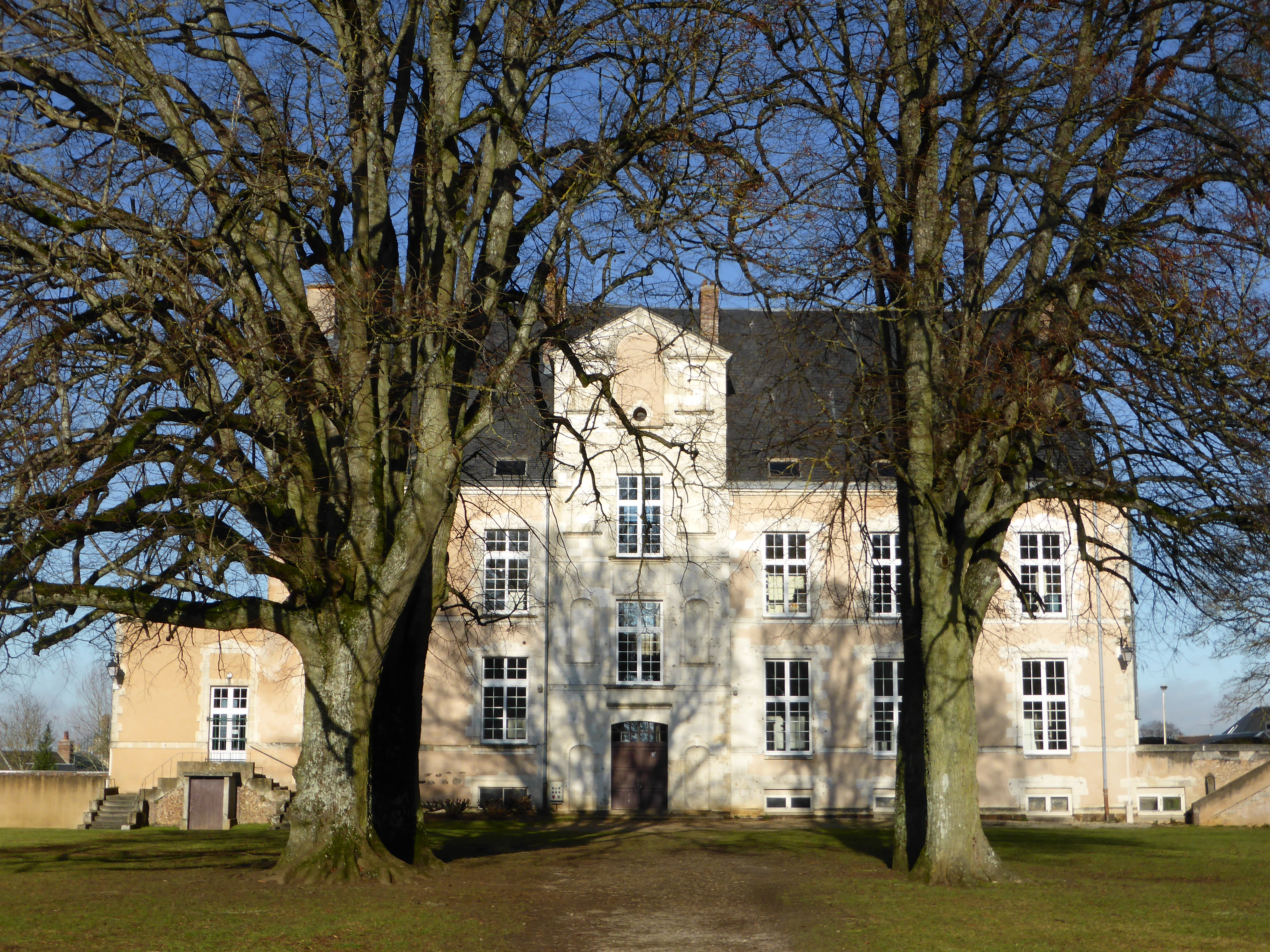 Schloss La Loupe | ||

Nachbargemeinden von La Loupe sind Belhomert-Guéhouville im Nordosten, Saint-Maurice-Saint-Germain im Osten, Saint-Eliph im Südosten, Vaupillon im Südwesten und Meaucé im Nordwesten.
Bevölkerungsentwicklung
| Jahr | 1962 | 1968 | 1975 | 1982 | 1990 | 1999 | 2010 | 2017 |
| Einwohner | 2737 | 3510 | 3719 | 3693 | 3820 | 3734 | 3483 | 3342 |
Verkehr
La Loupe hat einen Bahnhof an der Bahnstrecke Paris–Brest, der im Regionalverkehr mit TER-Zügen bedient wird.
Sehenswürdigkeiten
- Schloss La Loupe
Persönlichkeiten
- Simon de Melun († 1302), Sire de La Loupe
Partnergemeinden
- Royston, Hertfordshire, England
- Pfalzgrafenweiler, Baden-Württemberg
Weblinks
Commons: La Loupe – Sammlung von Bildern, Videos und Audiodateien
На других языках
- [de] La Loupe
[en] La Loupe
La Loupe is a commune in the Eure-et-Loir department in northern France.Текст в блоке "Читать" взят с сайта "Википедия" и доступен по лицензии Creative Commons Attribution-ShareAlike; в отдельных случаях могут действовать дополнительные условия.
Другой контент может иметь иную лицензию. Перед использованием материалов сайта WikiSort.org внимательно изучите правила лицензирования конкретных элементов наполнения сайта.
Другой контент может иметь иную лицензию. Перед использованием материалов сайта WikiSort.org внимательно изучите правила лицензирования конкретных элементов наполнения сайта.
2019-2026
WikiSort.org - проект по пересортировке и дополнению контента Википедии
WikiSort.org - проект по пересортировке и дополнению контента Википедии