world.wikisort.org - Czech
Bílá Lhota (German: Weissöhlhütten) is a municipality and village in Olomouc District in the Olomouc Region of the Czech Republic. It has about 1,200 inhabitants.
Bílá Lhota | |
|---|---|
Municipality | |
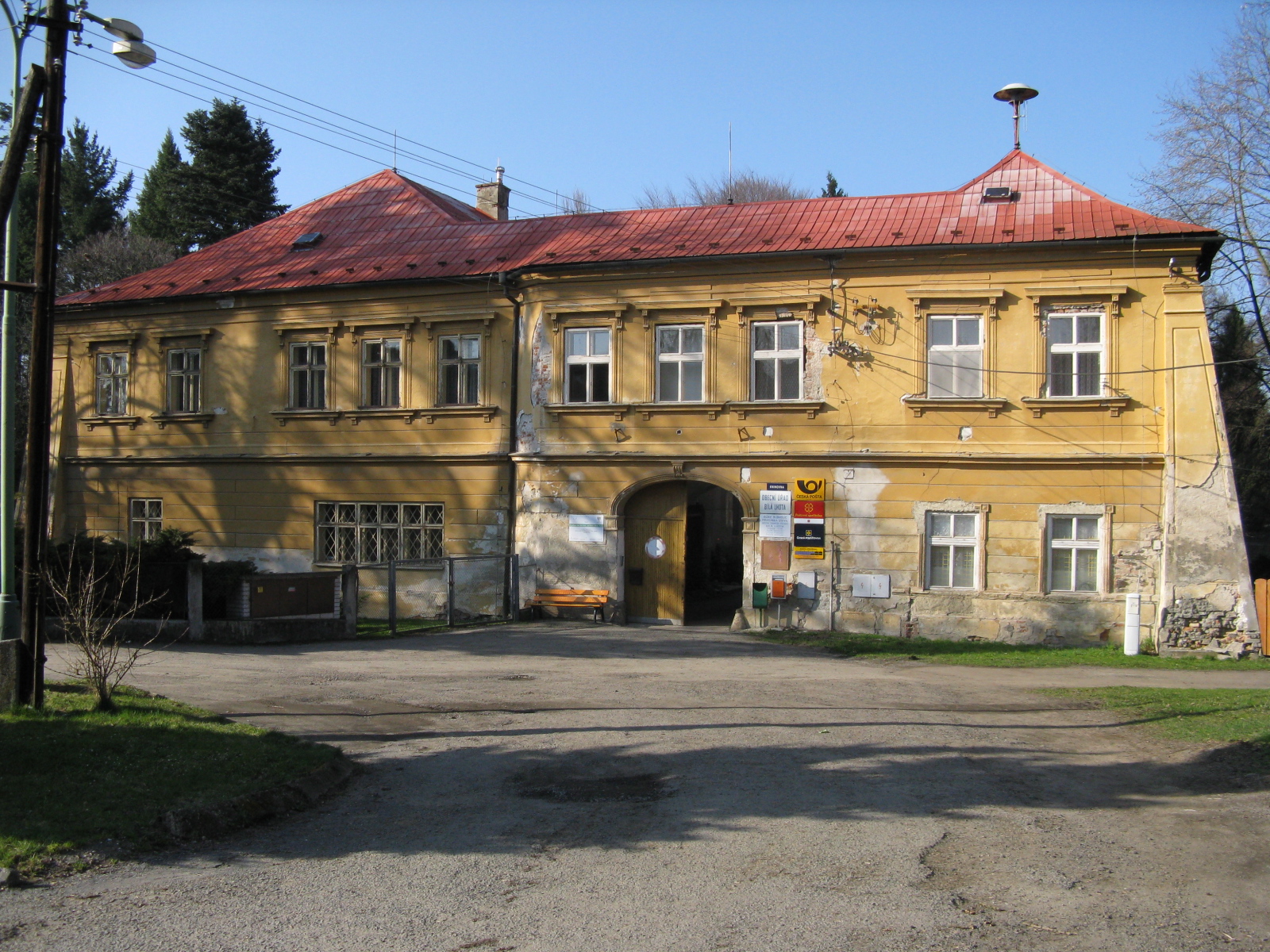 Bílá Lhota Castle, now the municipal office | |
 Flag  Coat of arms | |
 Bílá Lhota Location in the Czech Republic | |
| Coordinates: 49°42′34″N 16°58′30″E | |
| Country | |
| Region | Olomouc |
| District | Olomouc |
| First mentioned | 1350 |
| Area | |
| • Total | 18.22 km2 (7.03 sq mi) |
| Elevation | 395 m (1,296 ft) |
| Population (2022-01-01)[1] | |
| • Total | 1,152 |
| • Density | 63/km2 (160/sq mi) |
| Time zone | UTC+1 (CET) |
| • Summer (DST) | UTC+2 (CEST) |
| Postal codes | 783 21, 783 24 |
| Website | www |
Administrative parts
Villages of Červená Lhota, Hrabí, Hradečná, Měník, Pateřín and Řimice are administrative parts of Bílá Lhota.
References
- "Population of Municipalities – 1 January 2022". Czech Statistical Office. 2022-04-29.
Wikimedia Commons has media related to Bílá Lhota.
| Authority control: National libraries |
|---|
This Olomouc Region location article is a stub. You can help Wikipedia by expanding it. |
Текст в блоке "Читать" взят с сайта "Википедия" и доступен по лицензии Creative Commons Attribution-ShareAlike; в отдельных случаях могут действовать дополнительные условия.
Другой контент может иметь иную лицензию. Перед использованием материалов сайта WikiSort.org внимательно изучите правила лицензирования конкретных элементов наполнения сайта.
Другой контент может иметь иную лицензию. Перед использованием материалов сайта WikiSort.org внимательно изучите правила лицензирования конкретных элементов наполнения сайта.
2019-2026
WikiSort.org - проект по пересортировке и дополнению контента Википедии
WikiSort.org - проект по пересортировке и дополнению контента Википедии