world.wikisort.org - Cuba
Minas de Matahambre (Spanish pronunciation: [minas ðe mataˈambɾe]) is a municipality and town in the Pinar del Río Province of Cuba. It was declared a National Monument of Cuba.[3]
Minas de Matahambre | |
|---|---|
Municipality | |
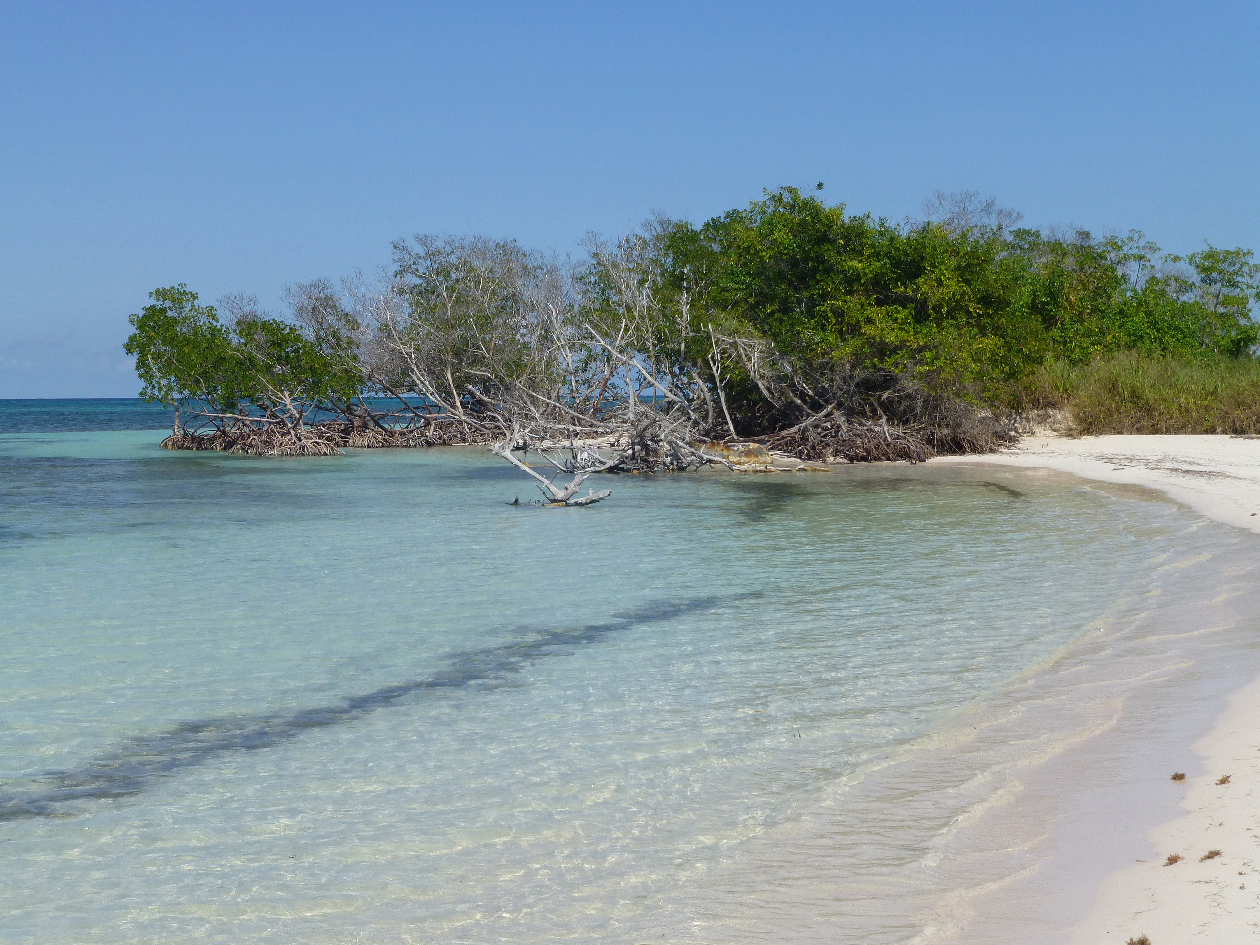 Cayo Jutías, part of the municipality and of the Colorados Archipelago | |
 Minas de Matahambre municipality (red) within Pinar del Río Province (yellow) and Cuba | |
| Coordinates: 22°34′56″N 83°56′57″W | |
| Country | Cuba |
| Province | Pinar del Río |
| Area | |
| • Total | 858 km2 (331 sq mi) |
| Elevation | 115 m (377 ft) |
| Population (2004)[2] | |
| • Total | 34,419 |
| • Density | 40.1/km2 (104/sq mi) |
| Time zone | UTC-5 (EST) |
| Area code(s) | +53-82 |
Geography
The municipality faces the Gulf of Mexico to the north, where the cays of the Colorados Archipelago are developed off-shore. It is bordered by the municipalities of Mantua, Guane, San Juan y Martínez and Viñales.
The municipality includes the villages of Baja, Cabezas, Pons, La Sabana, Río del Medio, Santa Lucía, Sitio Morales and Sumidero.
Demographics
In 2004, the municipality of Minas de Matahambre had a population of 34,419.[2] With a total area of 858 km2 (331 sq mi),[1] it has a population density of 40.1/km2 (104/sq mi).
Culture
The Minas de Matahambre Municipal Museum holds objects and photography collections of local history.
See also
- Municipalities of Cuba
- List of cities in Cuba
References
- Statoids (July 2003). "Municipios of Cuba". Retrieved 2007-10-07.
- Atenas.cu (2004). "2004 Population trends, by Province and Municipality" (in Spanish). Archived from the original on 2007-09-27. Retrieved 2007-10-07.
- National Council for Cultural Heritage. "National Monuments in Cuba" (in Spanish). Archived from the original on 2007-12-11. Retrieved 2007-10-09.
External links
![]() Media related to Minas de Matahambre at Wikimedia Commons
Media related to Minas de Matahambre at Wikimedia Commons
Places adjacent to Minas de Matahambre | ||||||||||||||||
|---|---|---|---|---|---|---|---|---|---|---|---|---|---|---|---|---|
| ||||||||||||||||
Municipalities in Pinar del Río Province | ||
|---|---|---|
| ||
This Cuban location article is a stub. You can help Wikipedia by expanding it. |
Другой контент может иметь иную лицензию. Перед использованием материалов сайта WikiSort.org внимательно изучите правила лицензирования конкретных элементов наполнения сайта.
WikiSort.org - проект по пересортировке и дополнению контента Википедии