world.wikisort.org - Croatia
Vrbovsko (Serbian Cyrillic: Врбовско[1]) is a town in western Croatia, situated at the far east of the mountainous region of Gorski Kotar in the Primorje-Gorski Kotar County; on its 280 square kilometers area, Vrbovsko features 60 settlements and a total of 6,047 inhabitants. The town of Vrbovsko itself has a population of 1,673.[2]
Vrbovsko
Врбовско | |
|---|---|
Town | |
| Grad Vrbovsko Town of Vrbovsko | |
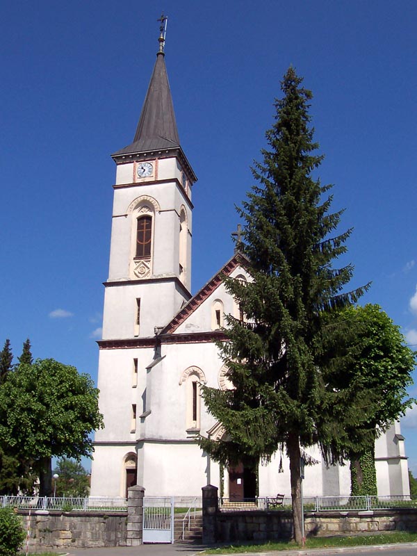 Church in Vrbovsko | |
 Vrbovsko Location of Vrbovsko in Croatia | |
| Coordinates: 45.375°N 15.079°E | |
| Country | |
| County | |
| Government | |
| • Mayor | Dražen Mufić (Ind.) |
| Population (2021) | |
| • Total | 3,872 |
| Time zone | UTC+1 (CET) |
| • Summer (DST) | UTC+2 (CEST) |
| Postal code | 51326 |
| Area code(s) | 051 |
| Vehicle registration | RI |
| Website | Grad Vrbovsko |
Demographics
In 2011, 60.1% of the population were Croats and 35.2% were Serbs.[3]
| population | 10064 | 10601 | 11391 | 11920 | 11001 | 10230 | 9663 | 10825 | 8714 | 9077 | 8663 | 8411 | 7344 | 7528 | 6047 | 5076 | 3872 |
| 1857 | 1869 | 1880 | 1890 | 1900 | 1910 | 1921 | 1931 | 1948 | 1953 | 1961 | 1971 | 1981 | 1991 | 2001 | 2011 | 2021 |
The list of settlements in the municipality of Vrbovsko is:[2]
- Blaževci, population 38
- Bunjevci, population 35
- Carevići, population 17
- Damalj, population 27
- Dokmanovići, population 54
- Dolenci, population 10
- Donji Vučkovići, population 17
- Donji Vukšići, population 13
- Draga Lukovdolska, population 19
- Dragovići, population 6
- Gomirje, population 343
- Gorenci, population 44
- Gornji Vučkovići, population 13
- Gornji Vukšići, population 0
- Hajdine, population 80
- Hambarište, population 38
- Jablan, population 209
- Jakšići, population 50
- Kamensko, population 4
- Klanac, population 35
- Komlenići, population 11
- Lesci, population 0
- Liplje, population 62
- Lukovdol, population 129
- Ljubošina, population 173
- Majer, population 16
- Mali Jadrč, population 35
- Matići, population 13
- Međedi, population 0
- Mlinari, population 7
- Močile, population 88
- Moravice, population 664
- Musulini, population 152
- Nadvučnik, population 29
- Nikšići, population 30
- Osojnik, population 102
- Petrovići, population 15
- Plemenitaš, population 38
- Plešivica, population 11
- Podvučnik, population 0
- Poljana, population 8
- Presika, population 14
- Radigojna, population 23
- Radočaj, population 0
- Radoševići, population 35
- Rim, population 38
- Rtić, population 11
- Severin na Kupi, population 118
- Smišljak, population 21
- Stubica, population 53
- Štefanci, population 3
- Tići, population 48
- Tomići, population 13
- Topolovica, population 3
- Tuk, population 79
- Veliki Jadrč, population 73
- Vrbovsko, population 1,673
- Vučinići, population 64
- Vučnik, population 11
- Vujnovići, population 41
- Vukelići, population 20
- Zapeć, population 9
- Zaumol, population 39
- Zdihovo, population 28
- Žakule, population 24
Geography
This section does not cite any sources. (December 2009) |
In the north, river Kupa separates Vrbovsko from adjoining Slovenia, while the eastern border follows the line of Zdihovo, Liplje and Bosiljevo settlements and cuts through the river Dobra valley near Ljubošina. The western border starts at the Kupa gorge at Radočaj, goes around Razdrto and passes over the railway tracks between Koritnik Veliki and Palež, continues to Lužac and ends in Sušica-Jablan area. The southern border is the highest in its relief characteristics – it runs along mountain peaks at an altitude of 1000 meters or higher. Debela Kosa (1169 m), Bukovica (1253 m), Bijela kosa (1289 m), Mirkovica (1283 m), and Smolnik (1219 m) peaks are especially distinguishable by their beauty, forests and height. Towards the east, the border continues over Kozarice and Lombarda passes, and ends in the river Dobra valley, thus rounding off Vrbovsko area.
The geographical position of Vrbovsko that places it along the transit lines halfway between Zagreb and Rijeka is of extreme importance. Good rail and highway connections provide for quick access to Vrbovsko.
References
- Government of Croatia (October 2013). "Peto izvješće Republike Hrvatske o primjeni Europske povelje o regionalnim ili manjinskim jezicima" (PDF) (in Croatian). Council of Europe. p. 36. Retrieved 30 November 2016.
- "Population by Age and Sex, by Settlements, 2011 Census: Vrbovsko". Census of Population, Households and Dwellings 2011. Zagreb: Croatian Bureau of Statistics. December 2012.
- "Population by Ethnicity, by Towns/Municipalities, 2011 Census: County of Primorje-Gorski kotar". Census of Population, Households and Dwellings 2011. Zagreb: Croatian Bureau of Statistics. December 2012.
External links
Subdivisions of Primorje-Gorski Kotar County | ||
|---|---|---|
| Cities and towns |
|  |
| Municipalities | ||
| Authority control |
|
|---|
Другой контент может иметь иную лицензию. Перед использованием материалов сайта WikiSort.org внимательно изучите правила лицензирования конкретных элементов наполнения сайта.
WikiSort.org - проект по пересортировке и дополнению контента Википедии