world.wikisort.org - Colombia
Jambaló è un comune della Colombia facente parte del dipartimento di Cauca.
| Jambaló comune | ||
|---|---|---|
| ||
 | ||
| Localizzazione | ||
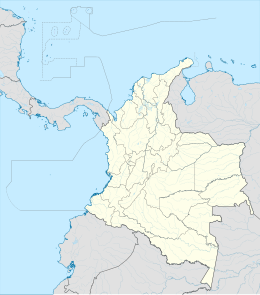
| Stato | ||
| Dipartimento | ||
| Amministrazione | ||
| Sindaco | Carlos Andrés Betancur Conda | |
| Territorio | ||
| Coordinate | 2°47′19″N 76°19′43″W | |
| Altitudine | 2,507 m s.l.m. | |
| Superficie | 254[1] km² | |
| Abitanti | 14 831[2] (2005) | |
| Densità | 58,39 ab./km² | |
| Altre informazioni | ||
| Fuso orario | UTC-5 | |
| Nome abitanti | Jambalueño | |
| Cartografia | ||
 Jambaló | ||
 | ||
| Sito istituzionale | ||

Il centro abitato venne fondato da Agustin Giron e Antonio Dagua nel 1550, mentre l'istituzione del comune è del 23 agosto 1770.
Note
- (EN) Dato da statoids.com, su statoids.com. URL consultato il 28 febbraio 2012.
- (ES) Dati del censimento 2005 forniti dal DANE - Departamento Administrativo Nacional de Estadística (PDF), su dane.gov.co. URL consultato il 28 febbraio 2012 (archiviato dall'url originale l'11 giugno 2008).
Altri progetti
 Wikimedia Commons contiene immagini o altri file su Jambaló
Collegamenti esterni
- Sito ufficiale, su jambalo-cauca.gov.co.
На других языках
[en] Jambaló
Jambaló (Spanish pronunciation: [xambaˈlo]) is a municipality and, at the same time, an indigenous reservation of Colombia. It is located in the northeastern department of Cauca, 80 kilometers north of the city of Popayán (the capital of the department). It borders on the north with the municipalities of Caloto and Toribío, on the east with the municipality of Páez, on the south with the municipality of Silvia and on the west with the municipalities of Caldono and Santander de Quilichao. The municipal head is the most populous urban center of the territory and is also called "Jambaló", is located in the extreme south, on the limits with the municipality of Silvia; However, in the rural area it is where the majority of the population lives (94%). Being Jambaló also indigenous guard, the majority of its inhabitants are of the nasa and misak ethnic groups.- [it] Jambaló
[ru] Хамбало
Хамбало (исп. Jambaló) — город и муниципалитет на юго-западе Колумбии, на территории департамента Каука. Входит в состав Восточной (исп.) (рус. провинции.Текст в блоке "Читать" взят с сайта "Википедия" и доступен по лицензии Creative Commons Attribution-ShareAlike; в отдельных случаях могут действовать дополнительные условия.
Другой контент может иметь иную лицензию. Перед использованием материалов сайта WikiSort.org внимательно изучите правила лицензирования конкретных элементов наполнения сайта.
Другой контент может иметь иную лицензию. Перед использованием материалов сайта WikiSort.org внимательно изучите правила лицензирования конкретных элементов наполнения сайта.
2019-2025
WikiSort.org - проект по пересортировке и дополнению контента Википедии
WikiSort.org - проект по пересортировке и дополнению контента Википедии