world.wikisort.org - Cape_Verde
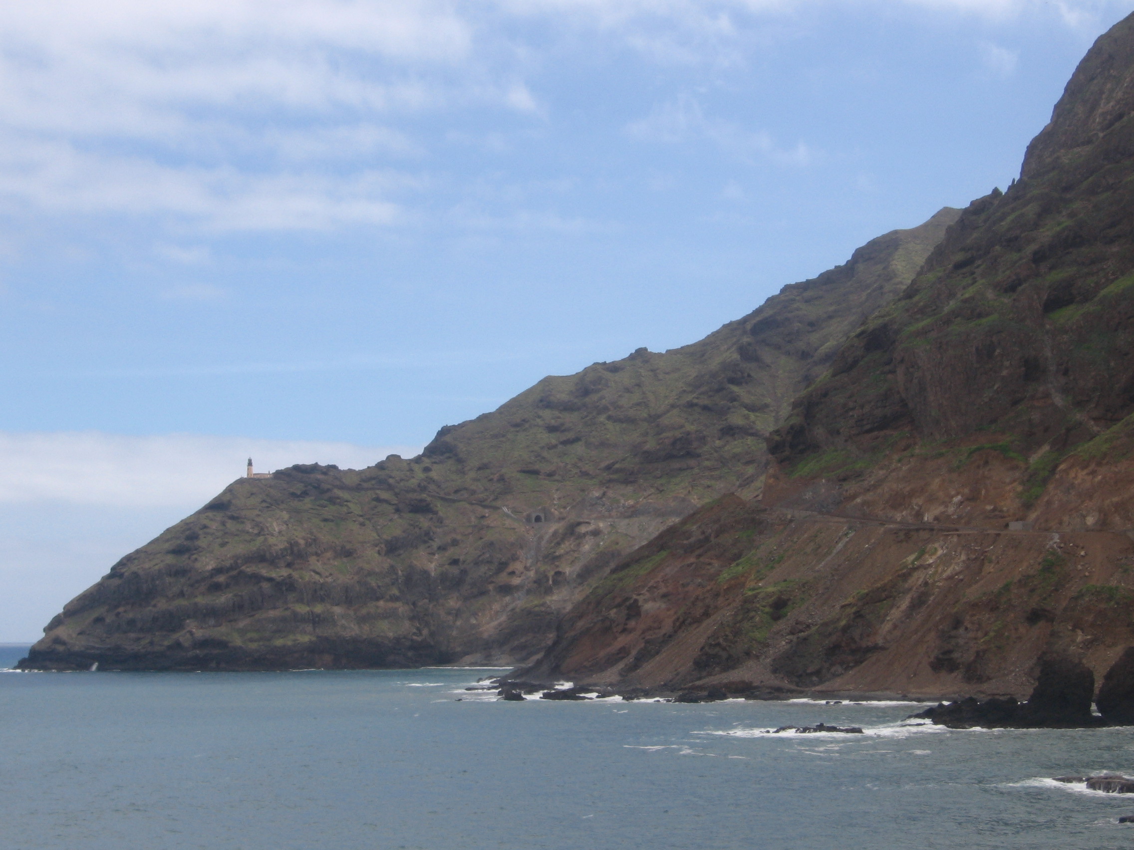
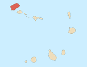
Janela (Portuguese for "window") is a settlement in the eastern part of the island of Santo Antão, Cape Verde. It is situated on the Atlantic coast, 4 km southeast of Pombas and 14 km northeast of the island capital Porto Novo The central village, Pontinha, lies on a rocky peninsula. More villages are situated in the valley of the river Ribeira da Janela. The national road from Porto Novo to Pombas (EN1-SA03) passes through Janela.
Janela | |
|---|---|
Settlement | |
 | |
 Janela | |
| Coordinates: 17.121°N 24.987°W | |
| Country | Cape Verde |
| Island | Santo Antão |
| Municipality | Paul |
| Civil parish | Santo António das Pombas |
| Elevation | 60 m (200 ft) |
| Population (2010)[1] | |
| • Total | 1,658 |
| ID | 12111 |
The easternmost point of Santo Antão, Ponta Salina,[2] lies 4 km southeast of Pontinha. 2 km east of the village is the headland Ponta do Tumbo with the lighthouse Farol de Fontes Pereira de Melo.
See also
- List of villages and settlements in Cape Verde
References
- "2010 Census results". Instituto Nacional de Estatística Cabo Verde (in Portuguese). 24 November 2016.
- Cabo Verde, Statistical Yearbook 2015, Instituto Nacional de Estatística, p. 26
External links
Subdivisions of the island of Santo Antão | |||||||||
|---|---|---|---|---|---|---|---|---|---|
| Paul |
|  | |||||||
| Porto Novo |
| ||||||||
| Ribeira Grande |
| ||||||||
Текст в блоке "Читать" взят с сайта "Википедия" и доступен по лицензии Creative Commons Attribution-ShareAlike; в отдельных случаях могут действовать дополнительные условия.
Другой контент может иметь иную лицензию. Перед использованием материалов сайта WikiSort.org внимательно изучите правила лицензирования конкретных элементов наполнения сайта.
Другой контент может иметь иную лицензию. Перед использованием материалов сайта WikiSort.org внимательно изучите правила лицензирования конкретных элементов наполнения сайта.
2019-2025
WikiSort.org - проект по пересортировке и дополнению контента Википедии
WikiSort.org - проект по пересортировке и дополнению контента Википедии