world.wikisort.org - Canada
Enderby est une cité (city) de Colombie-Britannique. Elle se situe dans l'Okanagan dans la province de la Colombie-Britannique, entre Armstrong et Salmon Arm. Elle se situe approximativement à 80km au nord de Kelowna et à 130km de Kamloops.
Pour l’article homonyme, voir Terre d'Enderby.
Cet article est une ébauche concernant la Colombie-Britannique.
Vous pouvez partager vos connaissances en l’améliorant (comment ?) selon les recommandations des projets correspondants.
| Enderby | |||
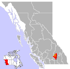 Localisation d'Enderby en Colombie Britannique | |||
| Administration | |||
|---|---|---|---|
| Pays | |||
| Province | Colombie Britannique | ||
| Région | Okanagan | ||
| Statut municipal | cité (city) | ||
| Maire | Howie Cyr | ||
| Constitution | |||
| Démographie | |||
| Population | 2 932 hab. (2011) | ||
| Densité | 695 hab./km2 | ||
| Géographie | |||
| Coordonnées | 50° 33′ 03″ nord, 119° 08′ 24″ ouest | ||
| Superficie | 422 ha = 4,22 km2 | ||
| Localisation | |||
| Géolocalisation sur la carte : Colombie-Britannique
Géolocalisation sur la carte : Colombie-Britannique
| |||
| Liens | |||
| Site web | www.cityofenderby.com/siteengine/activepage.asp | ||
| modifier |
|||

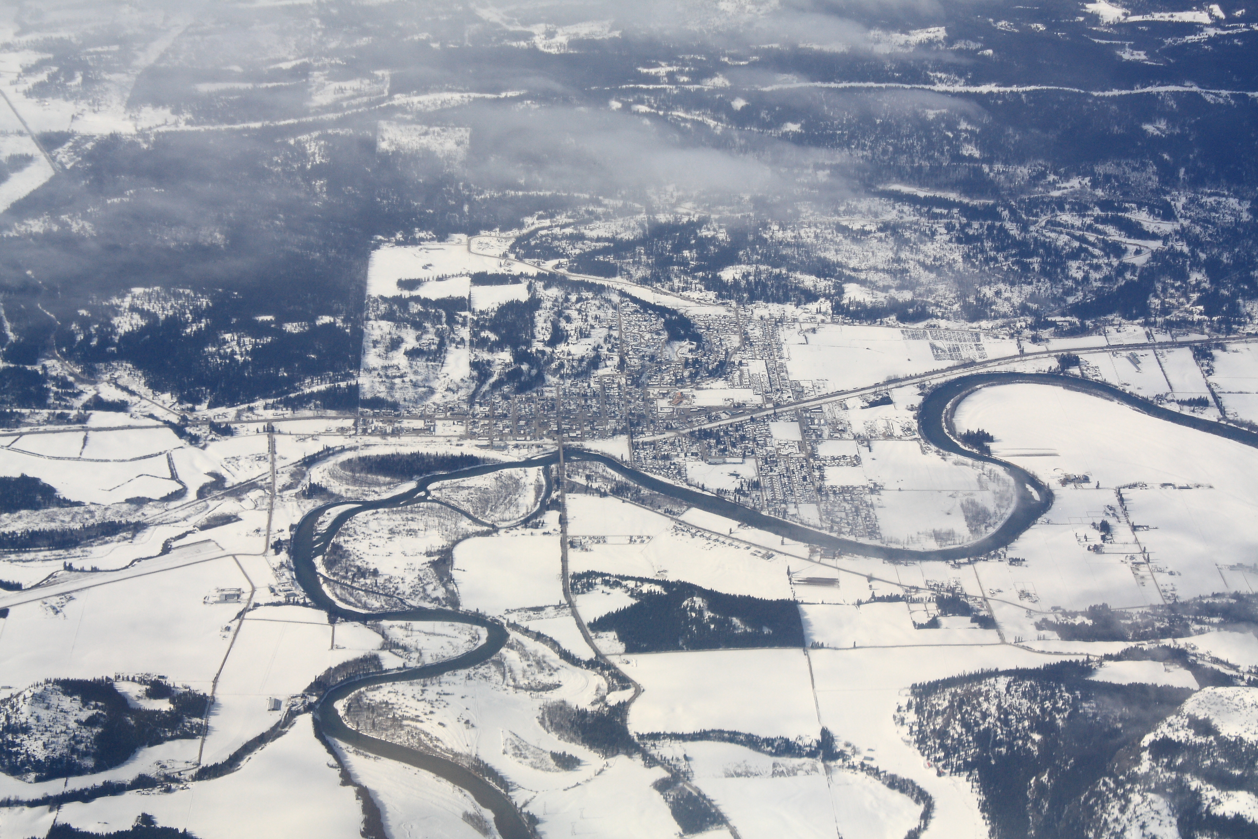
Enderby se situe le long de la rivière Shuswap qui croise le lac Mabel par l'est et croise le lac Mara au nord. Plusieurs petits lacs se situent dans la même région.
La région rurale entourant Enderby est faite des communautés Ashton Creek, Grandview Bench, Grindrod, Kingfisher, Mara, Splatsin Reserve, Springbend et Trinity Valley.
Il y a deux écoles principales à Enderby : M.V. Beattie Elementary School et A.L. Fortune Secondary School. M.V. Beattie Elementary School a été rebâtie en 2012.
Démographie

Notes et références
- (en) Cet article est partiellement ou en totalité issu de l’article de Wikipédia en anglais intitulé « Enderby, British Columbia » (voir la liste des auteurs).
Liens externes
 Portail de la Colombie-Britannique
На других языках
[de] Enderby (British Columbia)
Enderby ist eine Gemeinde im Süden der kanadischen Provinz British Columbia. Die Gemeinde liegt im Interior Plateau, im Regional District of North Okanagan.[en] Enderby, British Columbia
The City of Enderby is in the North Okanagan region of the Canadian province of British Columbia, between Armstrong and Salmon Arm. It is approximately 80 km north of Kelowna and 130 km east of Kamloops. Highway 97A passes through Enderby and the Shuswap River marks the eastern and northeastern limits of the City. There are two major schools in Enderby: M.V. Beattie Elementary School and A.L. Fortune Secondary School. M.V. Beattie Elementary School was rebuilt in 2012.- [fr] Enderby (Colombie-Britannique)
Другой контент может иметь иную лицензию. Перед использованием материалов сайта WikiSort.org внимательно изучите правила лицензирования конкретных элементов наполнения сайта.
WikiSort.org - проект по пересортировке и дополнению контента Википедии