world.wikisort.org - Canada
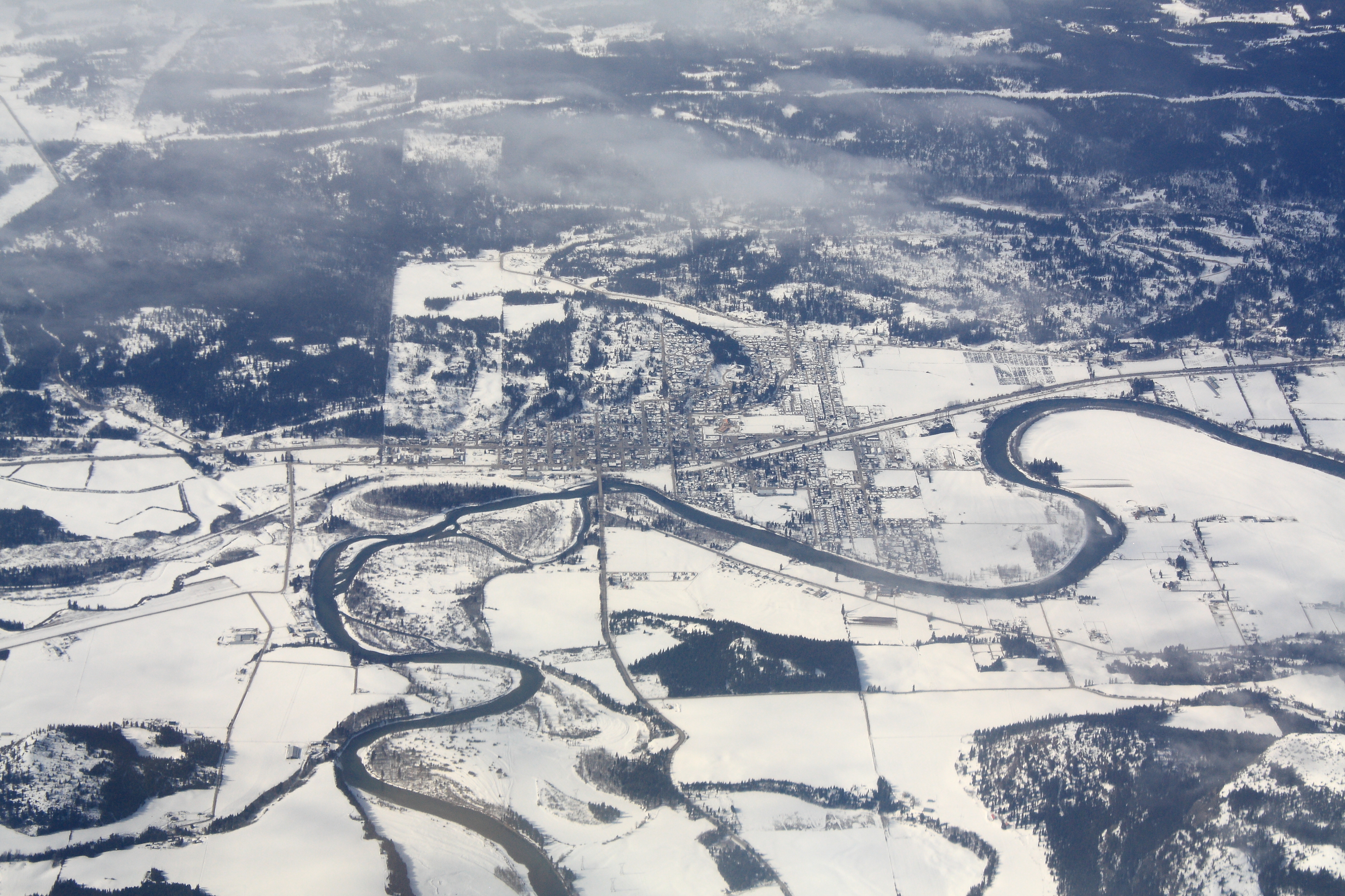
The City of Enderby is in the North Okanagan region of the Canadian province of British Columbia, between Armstrong and Salmon Arm. It is approximately 80 km north of Kelowna and 130 km east of Kamloops. Highway 97A passes through Enderby and the Shuswap River marks the eastern and northeastern limits of the City. There are two major schools in Enderby: M.V. Beattie Elementary School and A.L. Fortune Secondary School. M.V. Beattie Elementary School was rebuilt in 2012.
Enderby | |
|---|---|
City | |
| The Corporation of the City of Enderby | |
 | |
 Enderby Location of Enderby in British Columbia | |
| Coordinates: 50°33′3″N 119°08′23″W | |
| Country | Canada |
| Province | British Columbia |
| Region | Okanagan Shuswap |
| Regional district | North Okanagan |
| Founded | 1866, by Alexander Leslie Fortune (first white settler) |
| Incorporated | 1905 |
| Government | |
| • Governing body | Enderby City Council |
| • Mayor | Greg McCune |
| • MP | Mel Arnold |
| • MLA | Greg Kyllo |
| Area | |
| • City | 4.26 km2 (1.64 sq mi) |
| Elevation | 360 m (1,180 ft) |
| Population (2016) | |
| • City | 2,964 |
| • Density | 700/km2 (1,800/sq mi) |
| • Urban | 2,964[1] |
| Time zone | UTC-8 (PST) |
| Postal code span | V0E |
| Area code(s) | 250, 778, 236, 672 |
| Highways | |
| Waterways | Shuswap River |
| Website | www |
The rural area surrounding Enderby is made up of the communities of Ashton Creek, Grandview Bench, Grindrod, Kingfisher, Mara, Splatsin Reserve, Springbend and Trinity Valley. The rural area is 2,108.46 square kilometres. Several smaller lakes, including Gardom Lake and Hidden Lake, are also located in the area.
History
The first name used for the area was Fortune's Landing after the first landowner in the area and the steamboat stop at his farm. From 1876 the steamboat stopped at the new Lambly brothers' warehouse, and the town became known variously as Lambly's Landing or Steamboat Landing despite the provincial government having named the townsite Belvidere.
In 1887, plans were made for a post office at the town and townsfolk began debating what its formal name should be. That year, the snow melt in the mountains caused a particularly high flood of the Shushwap river in the area. It coincided with a meeting of the town's literary group, and one of the members read the poem "The High Tide on the Coast of Lincolnshire, 1571" by Jean Ingelow about a flood in Lincolnshire, England, of which local inhabitants were warned by the bells of Boston Stump ringing a peal titled "Brides of Enderby".[2][3] Although others were suggested, Enderby was chosen as the most appropriate name.[2] There are three places called Enderby in Lincolnshire, all in East Lindsey district: Bag Enderby, Mavis Enderby and Wood Enderby.
Geography
Latitude-Longitude: 50°33′03.0″N 119°08′22.7″W elevation: 360 metres
Demographics
|
|
| |||||||||||||||||||||||||||||||||||||||||||||||||||||||||
| Sources: Statistics Canada[4] | |||||||||||||||||||||||||||||||||||||||||||||||||||||||||||
In the 2021 Census of Population conducted by Statistics Canada, Enderby had a population of 3,028 living in 1,436 of its 1,508 total private dwellings, a change of 2.2% from its 2016 population of 2,964. With a land area of 4.26 km2 (1.64 sq mi), it had a population density of 710.8/km2 (1,841.0/sq mi) in 2021.[5]
Economy
Agriculture, industry, retail, and tourism are the main components of the economy.
A variety of agricultural and industrial enterprises are located in the area, including dairy farming, cattle ranching, fertilizer and feed production, mills, and value-added wood products. Farms include diverse livestock such as llamas, bison, and deer.
Sports and recreation tourism
Enderby is known for the variety of outdoor activities, including tubefloating, hiking, canoeing and kayaking, golfing, snowmobiling, and cross-country skiing. It is home to the Enderby Memorial Arena and Curling Rink, ball diamonds, and an outdoor public pool.
The Enderby Cliffs, a BC Provincial Park, is a popular hiking destination. Other hiking destinations include Mara Provincial Park and Larch Hills. The Shuswap River is known for its tubefloating, canoeing, and kayaking. It hosted the Canoe Nationals in 2008. The Kingfisher Kayak Rodeo is held annually. There are two golf courses in the area: Mabel Lake Golf & Country Club and Birchdale Golf Course. To the east of Enderby is Hunters Range Trail System, a snowmobile range with approximately 200 square kilometres trails. Also in the area is the Larch Hills Cross Country Ski Trails.
Places of interest
Enderby and the surrounding area is home to the world's largest reel lawnmower, built and hosted by the Deep Creek Tool Museum, and the largest drive-in movie theatre screen in North America at the Starlight Drive-In Theatre. Also located in the area is the Enderby Museum & Archives and the Kingfisher Interpretive Centre, a salmon hatchery and watershed learning centre.
Splatsin Band
The Splatsin Band is the original inhabitant of the area. It is the southernmost tribe of the Secwepemc or Shuswap Nation. The Splatsin Band, occasionally anglicized as "Spallumcheen," is governed by an elected Chief and Council.
In popular culture
On February 17, 2015, Miss P, a 4-year-old Beagle from Enderby, won Best in Show at the 2015 Westminster Kennel Club all-breed dog show at Madison Square Garden in New York.[6]
Notable people
- John Langdon, Royal Marine officer at D-Day, (later became an Anglican priest), was born in Enderby in 1921[7]
References
- Census Profile, 2016 Census Enderby, City (Census subdivision), British Columbia and British Columbia (Province). Statistics Canada. Retrieved July 29, 2017
- Cowan, Bob (1992). "The Naming of Enderby". Enderby Museum. Retrieved August 28, 2018.
- "Enderby". BC Geographical Names.
- "Historical Municipal Census Data: 1921–2011". BC Stats. Retrieved August 25, 2013.
- "Population and dwelling counts: Canada, provinces and territories, and census subdivisions (municipalities), British Columbia". Statistics Canada. February 9, 2022. Retrieved February 20, 2022.
- Vancouver Sun
- "The Rev John Langdon". The Times. 21 November 2015. Retrieved 9 August 2020.
External links
- Official website

 Enderby travel guide from Wikivoyage
Municipalities and communities of Okanagan, British Columbia, Canada | ||
|---|---|---|
| Cities |  | |
| Towns | ||
| Districts |
| |
| Villages | ||
| Designated places |
| |
| Unincorporated communities |
| |
| Indian reserves |
| |
| Ghost towns | ||
| Footnotes | ‡This populated place also has portions in an adjacent region | |
На других языках
[de] Enderby (British Columbia)
Enderby ist eine Gemeinde im Süden der kanadischen Provinz British Columbia. Die Gemeinde liegt im Interior Plateau, im Regional District of North Okanagan.- [en] Enderby, British Columbia
Другой контент может иметь иную лицензию. Перед использованием материалов сайта WikiSort.org внимательно изучите правила лицензирования конкретных элементов наполнения сайта.
WikiSort.org - проект по пересортировке и дополнению контента Википедии