world.wikisort.org - Canada
Salem is a dispersed rural community and unincorporated place in the municipality of Arran–Elderslie, Bruce County in southwestern Ontario, Canada.[1][3][4] The community is in geographic Elderslie Township[5] at the intersection of Concession 10 Elderslie and Sideroad 15 South Elderslie, 10 kilometres (6.2 mi) northwest of the community of Chesley and 9 kilometres (5.6 mi) northeast of the community of Paisley. The community is on Snake Creek, a tributary of the Saugeen River.
Salem | |
|---|---|
Dispersed Rural Community | |
 Salem Location in southern Ontario | |
| Coordinates: 44°21′49″N 81°11′22″W[1] | |
| Country | Canada |
| Province | Ontario |
| County | Bruce |
| Municipality | Arran–Elderslie |
| Elevation | 253 m (830 ft) |
| Time zone | UTC-5 (Eastern Time Zone) |
| • Summer (DST) | UTC-4 (Eastern Time Zone) |
| Postal Code | N0H 1L0 |
| Area code(s) | 519, 226, 548 |
References
- "Salem". Geographical Names Data Base. Natural Resources Canada. Retrieved 2017-03-17.
- Elevation taken at geographic coordinates from Google Maps. Accessed 2017-03-17.
- Map 4 (PDF) (Map). 1 : 700,000. Official road map of Ontario. Ministry of Transportation of Ontario. 2016-01-01. Retrieved 2017-03-17.
- Restructured municipalities - Ontario map #6 (Map). Restructuring Maps of Ontario. Ontario Ministry of Municipal Affairs and Housing. 2006. Retrieved 2017-03-17.
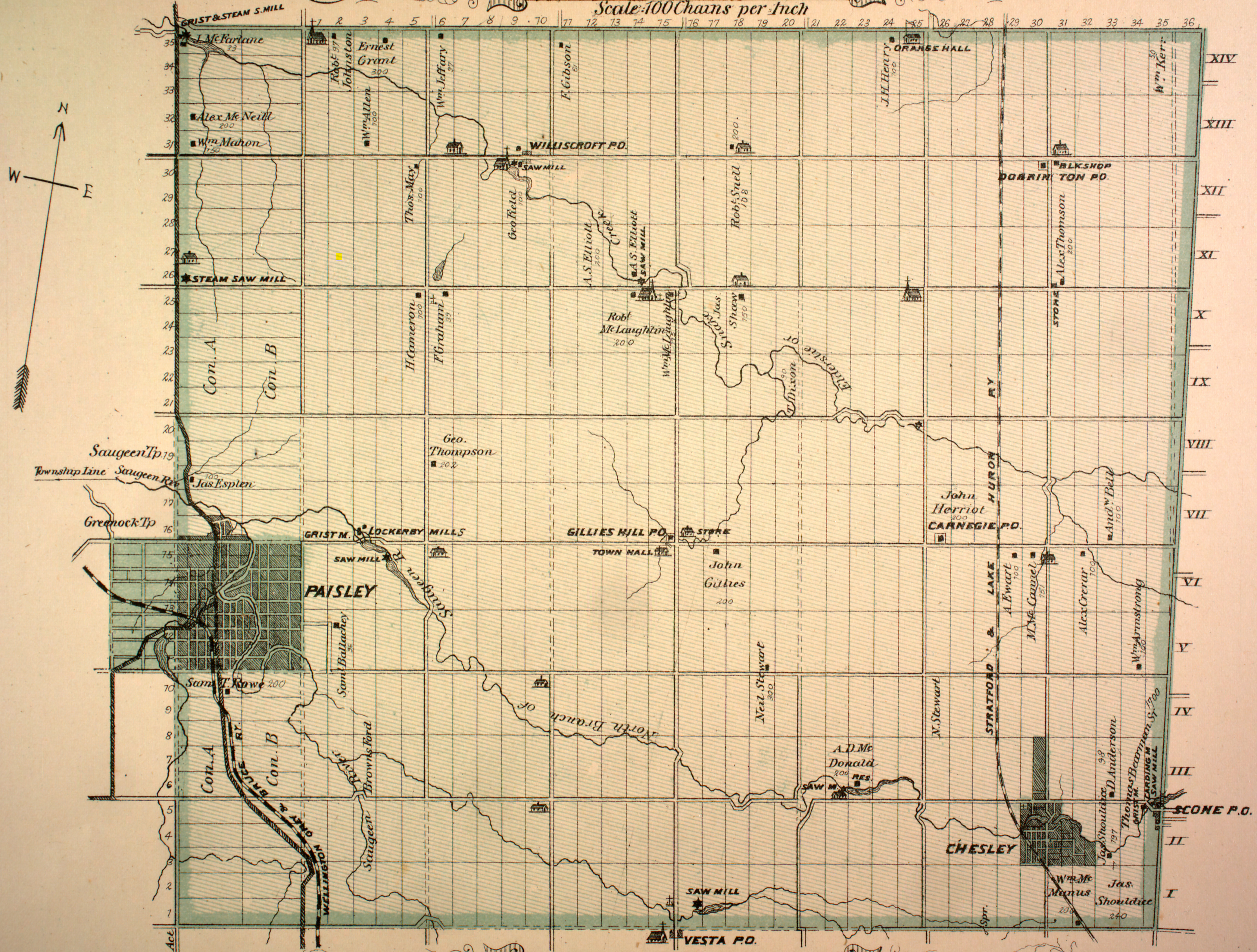
- "Township of Elderslie" (JPG). Canadian County Atlas Project. McGill University. 2001. Retrieved 2017-03-17.
This Southwestern Ontario geographical article is a stub. You can help Wikipedia by expanding it. |
Текст в блоке "Читать" взят с сайта "Википедия" и доступен по лицензии Creative Commons Attribution-ShareAlike; в отдельных случаях могут действовать дополнительные условия.
Другой контент может иметь иную лицензию. Перед использованием материалов сайта WikiSort.org внимательно изучите правила лицензирования конкретных элементов наполнения сайта.
Другой контент может иметь иную лицензию. Перед использованием материалов сайта WikiSort.org внимательно изучите правила лицензирования конкретных элементов наполнения сайта.
2019-2025
WikiSort.org - проект по пересортировке и дополнению контента Википедии
WikiSort.org - проект по пересортировке и дополнению контента Википедии