world.wikisort.org - Canada
The Northern Saskatchewan Administration District (NSAD) is the unorganized area of the Canada province of Saskatchewan. Overwhelmingly larger than the province's other communities, it encompasses approximately half of Saskatchewan's landmass, an area comparable to that of New Zealand. Despite its extent, the majority of Saskatchewanians live in the southern half of the province, and the majority of Northern Saskatchewanians live in incorporated municipalities outside the NSAD's jurisdiction. As a result, the 2016 census counted only 1,115 district residents, which placed its population density at 250 square kilometres for every inhabitant. Because of its extremely sparse population, the district has no local government and is directly subject to the Minister of Government Relations.[1]
Northern Saskatchewan Administration District | |
|---|---|
Unincorporated area | |
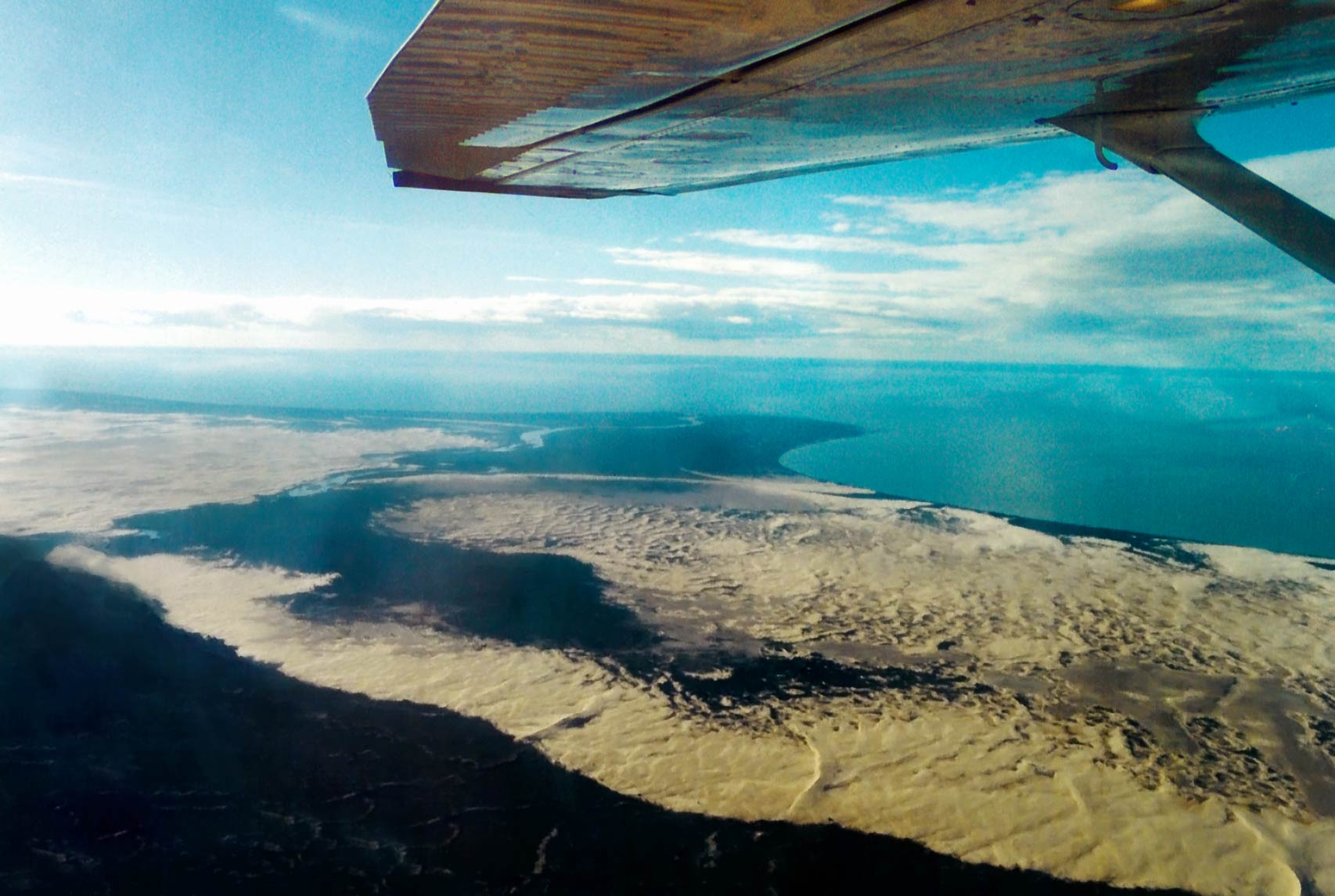 The Athabasca Sand Dunes | |
 Location within Saskatchewan | |
| Country | Canada |
| Province | Saskatchewan |
| Census division | 18 |
| Area | |
| • Total | 269,997.26 km2 (104,246.52 sq mi) |
| Population (2016) | |
| • Total | 1,115 |
| • Density | 0.0041/km2 (0.011/sq mi) |
History
An unincorporated Northern Saskatchewan region was first established by the 1948 Northern Administration Act.[1] In 2020, travel into the NSAD was restricted as part of the Government of Saskatchewan's response to the COVID-19 pandemic.[2]
See also
- Unorganized Yukon, a comparable part of Yukon
- Unincorporated Far West Region of New South Wales, a comparable part of Australia
References
- "Northern Saskatchewan Administration District". Government of Saskatchewan. Retrieved July 29, 2020.
- "Government Announces Supports, Further Travel Restrictions For Northern Saskatchewan". Government of Saskatchewan. April 30, 2020. Retrieved July 29, 2020.
This Saskatchewan location article is a stub. You can help Wikipedia by expanding it. |
Places adjacent to Northern Saskatchewan Administration District | ||||||||||||||||
|---|---|---|---|---|---|---|---|---|---|---|---|---|---|---|---|---|
| ||||||||||||||||
Subdivisions of Saskatchewan | |
|---|---|
| Subdivisions |
|
| Communities |
|
| Cities |
|
| Rural municipalities |
|
| Topics |
|
| |
Division No. 18, Saskatchewan | |||||||
|---|---|---|---|---|---|---|---|
| District |  | ||||||
| Cities |
| ||||||
| Northern towns |
| ||||||
| Northern villages |
| ||||||
| First Nations |
| ||||||
| Indian reserves |
| ||||||
| Unorganized areas |
| ||||||
| Unincorporated communities |
| ||||||
| |||||||
Другой контент может иметь иную лицензию. Перед использованием материалов сайта WikiSort.org внимательно изучите правила лицензирования конкретных элементов наполнения сайта.
WikiSort.org - проект по пересортировке и дополнению контента Википедии