world.wikisort.org - Canada
Hurkett is a dispersed rural community and unincorporated place in the Unorganized part of Thunder Bay District in northwestern Ontario, Canada.[1] It is on Black Bay on the north shore of Lake Superior in geographic Stirling Township,[4] and is on Ontario Highway 582, a short spur off Ontario Highway 17. Hurkett is a designated place served by a local services board,[5] and has a population of 236.[6]
Hurkett | |
|---|---|
Dispersed rural community | |
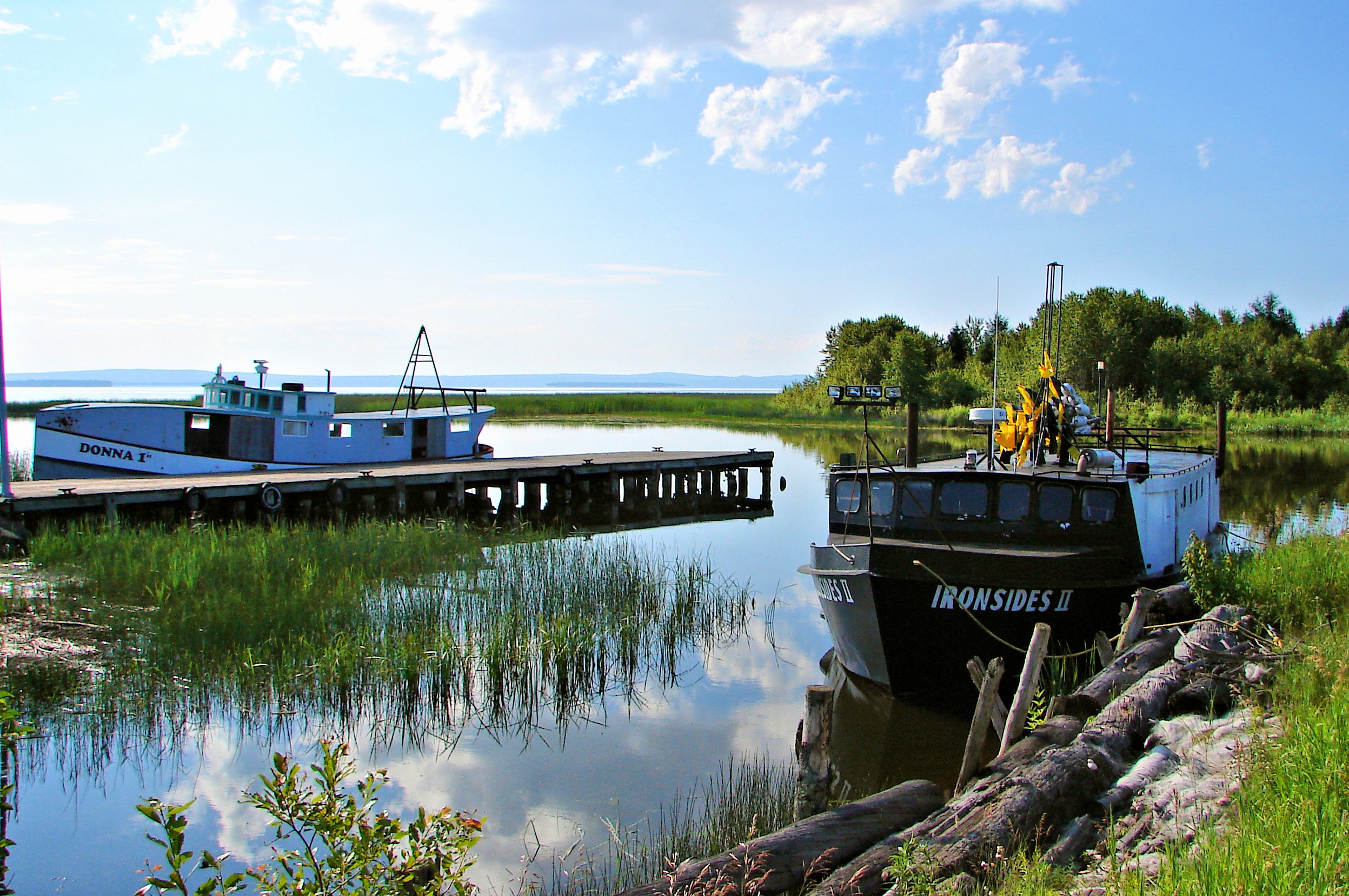 Derelict harbour of Hurkett | |
 Hurkett Location of Hurkett in Ontario | |
| Coordinates: 48°50′57″N 88°29′05″W[1] | |
| Country | Canada |
| Province | Ontario |
| District | Thunder Bay |
| Area | |
| • Total | 52.65 km2 (20.33 sq mi) |
| Elevation | 193 m (633 ft) |
| Population (2011)[2] | |
| • Total | 236 |
| • Density | 4.5/km2 (12/sq mi) |
| Time zone | UTC-5 (Eastern Time Zone) |
| • Summer (DST) | UTC-4 (Eastern Time Zone) |
| Postal code | P0T |
| Area code | 807 |
Demographics
In the 2021 Census of Population conducted by Statistics Canada, Hurkett had a population of 94 living in 51 of its 75 total private dwellings, a change of -56.1% from its 2016 population of 214. With a land area of 53.08 km2 (20.49 sq mi), it had a population density of 1.8/km2 (4.6/sq mi) in 2021.[7]
| 2011 | |
|---|---|
| Population | 236 (-17.2% from 2006) |
| Land area | 52.65 km2 (20.33 sq mi) |
| Population density | 4.5/km2 (12/sq mi) |
| Median age | 49.7 (M: 48.2, F: 50.2) |
| Total private dwellings | 121 |
| Median household income |
See also
- List of unincorporated communities in Ontario
References
- "Hurkett". Geographical Names Data Base. Natural Resources Canada. Retrieved 2015-07-11.
- "Hurkett, Ontario (Code 350027) census profile". 2011 Census of Population. Statistics Canada. Retrieved 2012-09-24.
- Elevation taken from Google Earth at coordinates given in the Infobox. Accessed 2015-07-12.
- "Stirling" (PDF). Geology Ontario - Historic Claim Maps. Ontario Ministry of Northern Development, Mines and Forestry. Archived from the original (PDF) on 2015-09-24. Retrieved 2015-07-12.
- "Local Services Boards, R.R.O. 1990, Reg. 737". Canadian Legal Information Institute. Retrieved 2015-07-12.
- "2011 Community Profiles". 2011 Canadian Census. Statistics Canada. March 21, 2019. Retrieved 2015-07-12.
- "Population and dwelling counts: Canada and designated places". Statistics Canada. February 9, 2022. Retrieved Sep 2, 2022.
- "2006 Community Profiles". 2006 Canadian Census. Statistics Canada. August 20, 2019.
- "2001 Community Profiles". 2001 Canadian Census. Statistics Canada. July 18, 2021.
Other map sources:
- Map 13 (PDF) (Map). 1 : 1,600,000. Official road map of Ontario. Ministry of Transportation of Ontario. 2014. Retrieved 2015-07-12.
- Restructured municipalities - Ontario map #2 (Map). Restructuring Maps of Ontario. Ontario Ministry of Municipal Affairs and Housing. 2006. Retrieved 2015-07-12.

This Northern Ontario geographical article is a stub. You can help Wikipedia by expanding it. |
Другой контент может иметь иную лицензию. Перед использованием материалов сайта WikiSort.org внимательно изучите правила лицензирования конкретных элементов наполнения сайта.
WikiSort.org - проект по пересортировке и дополнению контента Википедии