world.wikisort.org - Brazil
Taguatinga is an administrative region in the Federal District in Brazil.
Taguatinga | |
|---|---|
Administrative region | |
| Região Administrativa de Taguatinga Administrative Region of Taguatinga | |
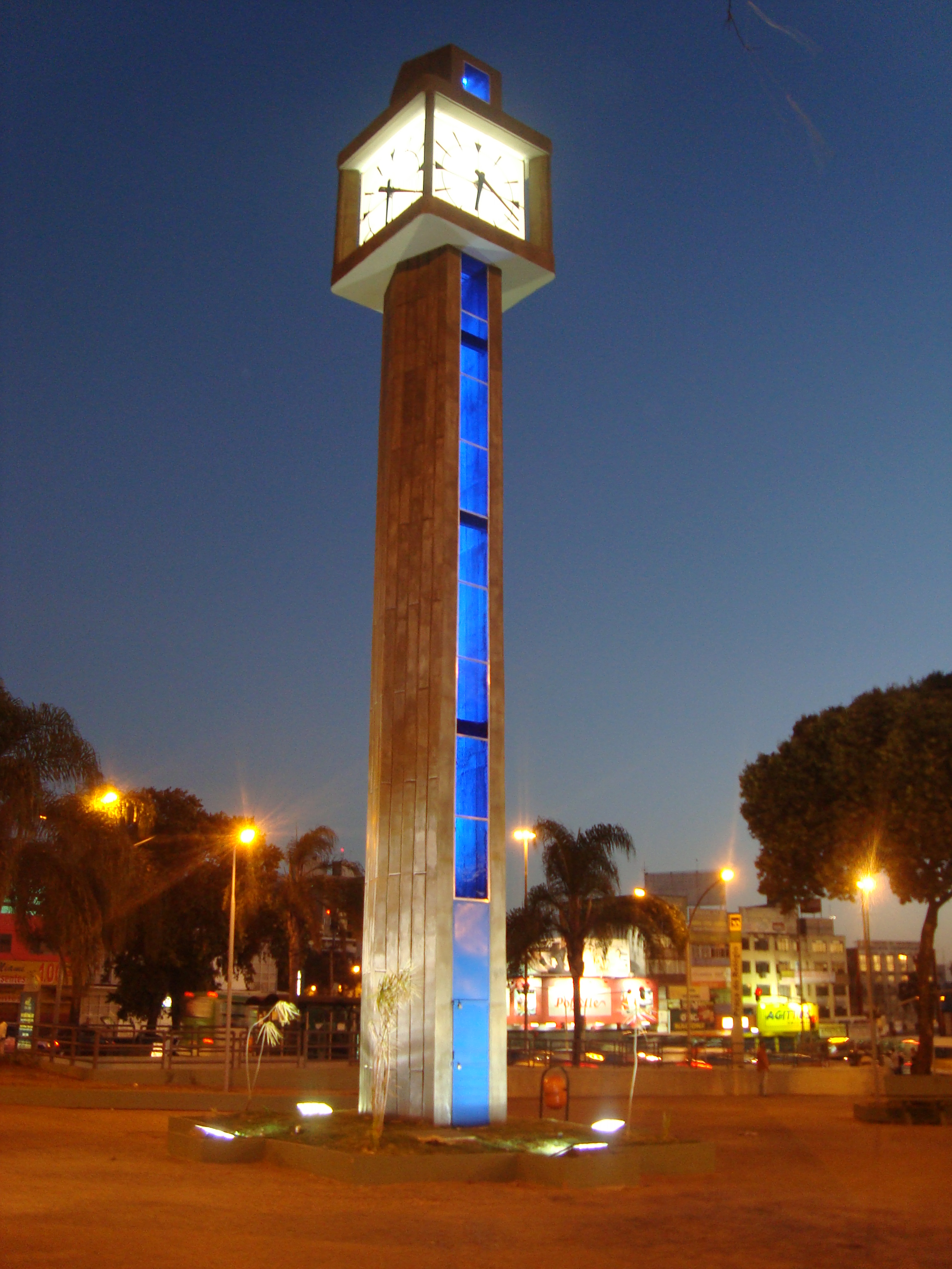 Partial view of Praça do Relógio in downtown Taguatinga | |
 Flag | |
| Nickname(s): Taguá City | |
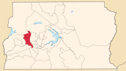 Location of Taguatinga in the Federal District | |
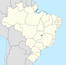
 Taguatinga Location of Taguatinga in Brazil | |
| Coordinates: 15°50′00″S 48°03′23″W | |
| Country | |
| Region | Central-West |
| State | |
| Founded | June 05, 1958 |
| Government | |
| • Regional administrator | Karolyne Guimarães dos Santos[1] |
| Area | |
| • Total | 121.34 km2 (46.85 sq mi) |
| Elevation | 1,000 m (3,000 ft) |
| Population (2010)[2] | |
| • Total | 221,909 |
| • Density | 1,828.8/km2 (4,737/sq mi) |
| Demonym(s) | Taguatinguense |
| Time zone | UTC−3 (BRT) |
| Postal Code (CEP) | 72000-000 |
| Area code(s) | +55 61 |
| Website | www.taguatinga.df.gov.br |
History
By around 1749, near the Córrego Cortado, appeared a small settlement, formed by pioneers and drovers who sought to establish allotments in the Captaincy of Goiás, this was the first landing of the white man in the land of the future city of Taguatinga previously occupied by indigenous macro-Ge linguistic branch, as acroás, the xacriabás, the xavantes, the kayapos, the javaés, etc. However, some of these adventurers settled excited by the possibility of gold and diamonds, near the Cut. On the banks of the same stream was installed the farmhouse Taguatinga, owned by Gabriel da Cruz Miranda. In 1781, the farm Taguatinga was sold to Antonio Couto de Abreu, son of the Bandeirante and Urban Couto e Menezes.
The consolidation of the city took place much later, almost two centuries after this period, mainly generated by large populations attracted by the construction of Brasília.
With the transfer of the capital of Brazil into the country, many workers moved from all regions to build the new capital, however, decided to make his home there too. But how were poor, invaded land and built huts, revealing to a country establishing its rapid development in the reality of poverty in which they lived their population.
To contain the constant invasions on land near the capital, the city Taguatinga was created on June 5, 1958, on land which previously belonged to the Farm Taguatinga. Initially, the city was called "Villa Sarah Kubitschek" but then its name was changed to "Santa Cruz de Taguatinga", leaving only "Taguatinga". Often it is called by locals simply of "Taguá".
A few months after the first residents have moved to Taguatinga, already worked in local schools; hospitals; shops, etc. It was the beginning of settlement then the first satellite city of Brasília.
Taguatinga has developed especially in function of commerce and jobs that its population obtained. It became an important commercial center in the Federal District and pole of attraction for the population of nearby cities, harboring large shopping centers. Taguatinga today is one of the richest regions of the Federal District, today being is considered the economic capital of the Federal District.
Some cities that were formerly part of the administrative region of Taguatinga are: Ceilândia, Samambaia, Águas Claras and Vicente Pires.
The patron saint is Our Lady of Perpetual Help, which lithurgic celebration happens at June 27.
See also
- List of administrative regions of the Federal District
References
- "Perfil da administradora" (in Portuguese). Administração Regional de Taguatinga, DF. Retrieved 2015-01-01.
- "Pesquisa Distrital por Amostra de Domicílios - 2010/2011" (PDF) (in Portuguese). Codeplan. Retrieved 2012-08-20.[permanent dead link]
External links
| Wikimedia Commons has media related to Taguatinga, Federal District. |
Seat of government: Brasília | ||||||||
|  | |||||||
Authority control | |
|---|---|
| General |
|
| National libraries | |
This Federal District, Brazil geography article is a stub. You can help Wikipedia by expanding it. |
Другой контент может иметь иную лицензию. Перед использованием материалов сайта WikiSort.org внимательно изучите правила лицензирования конкретных элементов наполнения сайта.
WikiSort.org - проект по пересортировке и дополнению контента Википедии