world.wikisort.org - Belgium
Haaltert (Dutch pronunciation: [ˈɦaːltərt]) is a municipality located in the Belgian province of East Flanders in the Denderstreek. The municipality comprises the towns of Denderhoutem, Haaltert proper, Heldergem and Kerksken. In 2021, Haaltert had a total population of 18,892. The total area is 30.30 km².[2] The current mayor of Haaltert is Veerle Baeyens, from the N-VA.
Haaltert | |
|---|---|
Municipality | |
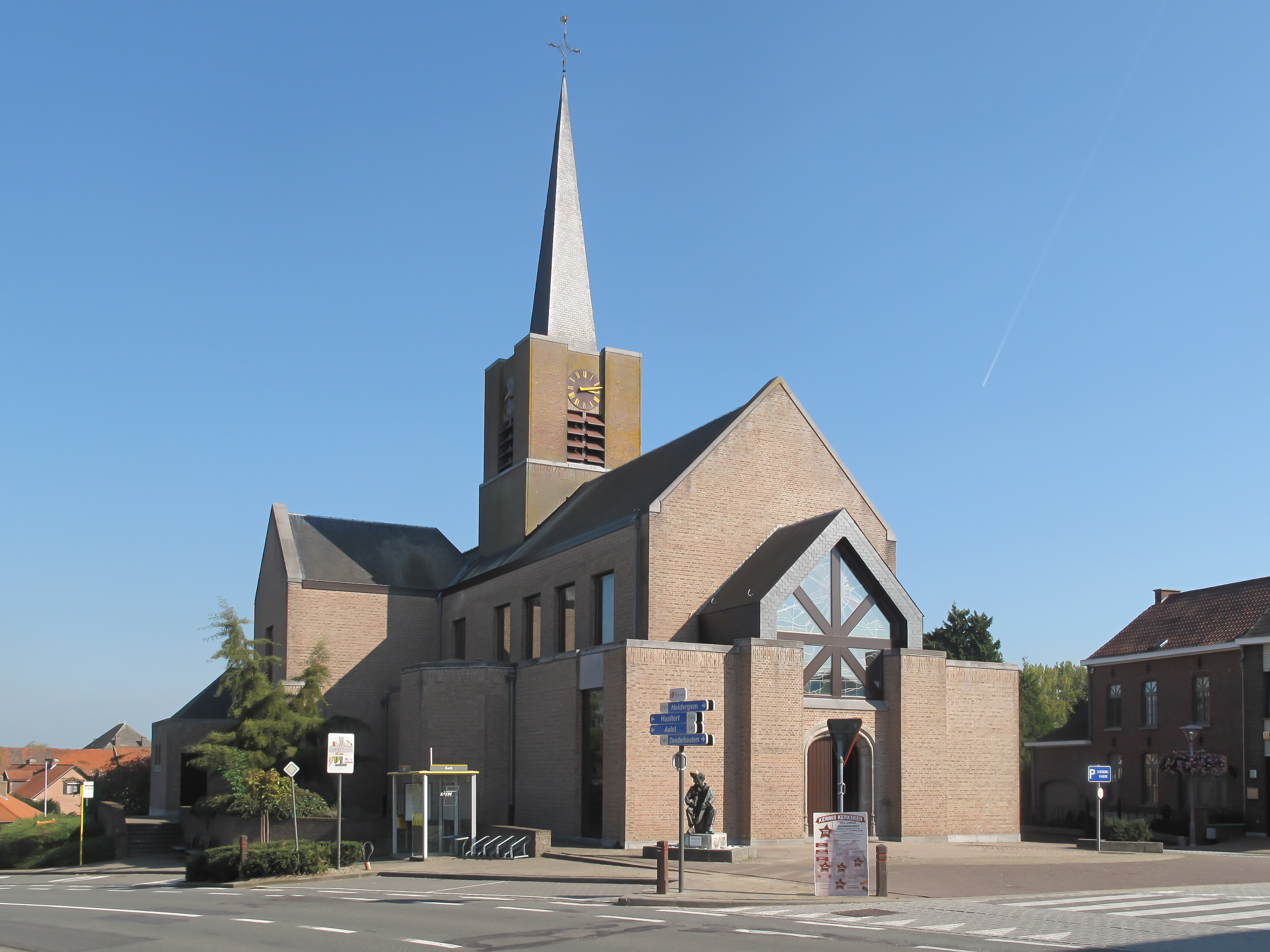
 Kerksken | |
 Flag  Coat of arms | |
 Haaltert Location in Belgium
Location of Haaltert in East Flanders  | |
| Coordinates: 50°54′N 04°00′E | |
| Country | Belgium |
| Community | Flemish Community |
| Region | Flemish Region |
| Province | East Flanders |
| Arrondissement | Aalst |
| Government | |
| • Mayor | Veerle Baeyens (N-VA) |
| • Governing party/ies | N-VA, CD&V, Vooruit |
| Area | |
| • Total | 30.30 km2 (11.70 sq mi) |
| Population (2018-01-01)[1] | |
| • Total | 18,443 |
| • Density | 610/km2 (1,600/sq mi) |
| Postal codes | 9450, 9451 |
| Area codes | 053 |
| Website | www.haaltert.be |
There is a 205 hectare nature reserve Den Dotter in the sub-municipalities of Aaigem (municipality Erpe-Mere) and Heldergem (municipality Haaltert). Haaltert is crossed by the Molenbeek-Ter Erpenbeek creek in Heldergem, Kerksken, and Haaltert.
Gallery
 Saint Gorik church
 Kerksken, church
 Statue of Priest Daens in Ede


References
- "Wettelijke Bevolking per gemeente op 1 januari 2018". Statbel. Retrieved 9 March 2019.
- "Bevolking per statistische sector - Sector 41024". Statistics Belgium. Retrieved 9 May 2022.
External links
- Official website (in Dutch)
 Media related to Haaltert at Wikimedia Commons
Places adjacent to Haaltert | ||||||||||||||||
|---|---|---|---|---|---|---|---|---|---|---|---|---|---|---|---|---|
| ||||||||||||||||
Municipalities in the Province of East Flanders, Flanders, Belgium | ||
|---|---|---|
| Aalst |
|  |
| Dendermonde |
| |
| Eeklo |
| |
| Ghent |
| |
| Oudenaarde | ||
| Sint-Niklaas |
| |
| Authority control |
|
|---|
This East Flanders location article is a stub. You can help Wikipedia by expanding it. |
На других языках
[de] Haaltert
Haaltert ist eine belgische Gemeinde in die Denderstreek in der Region Flandern mit 18.582 Einwohnern (Stand 1. Januar 2020). Sie besteht aus dem Kernort und den Ortsteilen Denderhoutem, Heldergem und Kerksken.- [en] Haaltert
Текст в блоке "Читать" взят с сайта "Википедия" и доступен по лицензии Creative Commons Attribution-ShareAlike; в отдельных случаях могут действовать дополнительные условия.
Другой контент может иметь иную лицензию. Перед использованием материалов сайта WikiSort.org внимательно изучите правила лицензирования конкретных элементов наполнения сайта.
Другой контент может иметь иную лицензию. Перед использованием материалов сайта WikiSort.org внимательно изучите правила лицензирования конкретных элементов наполнения сайта.
2019-2026
WikiSort.org - проект по пересортировке и дополнению контента Википедии
WikiSort.org - проект по пересортировке и дополнению контента Википедии