world.wikisort.org - Austria
Zell am Ziller is a municipality in the Schwaz district in the Austrian state of Tyrol. The name derives from the river Ziller.
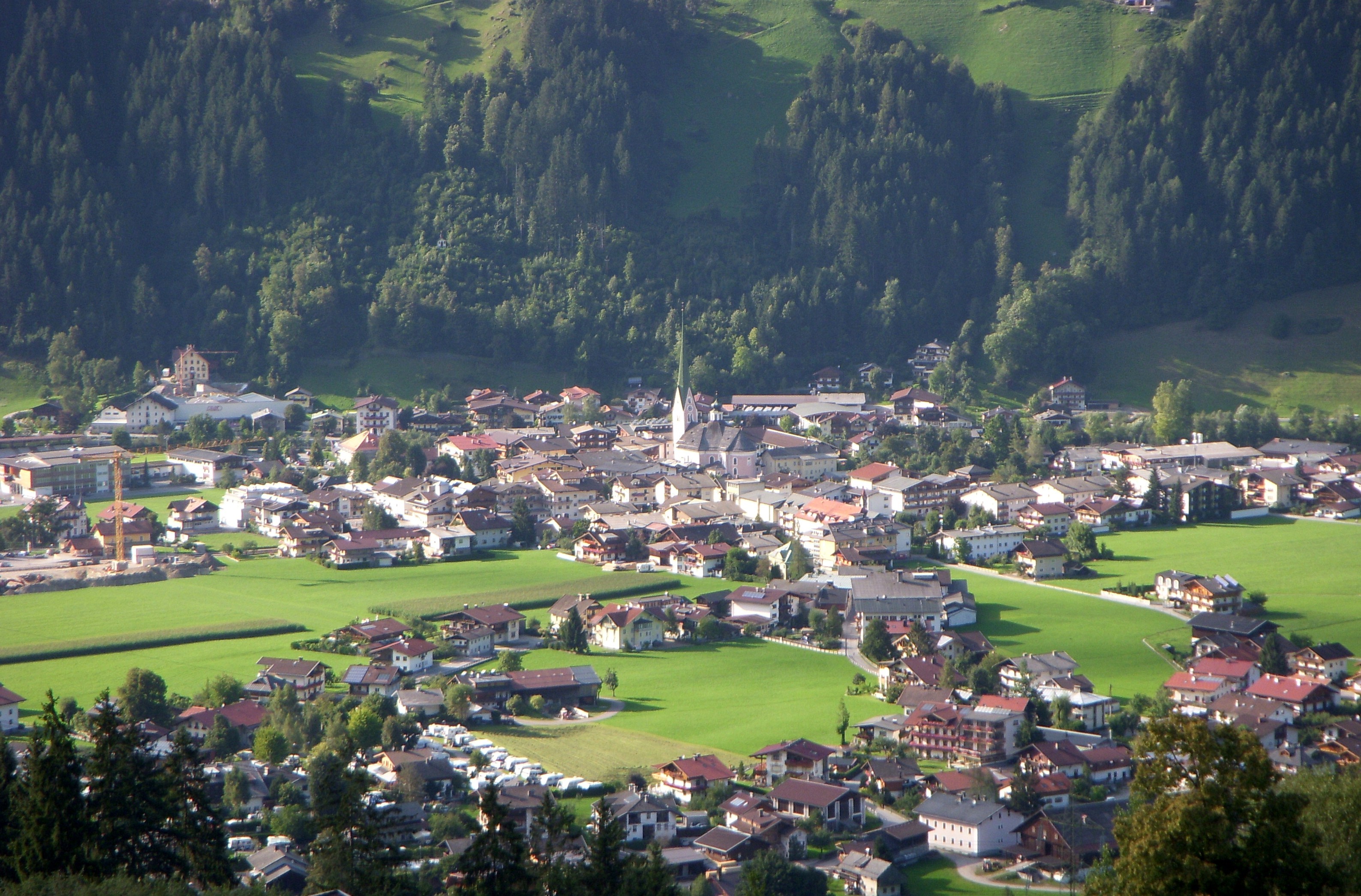
Zell am Ziller | |
|---|---|
 Zell am Ziller | |
 Coat of arms | |
 Zell am Ziller Location within Austria | |
| Coordinates: 47°13′59″N 11°52′55″E | |
| Country | Austria |
| State | Tyrol |
| District | Schwaz |
| Government | |
| • Mayor | Robert Pramstrahler |
| Area | |
| • Total | 2.44 km2 (0.94 sq mi) |
| Elevation | 575 m (1,886 ft) |
| Population (2018-01-01)[2] | |
| • Total | 1,758 |
| • Density | 720/km2 (1,900/sq mi) |
| Time zone | UTC+1 (CET) |
| • Summer (DST) | UTC+2 (CEST) |
| Postal code | 6280 |
| Area code | 05282 |
| Vehicle registration | SZ |
| Website | www.zell-am-ziller. tirol.gv.at |
Climate
| Climate data for Zell am Ziller (1971–2000) | |||||||||||||
|---|---|---|---|---|---|---|---|---|---|---|---|---|---|
| Month | Jan | Feb | Mar | Apr | May | Jun | Jul | Aug | Sep | Oct | Nov | Dec | Year |
| Record high °C (°F) | 16.9 (62.4) |
17.6 (63.7) |
24.0 (75.2) |
27.0 (80.6) |
30.2 (86.4) |
35.1 (95.2) |
36.5 (97.7) |
35.3 (95.5) |
30.7 (87.3) |
27.8 (82.0) |
21.0 (69.8) |
19.4 (66.9) |
36.5 (97.7) |
| Average high °C (°F) | 1.8 (35.2) |
4.5 (40.1) |
10.3 (50.5) |
14.3 (57.7) |
19.6 (67.3) |
21.8 (71.2) |
24.2 (75.6) |
23.7 (74.7) |
20.2 (68.4) |
14.9 (58.8) |
7.0 (44.6) |
2.0 (35.6) |
13.7 (56.7) |
| Daily mean °C (°F) | −2.8 (27.0) |
−1.1 (30.0) |
3.6 (38.5) |
7.3 (45.1) |
12.2 (54.0) |
14.8 (58.6) |
17.0 (62.6) |
16.4 (61.5) |
13.0 (55.4) |
7.9 (46.2) |
1.9 (35.4) |
−2.2 (28.0) |
7.3 (45.1) |
| Average low °C (°F) | −6.4 (20.5) |
−5.0 (23.0) |
−1.1 (30.0) |
2.2 (36.0) |
6.4 (43.5) |
9.5 (49.1) |
11.5 (52.7) |
11.2 (52.2) |
8.2 (46.8) |
3.7 (38.7) |
−1.5 (29.3) |
−5.4 (22.3) |
2.8 (37.0) |
| Record low °C (°F) | −24.0 (−11.2) |
−16.5 (2.3) |
−20.0 (−4.0) |
−5.7 (21.7) |
−4.5 (23.9) |
1.0 (33.8) |
0.7 (33.3) |
2.8 (37.0) |
−2.4 (27.7) |
−6.0 (21.2) |
−14.5 (5.9) |
−24.0 (−11.2) |
−24.0 (−11.2) |
| Average precipitation mm (inches) | 58.0 (2.28) |
44.4 (1.75) |
56.6 (2.23) |
72.1 (2.84) |
94.8 (3.73) |
135.1 (5.32) |
159.5 (6.28) |
143.1 (5.63) |
98.1 (3.86) |
63.3 (2.49) |
73.5 (2.89) |
71.6 (2.82) |
1,070.1 (42.13) |
| Average snowfall cm (inches) | 10.3 (4.1) |
14.8 (5.8) |
8.1 (3.2) |
0.8 (0.3) |
0.3 (0.1) |
0.0 (0.0) |
0.0 (0.0) |
0.0 (0.0) |
0.0 (0.0) |
0.0 (0.0) |
5.7 (2.2) |
17.4 (6.9) |
57.4 (22.6) |
| Average precipitation days (≥ 1.0 mm) | 8.2 | 7.4 | 9.5 | 11.0 | 12.2 | 15.2 | 15.4 | 14.5 | 10.6 | 8.9 | 9.4 | 9.5 | 131.8 |
| Average relative humidity (%) (at 14:00) | 73.6 | 60.9 | 51.1 | 49.1 | 49.2 | 53.0 | 53.0 | 55.5 | 56.1 | 57.7 | 68.5 | 79.7 | 59.0 |
| Mean monthly sunshine hours | 42.9 | 79.1 | 118.2 | 124.5 | 159.9 | 151.1 | 172.2 | 164.1 | 143.1 | 117.6 | 59.5 | 41.6 | 1,373.8 |
| Percent possible sunshine | 38.3 | 48.7 | 53.6 | 45.7 | 48.4 | 46.3 | 52.5 | 54.9 | 60.5 | 61.1 | 47.0 | 48.5 | 50.5 |
| Source: Central Institute for Meteorology and Geodynamics[3] | |||||||||||||
Population
| Year | Pop. | ±% |
|---|---|---|
| 1869 | 845 | — |
| 1880 | 810 | −4.1% |
| 1890 | 661 | −18.4% |
| 1900 | 750 | +13.5% |
| 1910 | 969 | +29.2% |
| 1923 | 961 | −0.8% |
| 1934 | 1,088 | +13.2% |
| 1939 | 1,153 | +6.0% |
| 1951 | 1,465 | +27.1% |
| 1961 | 1,510 | +3.1% |
| 1971 | 1,882 | +24.6% |
| 1981 | 1,865 | −0.9% |
| 1991 | 1,802 | −3.4% |
| 2001 | 1,884 | +4.6% |
| 2011 | 1,722 | −8.6% |
Facilities
The Zillertal Arena was formed in 2000 from a merger of the ski areas of Zell, Gerlos and Königsleiten and is the largest ski area in the Ziller valley. It is accessed by the Rosenalmbahn and, since the 2010/11 season, by the Karspitzbahn, whose valley station is located in the parish of Zell. Several ski bus companies operate in Zell am Ziller during the skiing season. When there is sufficient snow, cross-country skiing trails are cut at Ziller (both classic and, in some cases, skating).
References
- "Dauersiedlungsraum der Gemeinden Politischen Bezirke und Bundesländer - Gebietsstand 1.1.2018". Statistics Austria. Retrieved 10 March 2019.
- "Einwohnerzahl 1.1.2018 nach Gemeinden mit Status, Gebietsstand 1.1.2018". Statistics Austria. Retrieved 9 March 2019.
- "Klimadaten von Österreich 1971–2000 – Tirol-Zell Am Ziller" (in German). Central Institute for Meteorology and Geodynamics. Archived from the original on 12 October 2019. Retrieved 25 October 2019.
Wikimedia Commons has media related to Zell am Ziller.
Authority control | |
|---|---|
| General | |
| National libraries | |
| Other |
|
This Tyrol location article is a stub. You can help Wikipedia by expanding it. |
На других языках
[de] Zell am Ziller
Zell am Ziller ist eine Marktgemeinde mit 1697 Einwohnern (Stand 1. Jänner 2022) im Zillertal im Bezirk Schwaz in Tirol in Österreich.- [en] Zell am Ziller
[ru] Целль-ам-Циллер
Целль-ам-Циллер[1] (нем. Zell am Ziller) — ярмарочная коммуна (нем. Marktgemeinde) в Австрии, в федеральной земле Тироль.Текст в блоке "Читать" взят с сайта "Википедия" и доступен по лицензии Creative Commons Attribution-ShareAlike; в отдельных случаях могут действовать дополнительные условия.
Другой контент может иметь иную лицензию. Перед использованием материалов сайта WikiSort.org внимательно изучите правила лицензирования конкретных элементов наполнения сайта.
Другой контент может иметь иную лицензию. Перед использованием материалов сайта WikiSort.org внимательно изучите правила лицензирования конкретных элементов наполнения сайта.
2019-2026
WikiSort.org - проект по пересортировке и дополнению контента Википедии
WikiSort.org - проект по пересортировке и дополнению контента Википедии