world.wikisort.org - Austria
Tarsdorf is a municipality in the district of Braunau am Inn in the Austrian state Upper Austria.
This article may be expanded with text translated from the corresponding article in German. (December 2020) Click [show] for important translation instructions.
|
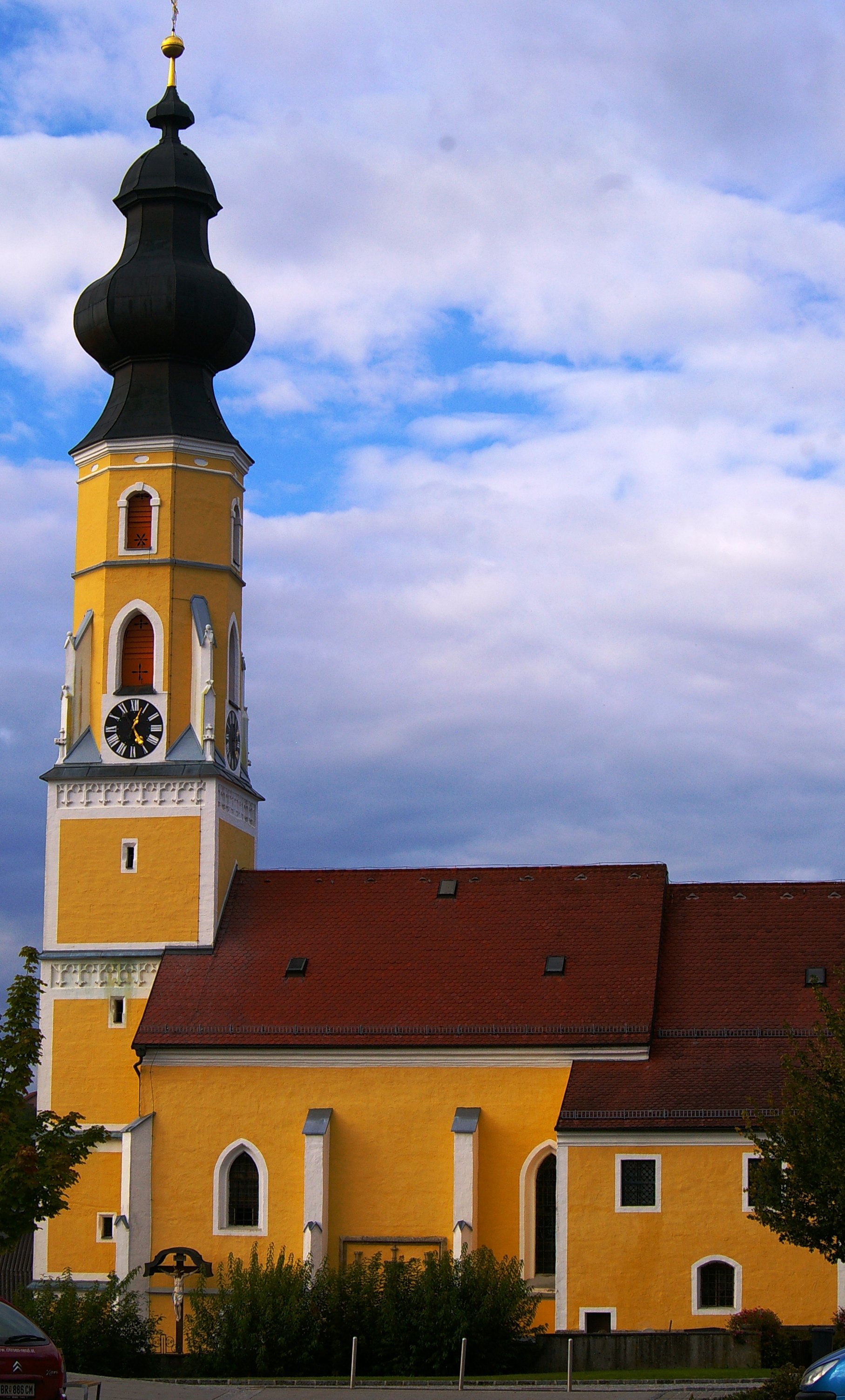
Tarsdorf | |
|---|---|
 | |
 Coat of arms | |
 Tarsdorf Location within Austria | |
| Coordinates: 48°04′48″N 12°49′33″E | |
| Country | Austria |
| State | Upper Austria |
| District | Braunau am Inn |
| Government | |
| • Mayor | Andrea Holzner (ÖVP) |
| Area | |
| • Total | 32.34 km2 (12.49 sq mi) |
| Elevation | 429 m (1,407 ft) |
| Population (2018-01-01)[2] | |
| • Total | 2,068 |
| • Density | 64/km2 (170/sq mi) |
| Time zone | UTC+1 (CET) |
| • Summer (DST) | UTC+2 (CEST) |
| Postal code | 5121 |
| Area code | 06278 |
| Vehicle registration | BR |
| Website | www.tarsdorf.at |
Geography
Tarsdorf is located in the Innviertel. Situated at an altitude of 429 metres (1,407 ft), the municipality covers an area of 32.2 km² (12.4 mi²), measuring 7.1 km (4.4 mi) from north to south and 6.8 km (4.2 mi) from east to west. 37.9% of the land is forested, while 54.7% is used for agriculture. The Filzmoos, a raised bog, is located within the municipality.
Villages
The villages in the municipity are (with population in brackets as at 1 Jan 2020):
- Am Anger (69)
- Döstling (50)
- Eckldorf 57
- Ehersdorf (203)
- Eichbichl (83)
- Fugging (106)
- Haid (48)
- Hofstadt (89)
- Hofweiden (124)
- Hörndl (243)
- Hucking (59)
- Leithen (76)
- Neues Dorf (82)
- Ölling (18)
- Schmidham (38)
- Sensberg (53)
- Sinzing (4)
- Staig (28)
- Tarsdorf (481)
- Wimm (1)
- Winham (52)
- Wolfing (45)
- Wupping (51)
History
Finds in the Weilhart Forest indicate that the Tarsdorf area had already been settled by the Neolithic. Burial mounds from the Hallstatt period have been discovered. The area was settled by Celts around 500 BCE.
In the Roman era, the road from Salzburg to Burghausen led through Tarsdorf. It ran through Hofweiden, Tarsdorf and Hörndl. The remains of a rustic villa, a millstone, shards of bowls, bricks from an underfloor heating system, pieces of plaster and a silver coin, all dating back to the first four centuries CE, have been discovered between Hofweiden and Tarsdorf.
In the sixth centuries the immigrating Bajuwars, ancestors of today's Bavarians, cleared large parts of the Weilhart-forest.
Population Development
| Year | Population |
|---|---|
| 1869 | 1.115 |
| 1880 | 1.128 |
| 1890 | 1.172 |
| 1900 | 1.246 |
| 1910 | 1.231 |
| 1923 | 1.259 |
| 1934 | 1.274 |
| 1939 | 1.202 |
| 1951 | 1.380 |
| 1961 | 1.343 |
| 1971 | 1.517 |
| 1981 | 1.652 |
| 1991 | 1.793 |
| 2001 | 1.938 |
| 2011 | 1.998 |
| 2020 | 2.060 |
Notable People
- Richard Puchner (1883-1965), architect and builder
- Georg Dechant (1884-1953), politician, farmer and landlord
References
- "Dauersiedlungsraum der Gemeinden Politischen Bezirke und Bundesländer - Gebietsstand 1.1.2018". Statistics Austria. Retrieved 10 March 2019.
- "Einwohnerzahl 1.1.2018 nach Gemeinden mit Status, Gebietsstand 1.1.2018". Statistics Austria. Retrieved 9 March 2019.
External links
 Media related to Tarsdorf at Wikimedia Commons

Authority control | |
|---|---|
| General |
|
| National libraries | |
This Upper Austria location article is a stub. You can help Wikipedia by expanding it. |
На других языках
[de] Tarsdorf
Tarsdorf ist eine Gemeinde mit 2115 Einwohnern (Stand 1. Jänner 2022) im Westen des oberösterreichischen Bezirks Braunau am Inn im Innviertel.- [en] Tarsdorf
[ru] Тарсдорф
Тарсдорф (нем. Tarsdorf) — коммуна (нем. Gemeinde) в Австрии, в федеральной земле Верхняя Австрия.Другой контент может иметь иную лицензию. Перед использованием материалов сайта WikiSort.org внимательно изучите правила лицензирования конкретных элементов наполнения сайта.
WikiSort.org - проект по пересортировке и дополнению контента Википедии