world.wikisort.org - Austria
Hollabrunn (German pronunciation: [hɔlaˈbʁʊn] (![]() listen)) is a district capital town in the Austrian state of Lower Austria, on the Göllersbach river.
listen)) is a district capital town in the Austrian state of Lower Austria, on the Göllersbach river.
This article may be expanded with text translated from the corresponding article in German. (April 2010) Click [show] for important translation instructions.
|
Hollabrunn | |
|---|---|
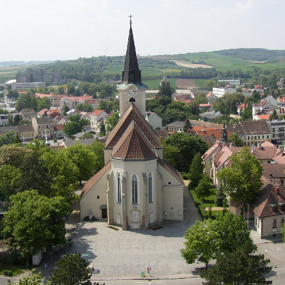 The parish church of Hollabrunn | |
 Coat of arms | |
 Hollabrunn Location within Austria | |
| Coordinates: 48°34′N 16°6′E | |
| Country | Austria |
| State | Lower Austria |
| District | Hollabrunn |
| Government | |
| • Mayor | Alfred Babinsky (ÖVP) |
| Area | |
| • Total | 152.37 km2 (58.83 sq mi) |
| Elevation | 236 m (774 ft) |
| Population (2018-01-01)[2] | |
| • Total | 11,681 |
| • Density | 77/km2 (200/sq mi) |
| Time zone | UTC+1 (CET) |
| • Summer (DST) | UTC+2 (CEST) |
| Postal code | 2020 |
| Area code | 02952 |
| Website | www.hollabrunn.gv.at |
History
The surroundings of Hollabrunn were first settled in neolithic times. Around 300 B.C. one of the most significant La Tène culture cities in central Europe briefly flourished on the southern slopes of the Sandberg hill at Roseldorf close to the village of Platt, a few kilometers to the northwest of Hollabrunn.
On November 16, 1805, the nearby town of Schöngrabern was the site of a battle between the French Napoleonic troops under Joachim Murat (including general Nicolas Charles Oudinot, who was wounded) and the Russian general Pyotr Bagration (who was protecting Kutuzov's retreat north).
People
- Philipp Fleischmann, born here (de)
- Hans Hermann Groër, lived here
- Felix von Luschan, born here
- Karl Anton Nowotny, born here
- Markus Suttner, born here
- Felix von Winiwarter, lived here
- Dr. Berta M. (Drechsel) Weber, born here
Sources and references
- "Dauersiedlungsraum der Gemeinden Politischen Bezirke und Bundesländer - Gebietsstand 1.1.2018". Statistics Austria. Retrieved 10 March 2019.
- "Einwohnerzahl 1.1.2018 nach Gemeinden mit Status, Gebietsstand 1.1.2018". Statistics Austria. Retrieved 9 March 2019.
- Nouveau Larousse illustré, undated, early 20th century, in French
Authority control | |
|---|---|
| General | |
| National libraries | |
| Other |
|
This Austrian history article is a stub. You can help Wikipedia by expanding it. |
This Lower Austria location article is a stub. You can help Wikipedia by expanding it. |
На других языках
[de] Hollabrunn
Hollabrunn ist die Bezirkshauptstadt des politischen Bezirkes Hollabrunn im westlichen Weinviertel in Niederösterreich mit 12.084 Einwohnern (Stand 1. Jänner 2022). Der Name der Stadt („Holerbrunen“) leitet sich von Holler (Holunder) und Brunnen ab.- [en] Hollabrunn
[ru] Холлабрунн
Хо́ллабрунн[5][6] (нем. Hollabrunn) — город, окружной центр в Австрии, в федеральной земле Нижняя Австрия.Другой контент может иметь иную лицензию. Перед использованием материалов сайта WikiSort.org внимательно изучите правила лицензирования конкретных элементов наполнения сайта.
WikiSort.org - проект по пересортировке и дополнению контента Википедии