world.wikisort.org - Australia
Warrill View is a rural town and locality in the Scenic Rim Region, Queensland, Australia.[2][3] In the 2016 census, Warrill View had a population of 240 people.[1]
| Warrill View Queensland | |||||||||||||||
|---|---|---|---|---|---|---|---|---|---|---|---|---|---|---|---|
 Cunningham Highway at Warrill View, 2015 | |||||||||||||||
 Warrill View | |||||||||||||||
| Coordinates | 27.8225°S 152.615°E | ||||||||||||||
| Population | 240 (2016 census)[1] | ||||||||||||||
| • Density | 7.23/km2 (18.7/sq mi) | ||||||||||||||
| Postcode(s) | 4307 | ||||||||||||||
| Elevation | 65 m (213 ft) | ||||||||||||||
| Area | 33.2 km2 (12.8 sq mi) | ||||||||||||||
| Time zone | AEST (UTC+10:00) | ||||||||||||||
| LGA(s) | Scenic Rim Region | ||||||||||||||
| State electorate(s) | Scenic Rim | ||||||||||||||
| Federal division(s) | Wright | ||||||||||||||
| |||||||||||||||
Geography
Warrill View is located in the Fassifern Valley farming area. The Cunningham Highway passes through Warrill View. Warrill Creek is a tributary of the Bremer River.
History

The town was called Normanby from about 1859 to 1931. However, that caused confusion with another town called Normanby on the road from Ipswich to Harrisville, resulting in this town being renamed Warrill View, a name that was already in use for the school and post office. The name Warrill comes from the name of the local creek, whose name is allegedly an Aboriginal word meaning water or stream.[4]
Warrill View State School opened on 15 September 1910.[5]
At the 2011 census the locality recorded a population of 321.[6]
Heritage listings
Warrill View has a number of heritage-listed sites, including:
- Cunningham Highway: Normanby Homestead[7]
Education
Warrill View State School is a government primary (Prep-6) school for boys and girls at Cunningham Highway (27.8229°S 152.6160°E).[8][9] In 2017, the school had an enrolment of 11 students with 6 teachers (2 full-time equivalent) and 5 non-teaching staff (3 full-time equivalent).[10]
Street in Warrill View
- Audley St
- Bath St
- Cunningham Hwy
- Harsant Rd
- Ipswich St
- Old Rosevale Rd
- Rosewood Warrill View Rd
- Service Rd
- Stapylton Rd
- Warrill View Peak Crossing Rd
- Warwick St
- Willmotts Rd
References
- Australian Bureau of Statistics (27 June 2017). "Warrill View (SSC)". 2016 Census QuickStats. Retrieved 20 October 2018.
- "Warrill View – town in Scenic Rim Region (entry 48197)". Queensland Place Names. Queensland Government. Retrieved 30 November 2019.
- "Warrill View – locality in Scenic Rim Region (entry 45204)". Queensland Place Names. Queensland Government. Retrieved 30 November 2019.
- "Warrill View – watercourse in the City of Ipswicch (entry 36614)". Queensland Place Names. Queensland Government. Retrieved 20 January 2020.
- Queensland Family History Society (2010), Queensland schools past and present (Version 1.01 ed.), Queensland Family History Society, ISBN 978-1-921171-26-0
- Australian Bureau of Statistics (31 October 2012). "Warrill View (State Suburb)". 2011 Census QuickStats. Retrieved 12 July 2013.
- "Normanby Homestead (entry 600737)". Queensland Heritage Register. Queensland Heritage Council. Retrieved 12 July 2013.
- "State and non-state school details". Queensland Government. 9 July 2018. Archived from the original on 21 November 2018. Retrieved 21 November 2018.
- "Warrill View State School". Retrieved 21 November 2018.
- "ACARA School Profile 2017". Archived from the original on 22 November 2018. Retrieved 22 November 2018.
External links
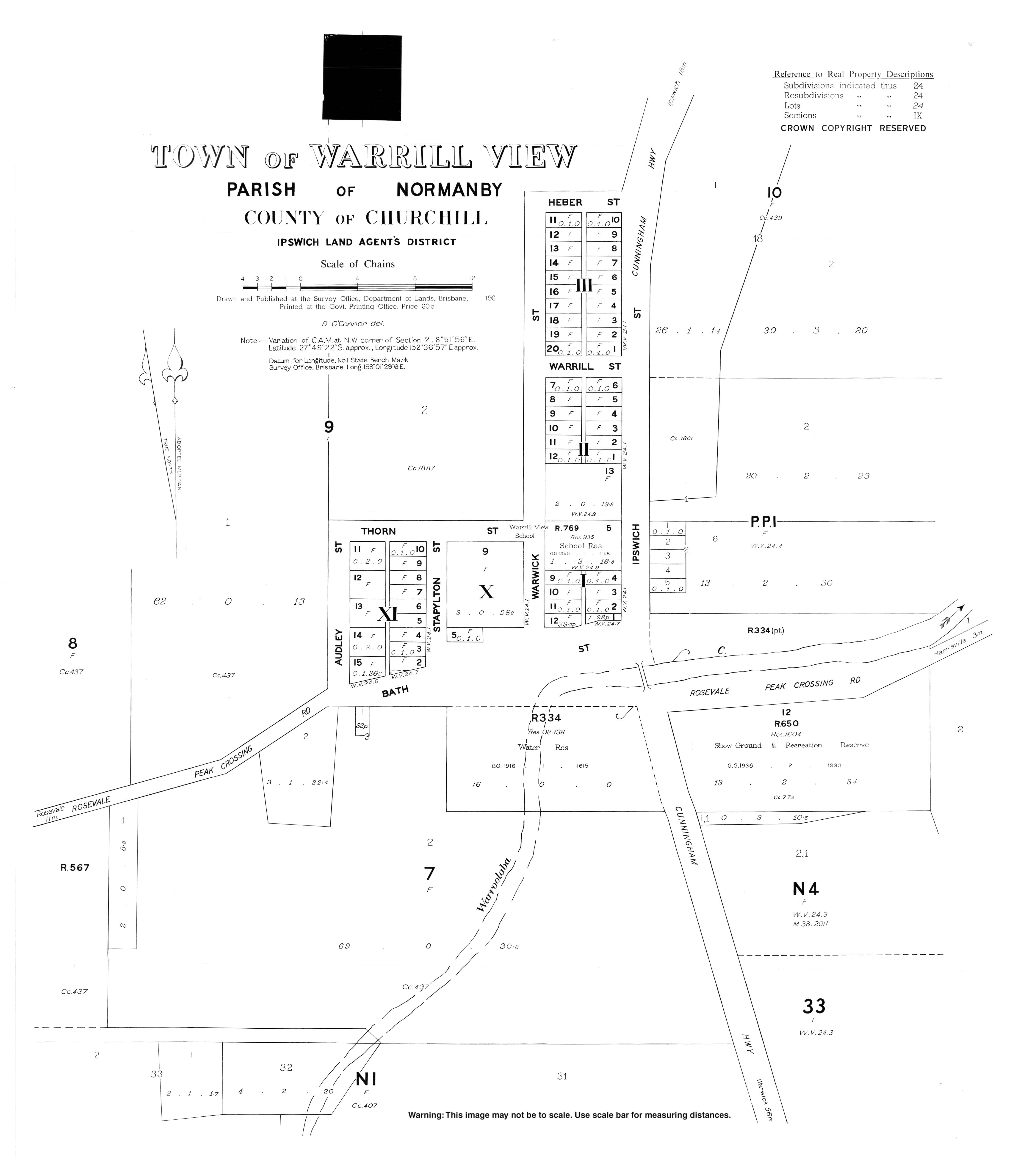
- "Town map of Warrill View". Queensland Government. 1967.
Другой контент может иметь иную лицензию. Перед использованием материалов сайта WikiSort.org внимательно изучите правила лицензирования конкретных элементов наполнения сайта.
WikiSort.org - проект по пересортировке и дополнению контента Википедии