world.wikisort.org - Australia
Turkey Beach is a coastal town and locality in the Gladstone Region, Queensland, Australia.[2][3] In the 2016 census, Turkey Beach had a population of 183 people.[1]
| Turkey Beach Queensland | |||||||||||||||
|---|---|---|---|---|---|---|---|---|---|---|---|---|---|---|---|
 Turkey Beach | |||||||||||||||
| Coordinates | 24.0825°S 151.6513°E | ||||||||||||||
| Population | 183 (2016 census)[1] | ||||||||||||||
| • Density | 55.5/km2 (143.6/sq mi) | ||||||||||||||
| Postcode(s) | 4678 | ||||||||||||||
| Area | 3.3 km2 (1.3 sq mi) | ||||||||||||||
| Location |
| ||||||||||||||
| LGA(s) | Gladstone Region | ||||||||||||||
| State electorate(s) | Burnett | ||||||||||||||
| Federal division(s) | Flynn | ||||||||||||||
| |||||||||||||||
Geography
Turkey Beach is a coastal fishing village that sits in the protected Rodds Bay., and one of the geographically closest places to the Great Barrier Reef.
The area features large areas of mangrove inlets, creeks, and estuaries that provide excellent fishing and some of the best mud crabbing areas in Queensland. The Eurimbula National Park preserves the rugged peninsular between the bay and the Coral Sea where Rodds Bay is home to a variety of marine and bird life. Nearby Pancake Creek is a wilderness park located in the lee of Bustard Head providing a popular anchorage for yachts and boats.
Turkey Beach also has a small tidal swimming enclosure near the boat ramp and an extensive network of sandy beaches outside Rodds Harbour offers beachgoers plenty of choices.
History
The town was gazetted on 1 November 1968.[2] The name Turkey relates directly back to the bustard or bush turkey shot by Captain Cook's crew back in 1770 when they discovered the area aboard HMS Endeavour.[4] Nearby Turkey Station existed since at latest 1875.[5]
At the 2006 census, Turkey Beach had a population of 133.[6]
Turkey Beach was within the Shire of Miriamvale until the shire was amalgamated into the Gladstone Region in 2008.[7]
Amenities
The town of Turkey Beach has good amenities. Accommodation is available, but there is no camping in the township. Turkey Beach has good links with the towns of 1770 and Agnes Water, the tourist hubs of the Discovery Coast.
Education
There are no schools in Turkey Beach. The nearest government primary school is Bororen State School. The nearest government secondary schools are Miriam Vale State School (offering secondary schooling to Year 10) and Tannum Sands State High School (offering secondary schooling to Year 12).[8]
Getting there
Access to Turkey Beach is from the Bruce Highway. Take the turn off 10 kilometres (6.2 mi) north of Bororen. The 20 kilometres (12 mi) road leading into Turkey Beach is bitumen.
See also
References
- Australian Bureau of Statistics (27 June 2017). "Turkey Beach (SSC)". 2016 Census QuickStats. Retrieved 20 October 2018.
- "Turkey Beach – town in Gladstone Region (entry 35355)". Queensland Place Names. Queensland Government. Retrieved 21 December 2018.
- "Turkey Beach – locality in Gladstone Region (entry 47291)". Queensland Place Names. Queensland Government. Retrieved 21 December 2018.
- Cook, James (23 May 1770). "Cook's Journal: Daily Entries". South Seas: Voyaging and cross-cultural encounters in the Pacific (1760-1800). National Library of Australia. Archived from the original on 20 December 2018. Retrieved 21 December 2018.
- "POLICE COURT". The Capricornian. Queensland, Australia. 21 August 1875. p. 542. Retrieved 8 June 2020 – via Trove.
- Australian Bureau of Statistics (25 October 2007). "Turkey Beach (Miriam Vale Shire) (State Suburb)". 2006 Census QuickStats. Retrieved 25 June 2011.
- "Gladstone Region". Queensland Places. Centre for the Government of Queensland, University of Queensland. Retrieved 8 September 2013.
- "Queensland Globe". State of Queensland. Retrieved 20 December 2018.
External links
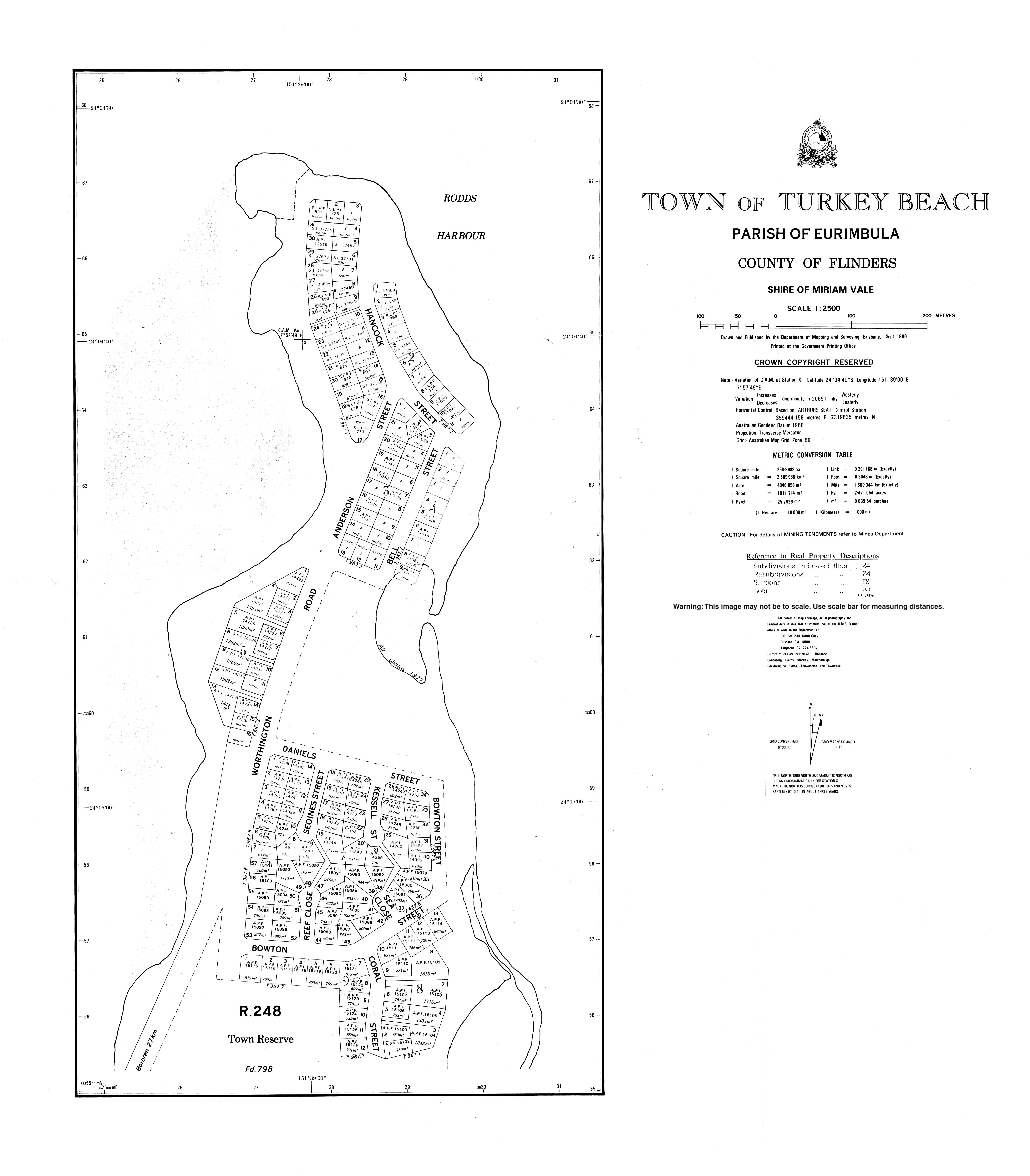
- Town map of Turkey Beach, 1980
- Turkey Beach
- 1770 Let's Connect Turkey Beach
- Bundaberg Coast: Turkey Beach, Bororen & Miriam Vale
- Town of Bororen
- Discovery Coast Tourism Commission
- Town of 1770
Другой контент может иметь иную лицензию. Перед использованием материалов сайта WikiSort.org внимательно изучите правила лицензирования конкретных элементов наполнения сайта.
WikiSort.org - проект по пересортировке и дополнению контента Википедии