world.wikisort.org - Australia
Toobeah, pronounced 'two beer', is a rural town and locality in the Goondiwindi Region, Queensland, Australia.[2][3] The locality is on the border of Queensland and New South Wales.[4] In the 2016 census, Toobeah had a population of 191 people.[1]
| Toobeah Queensland | |||||||||||||||
|---|---|---|---|---|---|---|---|---|---|---|---|---|---|---|---|
 Eastern entrance on the Barwon Highway (2021). | |||||||||||||||
 Toobeah | |||||||||||||||
| Coordinates | 28.4169°S 149.8702°E | ||||||||||||||
| Population | 191 (2016 census)[1] | ||||||||||||||
| • Density | 0.1697/km2 (0.4395/sq mi) | ||||||||||||||
| Postcode(s) | 4498 | ||||||||||||||
| Area | 1,125.5 km2 (434.6 sq mi) | ||||||||||||||
| Time zone | AEST (UTC+10:00) | ||||||||||||||
| Location |
| ||||||||||||||
| LGA(s) | Goondiwindi Region | ||||||||||||||
| State electorate(s) | Southern Downs | ||||||||||||||
| Federal division(s) | Maranoa | ||||||||||||||
| |||||||||||||||
Geography
Toobeah is in the Darling Downs region. The town is on the Barwon Highway, 389 kilometres (242 mi) south west of the state capital, Brisbane.
History
The town takes its name from the Toobeah railway station on the South Western railway line, which was established in 1910. The name is believed to be an Aboriginal word indicating to point, possibly because of the presence of a sign post at the road junction where the railway station was built.[3]
Toobeah Provisional School opened on 12 October 1914. On 1 December 1914 it became Toobeah State School. It closed on 30 April 1964.[5]
At the 2011 census, Toobeah and the surrounding rural area had a population of 218.[6]
In the 2016 census, Toobeah had a population of 191 people.[1]
Amenities
Facilities in the town include the Coronation Hotel and a general store.[7]
 Toobeah hotel motel (2021).

References
- Australian Bureau of Statistics (27 June 2017). "Toobeah (SSC)". 2016 Census QuickStats. Retrieved 20 October 2018.
- "Toobeah – town in Goondiwindi Region (entry 34836)". Queensland Place Names. Queensland Government. Retrieved 6 May 2020.
- "Toobeah – locality in Goondiwindi Region (entry 50066)". Queensland Place Names. Queensland Government. Retrieved 6 May 2020.
- "Queensland Globe". State of Queensland. Retrieved 7 May 2020.
- Queensland Family History Society (2010), Queensland schools past and present (Version 1.01 ed.), Queensland Family History Society, ISBN 978-1-921171-26-0
- Australian Bureau of Statistics (31 October 2012). "Toobeah". 2011 Census QuickStats. Retrieved 5 May 2013.
- "Food and Liquor". Community Directory. Goondiwindi Regional Council. Retrieved 5 May 2013.
External links
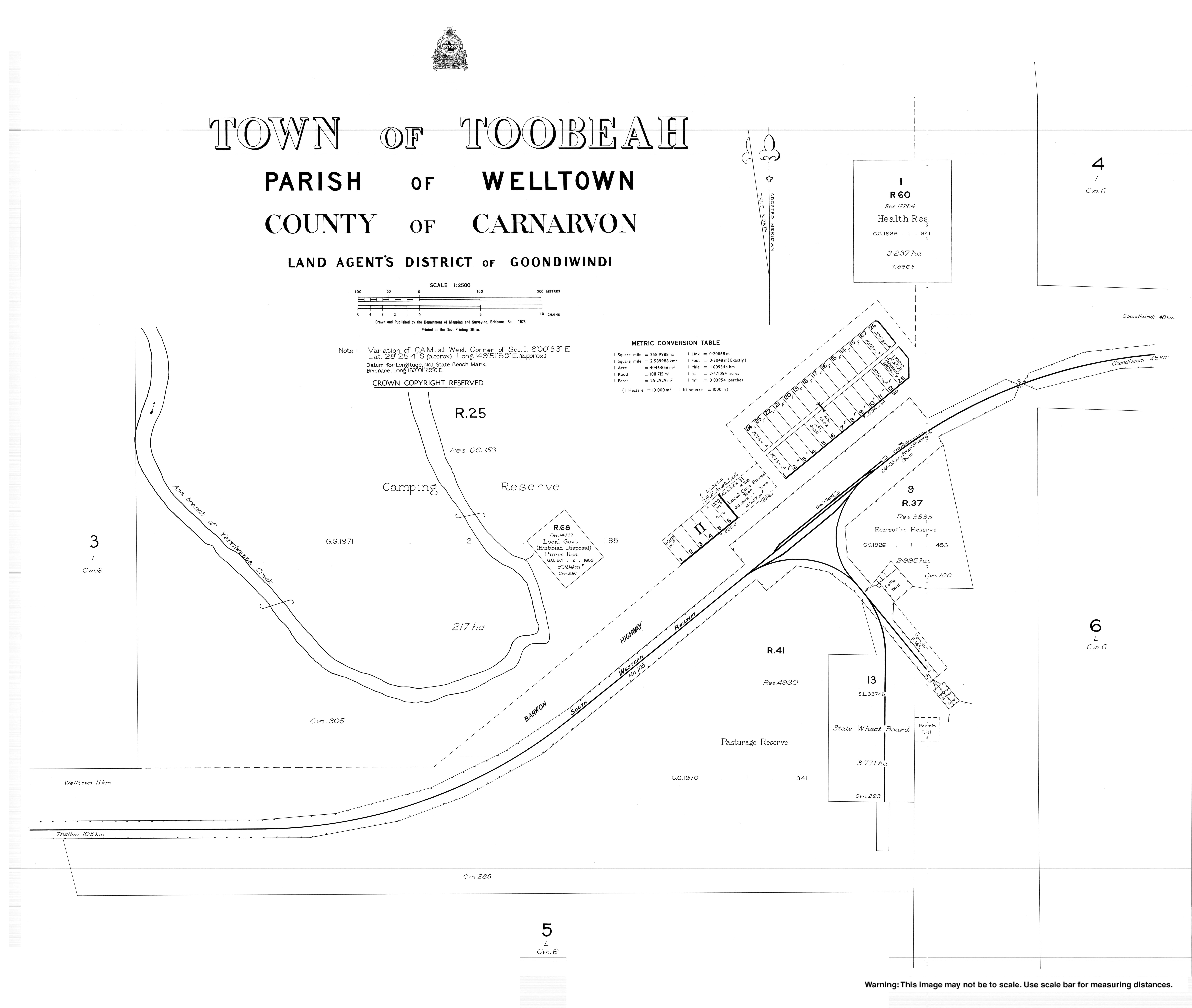
- "Town map of Toobeah". Queensland Government. 1976.
- Toobeah - Goondiwindi Regional Council
Другой контент может иметь иную лицензию. Перед использованием материалов сайта WikiSort.org внимательно изучите правила лицензирования конкретных элементов наполнения сайта.
WikiSort.org - проект по пересортировке и дополнению контента Википедии