world.wikisort.org - Australia
South Ripley is a rural locality and suburb of Ipswich in the City of Ipswich, Queensland, Australia.[2][3] South Ripley is part of the Ecco Ripley urban development area. In the 2016 census, South Ripley had a population of 712 people.[1]
| South Ripley Ipswich, Queensland | |||||||||||||||
|---|---|---|---|---|---|---|---|---|---|---|---|---|---|---|---|
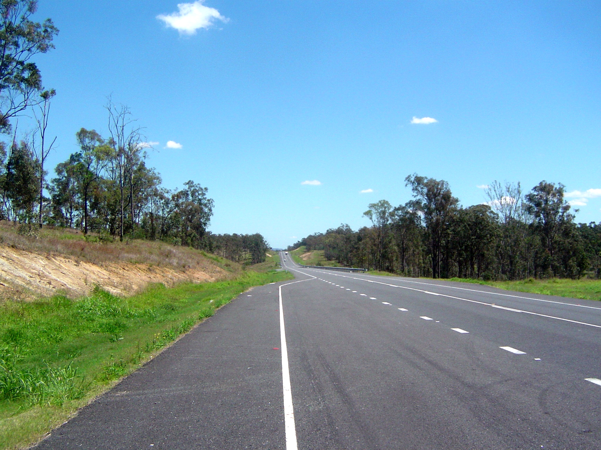
 Harmony Crescent, South Ripley | |||||||||||||||
 South Ripley | |||||||||||||||
| Coordinates | 27.7216°S 152.8238°E | ||||||||||||||
| Population | 712 (2016 census)[1] | ||||||||||||||
| • Density | 14.099/km2 (36.52/sq mi) | ||||||||||||||
| Postcode(s) | 4306 | ||||||||||||||
| Area | 50.5 km2 (19.5 sq mi) | ||||||||||||||
| Time zone | AEST (UTC+10:00) | ||||||||||||||
| Location |
| ||||||||||||||
| LGA(s) | City of Ipswich | ||||||||||||||
| State electorate(s) |
| ||||||||||||||
| Federal division(s) | Blair | ||||||||||||||
| |||||||||||||||
Geography
As a locality, South Ripley is the valley created by Bundamba Creek which runs in a north-south direction in the locality. Bundamba Lagoon is located in the south-east part of the locality.[4][5]
History
South Ripley is situated in the Yugarabul traditional Indigenous Australian country of the Brisbane and surrounding regions.[6]
Bundamba Upper State School opened on 2 February 1874. In 1909, it was renamed Ripley State School. It closed in 1930 due to low student numbers.[7] It was at 1166-1176 Ripley Road (27.7211°S 152.8174°E).[8]
In the 2011 census, South Ripley had a population of 344 people.[9]
In the 2016 census, South Ripley had a population of 712 people.[1]
Ripley Valley State School and Ripley Valley State Secondary College opened on 1 January 2020.[10][11]
Amenities
The Ipswich City Council operates a fortnightly mobile library service which visits Providence Parade.[12]
Education
Ripley Valley State School is a government primary (P-6) school for boys and girls at 110 Botany Drive (27.6956°S 152.8131°E).[13] In 2020, its first year of operation, the school had an enrolment of 336 students with 26 teachers (24 full-time equivalent) and 20 non-teaching staff (13 full-time equivalent).[14]
Ripley Valley State Secondary College is a government secondary (7-12) school for boys and girls on the corner of Providence Parade and Parkway Avenue (27.6942°S 152.8103°E).[15] In 2020, its first year of operation, the school had an enrolment of 154 students in Years 7 and 8 (the only years of school initially offered) with 15 teachers and 16 non-teaching staff (13 full-time equivalent).[16]
References
- Australian Bureau of Statistics (27 June 2017). "South Ripley (SSC)". 2016 Census QuickStats. Retrieved 20 October 2018.
- "South Ripley – locality in City of Ipswich (entry 49526)". Queensland Place Names. Queensland Government. Retrieved 13 February 2022.
- Council, Ipswich City (6 April 2020). "Division 1". www.ipswich.qld.gov.au. Archived from the original on 16 July 2021. Retrieved 16 July 2021.
- "South Ripley, Queensland". Google Maps. Archived from the original on 23 February 2022. Retrieved 20 November 2014.
- "Bundamba Lagoon (entry 5210)". Queensland Place Names. Queensland Government. Retrieved 20 November 2014.
- "AIATSIS code E66: Yugarabul". Federal government. Australian Institute of Aboriginal and Torres Strait Islander Studies. Archived from the original on 13 August 2020. Retrieved 31 July 2020.
- Queensland Family History Society (2010), Queensland schools past and present (Version 1.01 ed.), Queensland Family History Society, ISBN 978-1-921171-26-0
- "Moreton 40 Chain map AG2 series sheet 2 south" (Map). Queensland Government. 1922. Archived from the original on 23 February 2022. Retrieved 23 February 2022.
- Australian Bureau of Statistics (31 October 2012). "South Ripley". 2011 Census QuickStats. Retrieved 20 November 2014.
- "Opening and closing dates of Queensland Schools". Queensland Government. Retrieved 2 March 2022.
- "History". Ripley Valley State Secondary College. 22 November 2019. Archived from the original on 11 March 2021. Retrieved 2 March 2022.
- "Ipswich Libraries: Mobile library schedule of stops - January to June 2018" (PDF). Ipswich City Council. Archived (PDF) from the original on 30 January 2018. Retrieved 30 January 2018.
- "Ripley Valley State School". Ripley Valley State School. 23 July 2019. Archived from the original on 11 March 2021. Retrieved 2 March 2022.
- "School Annual Report 2020" (PDF). Ripley Valley State School. Archived (PDF) from the original on 2 March 2022. Retrieved 2 March 2022.
- "Ripley Valley State Secondary College". Ripley Valley State Secondary College. 30 July 2019. Archived from the original on 11 March 2021. Retrieved 2 March 2022.
- "Annual Report 2020" (PDF). Ripley Valley State Secondary College. Archived (PDF) from the original on 2 March 2022. Retrieved 2 March 2022.
External links
- "Ipswich Southern Localities". Queensland Places. Centre for the Government of Queensland, University of Queensland.
Другой контент может иметь иную лицензию. Перед использованием материалов сайта WikiSort.org внимательно изучите правила лицензирования конкретных элементов наполнения сайта.
WikiSort.org - проект по пересортировке и дополнению контента Википедии