world.wikisort.org - Australia
North Adelaide is a predominantly residential precinct and suburb of the City of Adelaide in South Australia, situated north of the River Torrens and within the Adelaide Park Lands.
This article needs additional citations for verification. (October 2019) |
| North Adelaide Adelaide, South Australia | |||||||||||||||
|---|---|---|---|---|---|---|---|---|---|---|---|---|---|---|---|
 North Adelaide looking south down King William Road to St Peter's Cathedral and the City | |||||||||||||||
 | |||||||||||||||
| Coordinates | 34°54′22″S 138°35′38″E | ||||||||||||||
| Population | 6,823 (SAL 2021)[1] | ||||||||||||||
| Established | 1837 | ||||||||||||||
| Postcode(s) | 5006 | ||||||||||||||
| LGA(s) | City of Adelaide | ||||||||||||||
| State electorate(s) | Adelaide | ||||||||||||||
| Federal division(s) | Adelaide | ||||||||||||||
| |||||||||||||||
| |||||||||||||||
History
Surveyor-General Colonel William Light of the colony of South Australia completed the survey for the capital city of Adelaide by 10 March 1837. The survey included 1,042 acres (4.22 km2), including 342 acres (1.38 km2) north of the River Torrens. This surveyed land north of the river became North Adelaide.[2][3]

North Adelaide was the birthplace of William Lawrence Bragg, co-recipient of the Nobel Prize for Physics in 1915.
It contains many heritage-listed buildings, including the North Adelaide Post Office.[4]
Design

North Adelaide consists of three grids of varying dimension to suit the geography. North Adelaide is surrounded by parklands, with public gardens between the grids. The North Adelaide Parklands (the Adelaide Parklands north of the River Torrens) contain gardens, many sports fields (including the Adelaide Oval), a golf course, horse agistment paddocks and some areas sympathetic with the native environment.
The northernmost (and largest) grid has Wellington Square at its centre, and O'Connell Street (named after Daniel O'Connell[5]) as its main commercial street. O'Connell Street is the continuation of King William Road, and links the main street of Adelaide City with Main North Road. A tram used to run up O'Connell Street and Melbourne street; the government is investigating extending the Glenelg tram along King William Road to terminate at Brougham Place. O'Connell Street has many cafes, restaurants, burger bars, shops and six pubs. Lincoln College (University of Adelaide) and Aquinas College (a residential college run by the Marists for the Archdiocese of Adelaide, for students at any Adelaide university[6]), are also situated in this grid. Tynte Street is another commercial street in the largest grid running between Wellington Square and the east parklands. It contains the North Adelaide Primary School, a public library, a civic hall, a post office and a pub. Also on Tynte Street are the studios of Adelaide's NWS-9, the local Nine Network affiliate.
The southernmost (and smallest) grid is bordered by Brougham Place to the north, Pennington Road to the south, Sir Edwin Smith Avenue to the east and Palmer Place with adjoining Palmer Gardens/Pangki Pangki to the west (these two named after Lt Col George Palmer (1799-1883), a South Australian Colonisation Commissioner[7]). This area contains the Women's and Children's Hospital, the Memorial Hospital, St Peter's Cathedral, St. Mark's College, the Cathedral hotel (popular with cricket fans due its proximity to the Adelaide Oval), and the Queen's Head hotel (the oldest Adelaide pub, renovated in 2003[citation needed]).
The remaining (western) grid is termed Lower North Adelaide. It is nearest the Torrens floodplain. It contains Brougham Place Uniting Church, St. Ann's College, and four pubs. Melbourne Street, with cafes, restaurants, galleries, shops and two pubs, is its commercial street.
Hotels and leisure

Many of the North Adelaide pubs and hotels are heritage-listed. There are fourteen in total: eight in Upper North Adelaide, four in Lower North Adelaide, and two in the Cathedral grid. Six of the Upper North Adelaide pubs are on O'Connell Street: the Caledonian, the Royal Oak, The O Hotel, the Cambridge, the Oxford and The Archer. The Daniel O'Connell (formerly the North Adelaide Hotel) is on Tynte Street, and the Wellington Hotel (which also serves as the local TAB) is located at the eastern side of Wellington Square. The Dover Castle is heritage listed but is no longer a hotel, having been turned into apartments. Lower North Adelaide contains the Kentish Arms, established in the 1840s by John Cocker and which was a centre of the early growth of cricket in the city, The Lion hotel (formerly a brewery), the Lord Melbourne, and the British (Adelaide's second oldest public house).[8]
North Adelaide's O'Connell Street and Melbourne Street are also very popular for its many well known restaurants such as Fellini, Cafe Palazzo, 24-hour bakery, Zapata's and Montezuma's.
Education
The North Adelaide Primary School[9] on Tynte Street was established in 1877 and is one of the oldest schools in South Australia. At 2007 its enrolment from reception to year seven was 250. The school's motto recorded on its World War One honour board is Esse quam videri, "To be, rather than to seem" and the school colours are red and blue.
Queen's College (1885–1949) on Barton Terrace[10] was the longest lasting proprietary (i.e. privately owned and run) boys' college in Australia.[11] Another private school of historical interest was North Adelaide Grammar School (aka. Whinham College).
Many residential colleges affiliated with the University of Adelaide are in North Adelaide, including Aquinas College, Lincoln College, St. Ann's College, St. Mark's College, Kathleen Lumley College (Postgraduate)[12] and Australian Lutheran College, the Lutheran tertiary institution and seminary.
Transport

North Adelaide is well served by road, although in peak hour some roads, particularly O'Connell Street and Melbourne Street, are quite congested.
North Adelaide railway station is located on the Gawler line of the Adelaide rail network. The railway station is however on the western edge of North Adelaide with infrequent services and is little used.[citation needed]
There are several Adelaide Metro bus routes that service the area on their way through to other suburbs.[citation needed] Buses run along several routes:
- King William Road, O'Connell Street, Ward Street, Hill Street, Mills Terrace then a bus only link to War Memorial Drive (since 1912, former electric tram route)[13]
- King William Road, O'Connell Street, Ward Street, Jeffcott Street and Jeffcott Road
- King William Road, O'Connell Street and Prospect Road (since 1883, former horse tram route)[14]
- King William Road, O'Connell Street and Main North Road (since 1883, former horse tram route)
- King William Road, Sir Edwin Smith Avenue and Melbourne Street (since at least 1912, former electric tram route)
- Frome Road and Melbourne Street
- Montefiore Road and Jeffcott Street (since October 2006)
Since 27 January 2014 a free loop bus operated jointly between the Adelaide City Council and the state government circulates through Adelaide and North Adelaide replacing a community bus operated by the Adelaide City Council.
There is provision for bicycles along LeFevre Terrace/Frome Road and Montefiore Road/Jeffcott Street/Wellington Square and many of the streets have little traffic and are bicycle friendly.
Residents
In the 2016 Census, there were 6,950 people in North Adelaide. North Adelaide has a much lower proportion of its population below 14 years (2.4% 0–4 years, 2.3% 5–9 years, 2.2% 10–14 years) compared to South Australia as a whole (6.3% 0–4 years, 6.4% 5–9 years, 6.0% 10–14 years). Conversely, the proportion of the population 20–29 years (14.2% 20–24 years, 10.4% 25–29 years) is much greater than South Australia as a whole (6.4% 20–24 years, 6.4% 25–29 years).[15]
60.7% of people were born in Australia. The next most common countries of birth were England 5.2%, China 3.3% and India 2.5%. 70.5% of people spoke only English at home. Other languages spoken at home included Mandarin 3.9%, Italian 1.7%, Greek 1.5%.[15]
The most common responses for religion were No Religion 37.1% and Catholic 16.3%.[15]
The median household income of $1,693 was more than the South Australian median of $1,206. The most common occupations in North Adelaide included Professionals 39.3%, Managers 15.8%, Clerical and Administrative Workers 11.8%, Community and Personal Service Workers 11.7%, and Sales Workers 8.2%.[15]
Built Form
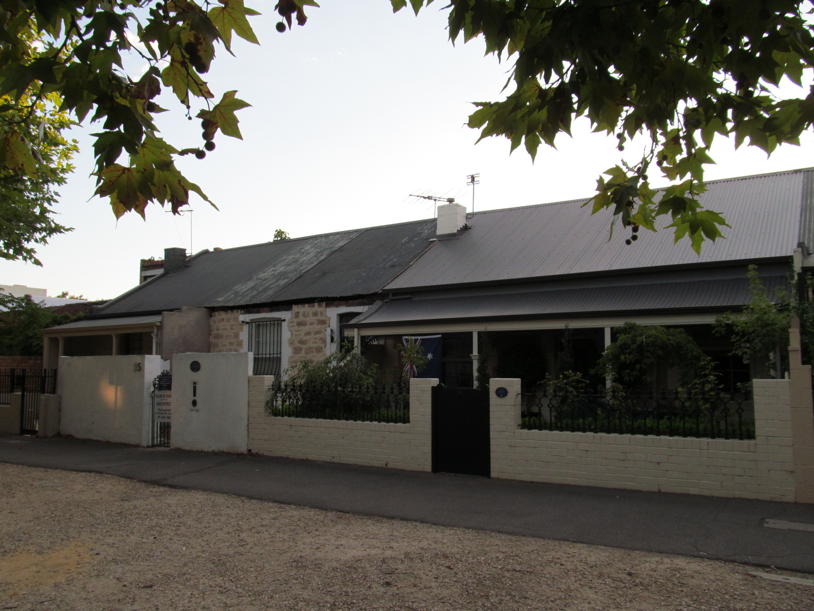
There were 2,659 occupied private dwellings of which 43.6% were semi detached, 28.7 were flat or apartments and 26.4% were separate houses. The average household size in North Adelaide is 1.9, less than the South Australian average of 2.4.[15] There are many significant heritage buildings in the area.[16]
Politics
| 2018 State Election[17] | |||
|---|---|---|---|
| Polling Booth | North Adelaide East | North Adelaide | |
| Liberal | 56% | 49.8% | |
| Labor | 30.7% | 35.9% | |
| Greens | 10.2% | 11% | |
| Other Formal | 3.1% | 3.2% | |
| 2019 Federal Election[18][19] | |||||
|---|---|---|---|---|---|
| Polling Booth | North Adelaide | 2PP | Lower North Adelaide | 2PP | |
| Liberal | 47.1% | 51.7% | 49.8% | 55.8% | |
| Labor | 29.9% | 48.3% | 27.8% | 44.2% | |
| Greens | 17% | 17% | |||
| Other Formal | 5.9% | 5.3% | |||
| Formal Votes | 2198 | 881 | |||
North Adelaide is part of the state electoral district of Adelaide, which has been held since 2022 by Labor MP Lucy Hood. In federal politics, the suburb is part of the division of Adelaide, and has been represented since 2004 by a Labor MP, since 2019 being Steve Georganas. North Adelaide has one or two polling booths for federal and state elections, North Adelaide at the North Adelaide Primary School and for most elections, Lower/East North Adelaide at St Cyprian's Anglican Church. The first preference votes by booths for recent state and federal elections are shown in tables.
In local government, North Adelaide forms the North ward within the City of Adelaide. Since 2018 the North Ward Councillors are Mary Couros and Phillip Martin. Significant local issues since 2010 have included:
- Adelaide oval precinct[20][21]
- Barton Road bus link[22]
- LeCornu development site[23]
- Height limits on developments[24]
- Late night closing of hotels[25]
- Redevelopment of the Adelaide Aquatic Centre by the Adelaide Crows[26]
References
- Australian Bureau of Statistics (28 June 2022). "North Adelaide (Suburb and Locality)". Australian Census 2021 QuickStats. Retrieved 28 June 2022.
- Fort, Carol (2008). Keeping a Trust: South Australia's Wyatt Benevolent Institution and Its Founder. Adelaide: Wakefield Press. p. 37. ISBN 9781862547827. Retrieved 22 October 2019.
- Dutton, Francis (1846). South Australia and its mines: With an historical sketch of the colony, under its several administrations, to the period of Captain Grey's departure. Adelaide: T. and W. Boone. p. 117. Retrieved 22 October 2019.
Original from Oxford University; Digitized 2 October 2007
- "North Adelaide Post Office (Place ID 106136)". Australian Heritage Database. Australian Government. Retrieved 15 May 2019.
- Nicholas, Jeff (2016). Behind the streets of Adelaide (Volume 3: From Wellington to Mann). Torrens Press. p. 650. ISBN 97809945330-0-5.
- "Home page". Aquinas College. Retrieved 16 September 2021.
- "46-09 - Palmer Gardens - Naming and history". Adelaide City Explorer. Retrieved 7 December 2020.
- Archived 14 August 2011 at the Wayback Machine
- "North Adelaide Primary School". nthadelaideps.sa.edu.au.
- "Closing Down of College". The News (Adelaide). South Australia. 6 July 1949. p. 16. Retrieved 1 February 2020 – via Trove.
- Brian O'Connor (2000). Queen's College North Adelaide, 1893–1949. Queen's College Old Boys' Association. ISBN 0646386603.
- "Kathleen Lumley College Welcome". kathleenlumleycollege.com.au.
- "Adelaide Tram Museum at St. Kilda South Australia - Things to see and do". trammuseumadelaide.com.au.
- "Adelaide Tram Museum at St. Kilda South Australia - Things to see and do". trammuseumadelaide.com.au.
- Australian Bureau of Statistics (27 June 2017). "North Adelaide (State Suburb)". 2016 Census QuickStats. Retrieved 15 March 2018.
 Material was copied from this source, which is available under a Creative Commons Attribution 4.0 International License.
 - Marsden, Susan; Corporation of the City of Adelaide (1990). Heritage of the City of Adelaide: An Illustrated Guide. Adelaide: Wakefield Press. p. 405. ISBN 978-0909866303.
- "Adelaide Polling Booth Results". www.ecsa.sa.gov.au. Archived from the original on 14 March 2019.
- "2019 Election - North Adelaide - polling place". AEC Tally Room. Retrieved 9 September 2020.
- "2019 Election - Lower North Adelaide (Adelaide)2019 Election - North Adelaide - polling place". AEC Tally Room. Retrieved 9 September 2020.
- "Adelaide Oval Masterplan Revealed". The Advertiser. Retrieved 7 May 2015.
- "Signs to be changed by hand in City Council plan to ease street pressure". The Advertiser. Retrieved 7 May 2015.
- "Most Western Suburbs Residents Views on Barton Rd. Labelled Irrelevant by Adelaide MP Rachel Sanderson". The Advertiser. Retrieved 7 May 2015.
- "Billionaire Lang Walker lost interest in ex Le Cornu site". The Advertiser. Retrieved 7 May 2015.
- "North Adelaide may lift its skyline". The Advertiser. Retrieved 7 May 2015.
- "Adelaide City Council looks to close pubs on O'Connell St and Melbourne St, North Adelaide, early". The Advertiser. Retrieved 7 May 2015.
- "Adelaide Crows reveal plans for swimming pool, gym, upgraded oval in Adelaide Parklands". ABC News. Australian Broadcasting Corporation. Retrieved 6 March 2020.
Further reading
- "Nomenclature of the Streets of Adelaide and North Adelaide" (PDF). State Library of South Australia.
taken from The City of Adelaide Year Book, 1939-1940
{{cite journal}}: Cite journal requires|journal=(help)
External links
 Media related to North Adelaide at Wikimedia Commons
|
| Authority control |
|
|---|
Другой контент может иметь иную лицензию. Перед использованием материалов сайта WikiSort.org внимательно изучите правила лицензирования конкретных элементов наполнения сайта.
WikiSort.org - проект по пересортировке и дополнению контента Википедии