world.wikisort.org - Australia
Kurumbul is a rural town and locality in the Goondiwindi Region, Queensland, Australia.[2][3] It is on the border of Queensland and New South Wales.[4] In the 2016 census, Kurumbul had a population of 46 people.[1]
| Kurumbul Queensland | |||||||||||||||
|---|---|---|---|---|---|---|---|---|---|---|---|---|---|---|---|
 Kurumbul | |||||||||||||||
| Coordinates | 28.615°S 150.5544°E | ||||||||||||||
| Population | 46 (2016 census)[1] | ||||||||||||||
| • Density | 0.1777/km2 (0.460/sq mi) | ||||||||||||||
| Postcode(s) | 4388 | ||||||||||||||
| Area | 258.9 km2 (100.0 sq mi) | ||||||||||||||
| Time zone | AEST (UTC+10:00) | ||||||||||||||
| Location |
| ||||||||||||||
| LGA(s) | Goondiwindi Region | ||||||||||||||
| State electorate(s) | Southern Downs | ||||||||||||||
| Federal division(s) | Maranoa | ||||||||||||||
| |||||||||||||||
Geography
The Dumaresq River forms most of the southern boundary and is the border between Queensland and New South Wales.[5]
The Cunningham Highway runs along the northern boundary.[4]
The South Western railway line enters the locality from the south-east (Yelarbon), passes immediately south of the town (located in the south-east of the locality), and exits to the west (Goondiwindi).[4] The locality is served by three railway stations, from west to east:
- Carrington railway station (28.5933°S 150.4183°E)[6]
- Kildonan railway station, now abandoned (28.6085°S 150.4527°E)[6]
- Kurumbul railway station, serving the town (28.6155°S 150.5563°E)[6]
History
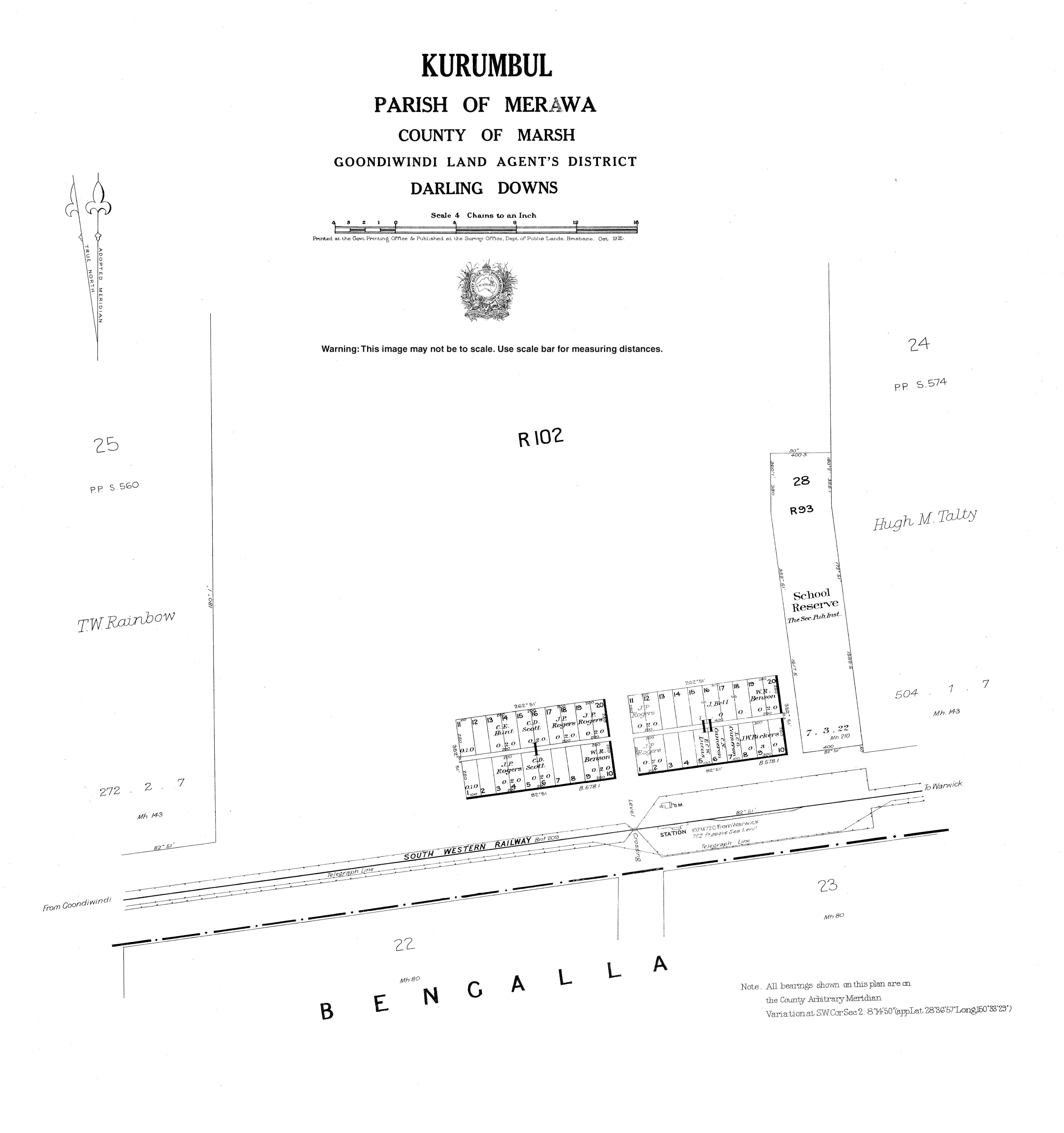
The town takes its name from its railway station, which was originally named Burranba (an Aboriginal word meaning brigalow) on 3 September 1908, but was changed to Kurumbul (believed to be an Aboriginal word meaning magpie) on 30 August 1912.[2]
Burranba State School opened in March 1912. Circa 1924, it had become Kurumbul State School. It closed in 1976.[7] It was at 1954 Yelarbon Kurumbul Road (28.6143°S 150.5573°E).[8] In 1977-1978, the Kurumbul school building was relocated to Daymar State School in Daymar.[9]
In the 2016 census, Kurumbul had a population of 46 people.[1]
Education
There are no schools in Kurumbul. The nearest government primary schools are Yelarbon State School in neighbouring Yelarbon to the east and Goondiwindi State School in neighbouring Goondiwindi to the west. The nearest government secondary school is Goondiwindi State High School in Goondiwindi to the west.[4]
References
- Australian Bureau of Statistics (27 June 2017). "Kurumbul (SSC)". 2016 Census QuickStats. Retrieved 20 October 2018.
- "Kurumbul – town in Goondiwindi Region (entry 18655)". Queensland Place Names. Queensland Government. Retrieved 6 May 2020.
- "Kurumbul – locality in Goondiwindi Region (entry 47816)". Queensland Place Names. Queensland Government. Retrieved 6 May 2020.
- "Queensland Globe". State of Queensland. Retrieved 23 June 2022.
- Google (15 September 2021). "Kurumbul, Queensland" (Map). Google Maps. Google. Retrieved 15 September 2021.
- "Railway stations and sidings - Queensland". Queensland Open Data. Queensland Government. 2 October 2020. Archived from the original on 5 October 2020. Retrieved 5 October 2020.
- Queensland Family History Society (2010), Queensland schools past and present (Version 1.01 ed.), Queensland Family History Society, ISBN 978-1-921171-26-0
- "Town of Kurumbul" (Map). Queensland Government. 1912. Archived from the original on 23 June 2022. Retrieved 23 June 2022.
- "Item ID593341, Relocation of Kurrumbul School at Daymar together with alterations and additions, Daymar State School". Queensland State Archives. Retrieved 23 March 2021.
External links
- "Town map of Kurumbul". Queensland Government. 1912. Archived from the original on 23 June 2022.
Другой контент может иметь иную лицензию. Перед использованием материалов сайта WikiSort.org внимательно изучите правила лицензирования конкретных элементов наполнения сайта.
WikiSort.org - проект по пересортировке и дополнению контента Википедии