world.wikisort.org - Australia
Kurrimine Beach is a coastal town and locality in the Cassowary Coast Region, Queensland, Australia.[2][3] In the 2016 census, the locality of Kurrimine Beach had a population of 729 people.[1]
| Kurrimine Beach Queensland | |||||||||||||||
|---|---|---|---|---|---|---|---|---|---|---|---|---|---|---|---|
 Kurrimine Beach | |||||||||||||||
 Kurrimine Beach | |||||||||||||||
| Coordinates | 17.7797°S 146.1038°E | ||||||||||||||
| Population | 729 (2016 census)[1] | ||||||||||||||
| • Density | 5.084/km2 (13.167/sq mi) | ||||||||||||||
| Postcode(s) | 4871 | ||||||||||||||
| Area | 143.4 km2 (55.4 sq mi) | ||||||||||||||
| Time zone | AEST (UTC+10:00) | ||||||||||||||
| Location |
| ||||||||||||||
| LGA(s) | Cassowary Coast Region | ||||||||||||||
| State electorate(s) | Hill | ||||||||||||||
| Federal division(s) | Kennedy | ||||||||||||||
| |||||||||||||||
Geography
The Coral Sea forms the eastern boundary. The Kurrimine Beach National Park and Maria Creek National Park are within the locality.[4]
History
The town was originally called Kurrimine which is believed to be an Aboriginal word meaning sunrise or dawn. It was renamed Kurrimine Beach on 1 March 1982.[2][3]
In the 2016 census, the locality of Kurrimine Beach had a population of 729 people.[1]
Education
There are no schools in Kurrimine Beach. The nearest government secondary school is Silkwood State School in neighbouring Silkwood to the west. The nearest government secondary schools are Tully State High School in Tully to the south-west and Innisfail State College in Innisfail Estate to the north.[5]
References
- Australian Bureau of Statistics (27 June 2017). "Kurrimine Beach (SSC)". 2016 Census QuickStats. Retrieved 20 October 2018.
- "Kurrimine Beach – town in Cassowary Coast Region (entry 18653)". Queensland Place Names. Queensland Government. Retrieved 6 March 2022.
- "Kurrimine Beach – locality in Cassowary Coast Region (entry 45718)". Queensland Place Names. Queensland Government. Retrieved 6 March 2022.
- Google (29 August 2021). "Kurrimine Beach, Queensland" (Map). Google Maps. Google. Retrieved 29 August 2021.
- "Queensland Globe". State of Queensland. Retrieved 23 June 2022.
Further reading
- Mackness, Constance; Mission Beach - Bingil Bay Progress Association (1983), Clump Point and district : an historical record of Tom O'Shanter, South Mission Beach, Mission Beach, Bingil Bay, Garner's Beach and Kurrimine, G.K. Bolton, ISBN 978-0-9591796-0-6
- McRobbie, William James (2008), Some historical background on King Reef, Murdering Point and Kurrimine Beach, The Author
External links
- "Kurrimine Beach". Queensland Places. Centre for the Government of Queensland, University of Queensland.
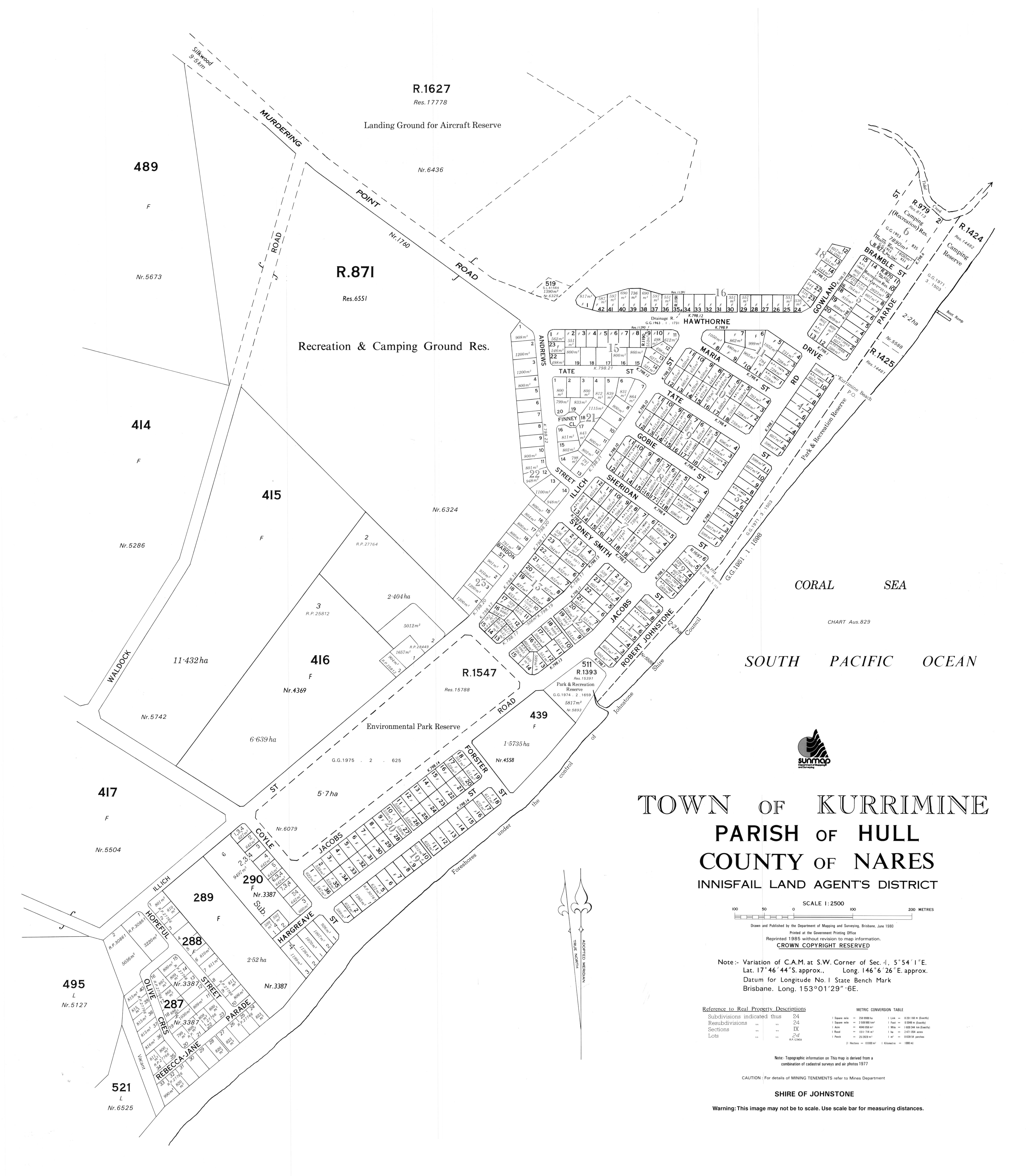
- "Town map of Kurrimine Beach". Queensland Government. 1980.
Другой контент может иметь иную лицензию. Перед использованием материалов сайта WikiSort.org внимательно изучите правила лицензирования конкретных элементов наполнения сайта.
WikiSort.org - проект по пересортировке и дополнению контента Википедии