world.wikisort.org - Australia
East Seaham is a primarily rural suburb of the Port Stephens local government area in the Hunter Region of New South Wales, Australia.[2][3] It is situated on the east bank of the Williams River, opposite Glen Oak and Seaham.[7] At the 2011 census, the population of East Seaham and the adjacent suburb of Balickera was 359, with the two suburbs having an average population density of 5.5/km2 (14/sq mi).[8]
| East Seaham New South Wales | |||||||||||||||
|---|---|---|---|---|---|---|---|---|---|---|---|---|---|---|---|
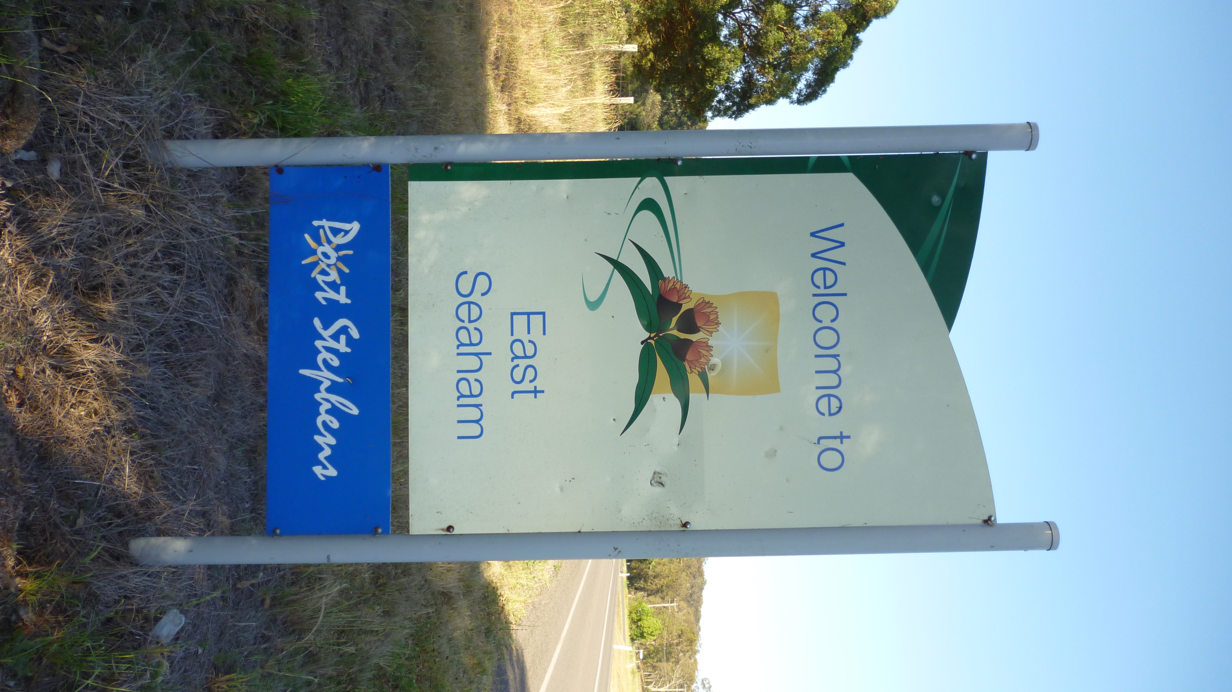 Welcome to East Seaham sign | |||||||||||||||
East Seaham | |||||||||||||||
| Coordinates | 32°38′24″S 151°44′54″E | ||||||||||||||
| Population | 353 (SAL 2021)[1] | ||||||||||||||
| Postcode(s) | 2324 | ||||||||||||||
| Area | 37.6 km2 (14.5 sq mi)[Note 1] | ||||||||||||||
| Time zone | AEST (UTC+10) | ||||||||||||||
| • Summer (DST) | AEDT (UTC+11) | ||||||||||||||
| Location |
| ||||||||||||||
| LGA(s) | Port Stephens Council[2] | ||||||||||||||
| Region | Hunter[2] | ||||||||||||||
| County | Gloucester[3] | ||||||||||||||
| Parish | Wilmot[3] | ||||||||||||||
| State electorate(s) | Port Stephens[4] | ||||||||||||||
| Federal division(s) | Paterson[5] | ||||||||||||||
| |||||||||||||||
| |||||||||||||||
The Greswick Public School operated in East Seaham between 1895 and 1937, supported by the development of farms in and around East Seaham. The schoolhouse was moved to Seaham after a bushfire in 1939 and operated as Seaham Public School until the 1960s.[9]
Notes
- Area calculation is based on 1:100000 map 9232 NEWCASTLE.
References
- Australian Bureau of Statistics (28 June 2022). "East Seaham (Suburb and Locality)". Australian Census 2021 QuickStats. Retrieved 28 June 2022.
- "Suburb Search – Local Council Boundaries – Hunter (HT) – Port Stephens". New South Wales Division of Local Government. Archived from the original on 21 June 2014. Retrieved 29 June 2008.
- "East Seaham". Geographical Names Register (GNR) of NSW. Geographical Names Board of New South Wales. Retrieved 29 June 2008.
- "Port Stephens". New South Wales Electoral Commission. Retrieved 23 November 2019.
- "Paterson". Australian Electoral Commission. 19 October 2007. Archived from the original on 29 October 2009. Retrieved 29 June 2008.
- "Raymond Terrace (Wallaroo State Forest)". Climate statistics for Australian locations. Bureau of Meteorology. Retrieved 29 June 2008.
- "East Seaham". Land and Property Management Authority - Spatial Information eXchange. New South Wales Land and Property Information. Retrieved 29 June 2008.
- Australian Bureau of Statistics (31 October 2012). "East Seaham (State Suburb)". 2011 Census QuickStats. Retrieved 13 October 2012.
- Hunter, C 2001, Port Stephens Heritage, Port Stephens Council Community Based Heritage Study Committee, Raymond Terrace, NSW.
This Port Stephens Council geography article is a stub. You can help Wikipedia by expanding it. |
Другой контент может иметь иную лицензию. Перед использованием материалов сайта WikiSort.org внимательно изучите правила лицензирования конкретных элементов наполнения сайта.
WikiSort.org - проект по пересортировке и дополнению контента Википедии