world.wikisort.org - Australia
Craigie is a locality in central Victoria, Australia. The locality is in the Shire of Central Goldfields, 164 kilometres (102 mi) north west of the state capital, Melbourne.
| Craigie Victoria | |
|---|---|
 A former church in Craigie, now converted into a residence, 2017 | |
 Craigie | |
| Coordinates | 37°09′40″S 143°44′52″E |
| Population | 57 (2016 census)[1] |
| Postcode(s) | 3468 |
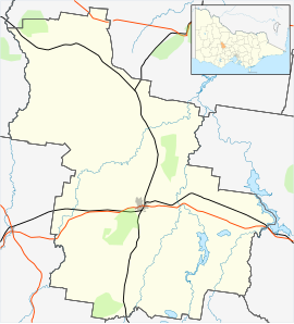
| Location |
|
| LGA(s) | Shire of Central Goldfields |
| State electorate(s) | Ripon |
| Federal division(s) | Mallee |
At the 2016 census, Craigie had a population of 57.[1]
References
- Australian Bureau of Statistics (27 June 2017). "Craigie". 2016 Census QuickStats. Retrieved 27 August 2017.
External links
![]() Media related to Craigie, Victoria at Wikimedia Commons
Media related to Craigie, Victoria at Wikimedia Commons
This article about a location in Victoria, Australia is a stub. You can help Wikipedia by expanding it. |
Текст в блоке "Читать" взят с сайта "Википедия" и доступен по лицензии Creative Commons Attribution-ShareAlike; в отдельных случаях могут действовать дополнительные условия.
Другой контент может иметь иную лицензию. Перед использованием материалов сайта WikiSort.org внимательно изучите правила лицензирования конкретных элементов наполнения сайта.
Другой контент может иметь иную лицензию. Перед использованием материалов сайта WikiSort.org внимательно изучите правила лицензирования конкретных элементов наполнения сайта.
2019-2026
WikiSort.org - проект по пересортировке и дополнению контента Википедии
WikiSort.org - проект по пересортировке и дополнению контента Википедии